RTK技術が精密農業におけるトラクターの自動操舵システムをどのように改善するか
RTK技術とは何ですか?
リアルタイムキネマティック(RTK)は、GPS、GLONASS、Galileo、BeiDouなどのGNSS衛星システムで使用される高精度測位技術です。.
標準的なGNSS測位は通常、メートルレベルの精度を提供しますが、これは一般的な航行には十分であるものの、多くの農業作業には精度が不十分です。RTK技術は、大気の状態、信号遅延、その他の干渉源によって引き起こされる衛星信号の誤差を補正することで、この精度を向上させます。.
RTKはリアルタイム補正を適用することで、測位精度をメートル単位からセンチメートル単位に向上させる。.
農業においては、このセンチメートル単位の精度は、以下のような作業において非常に価値があります。
・植栽
・施肥
・噴霧
収穫
• フィールドマッピング
RTK(リアルタイムキネマティック)測位機能により、農業機械は広大な圃場において正確な経路をたどり、一定の間隔を維持することができます。.
GNSS RTKの仕組み
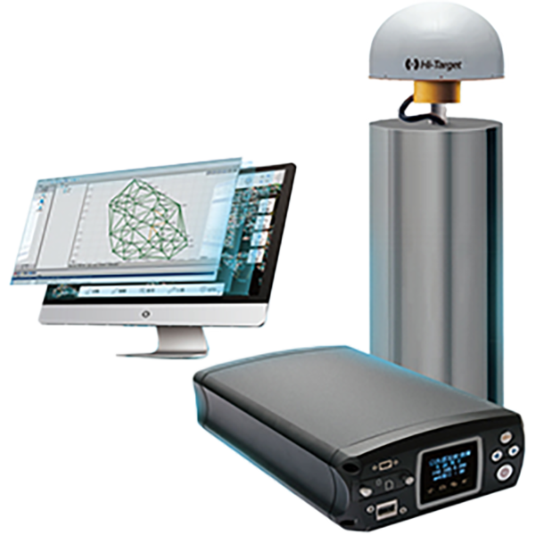
一般的なGNSS RTKシステムは、基地局と移動局受信機という2つの主要コンポーネントで構成されています。.
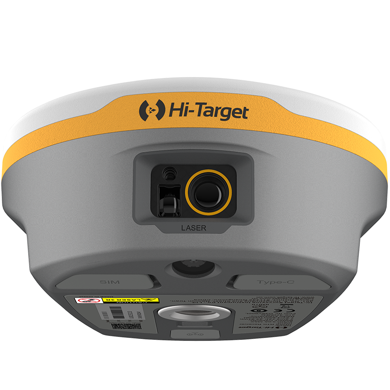
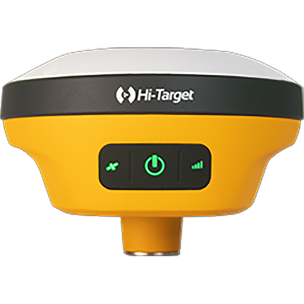
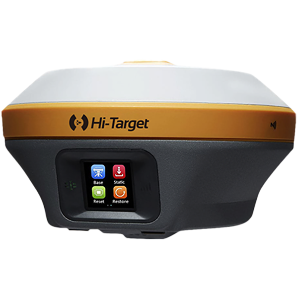
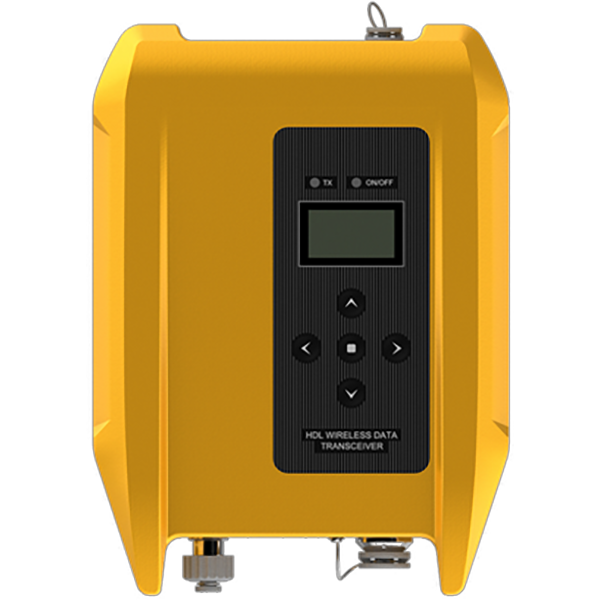
基地局
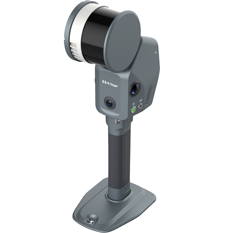
これは、衛星信号を捕捉し、リアルタイムで誤差を補正し、補正された信号を受信機に送信する固定局です。技術の進歩に伴い、CORS RTKや衛星ベースのPPP-RTKなど、いくつかのRTKモードが登場しました。一部の国では、無料の全国CORSネットワークが利用可能で、ユーザーにとって非常に便利です。さらに、購入プロセスにおいてRTKの設定と選択をサポートし、農家の方々が最適なソリューションを選択できるようお手伝いいたします。.
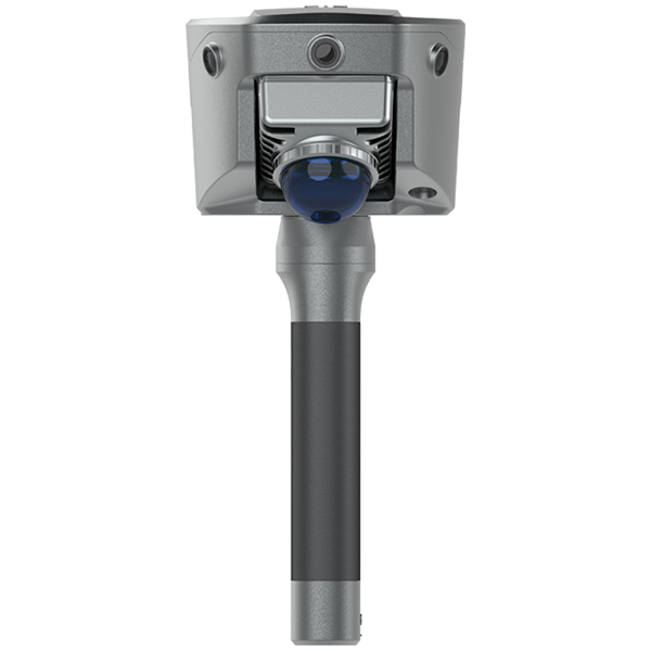
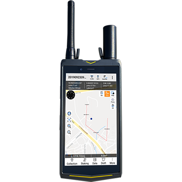
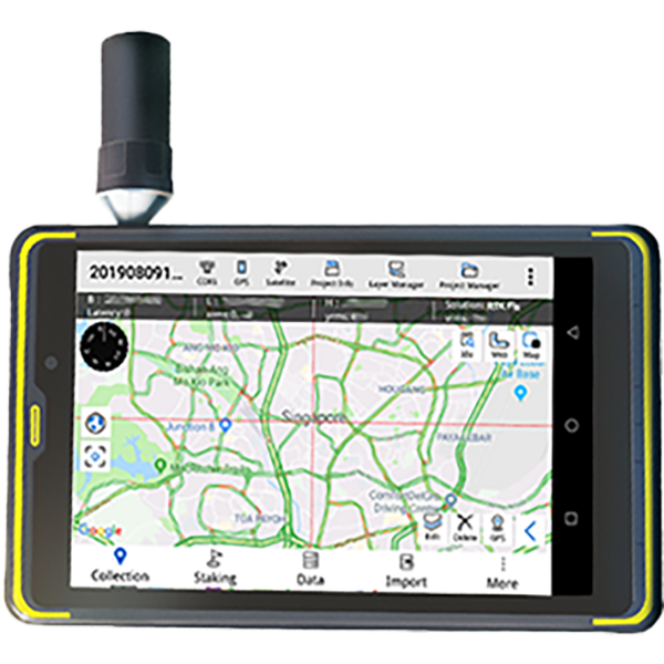
ローバー(モバイル受信機)
ローバーは、ドローン、農業機械、自動運転車など、さまざまな機器に搭載可能な移動式受信機です。UHF/VHF無線、携帯電話ネットワーク(5Gなど)、または衛星通信を介して基地局から補正済み信号を受信します。この補正データを用いて、ローバー自身の衛星データを調整し、高い位置精度と時刻精度を実現します。.
簡単に言うと、そのプロセスは以下のとおりです。
基地局は衛星信号の誤差を測定し、補正値を生成する。基地局は通信リンクを介して、これらの補正値をリアルタイムで移動局に送信する。.
この探査車は、正確な位置データに対する補正を適用することで、農業作業においてセンチメートルレベルの精度を実現する。.
トラクターの自動操舵システムにとってRTKが重要な理由
RTK測位は、現代のトラクターのナビゲーションシステムや自動操舵システムの基盤となる技術です。高精度な測位がなければ、自動誘導システムは圃場全体で一貫した走行経路を維持することができません。.
RTKは正確な位置データを提供することで、農業機械のより高い精度での運転を可能にする。.
精密誘導
RTK技術により、トラクターなどの機械は最小限のずれで正確な圃場経路をたどることができます。これにより、圃場作業中の重複や見落とし箇所が減り、圃場全体のカバー率が向上します。.
自動操舵
農業におけるRTKの最も一般的な用途の一つは、トラクターの自動操舵である。.
RTK測位システムにより、トラクターは直線や事前に計画された誘導経路をセンチメートル単位の精度で自動的に追従できます。これにより、運転手の疲労が軽減され、長時間作業や霧、砂塵、夜間作業などの視界不良条件下でも、オペレーターはより効率的に作業を行うことができます。.
現地調査とデータ収集
RTKは高精度な圃場マッピングにも対応しています。農家は、圃場のさまざまなエリアにおける土壌の状態、排水パターン、作物の生育状況の違いを明らかにする詳細な地図を作成できます。.
これらの知見は、農家がより情報に基づいた経営判断を下すのに役立つ。.
作物栽培管理
RTKは、播種作業において特に有効です。正確なガイダンスにより、畝間隔の均一化と種子の正確な配置が保証され、作物の均一性を向上させ、利用可能な圃場スペースを最大限に活用できます。.
なぜRTKが農場にとって重要なのか:RTKは、現代の農作業に必要な精度を農家に提供します。エラーを減らし、資源を節約し、自動化の信頼性を高めることで、あらゆる農地からより多くの収穫を得ることができます。つまり、無駄な労力を一切かけずに、あらゆる農地を最大限に活用できるのです。.
現代農業におけるRTK技術の利点
RTK技術の導入は、農業経営にいくつかの重要な利点をもたらす。.
効率の向上
RTK誘導式機械は、最適化された圃場経路を高精度で追従できるため、不要な走行回数を減らし、作業効率全体を向上させることができます。.
投入コストの削減
種子、肥料、農薬を正確に施用することで、投入資材の無駄を最小限に抑え、運営コストを削減できます。.
作物の収穫量の向上
正確な植え付けとより良い資源管理は、作物の生育の均一化と収量増加に貢献する。.
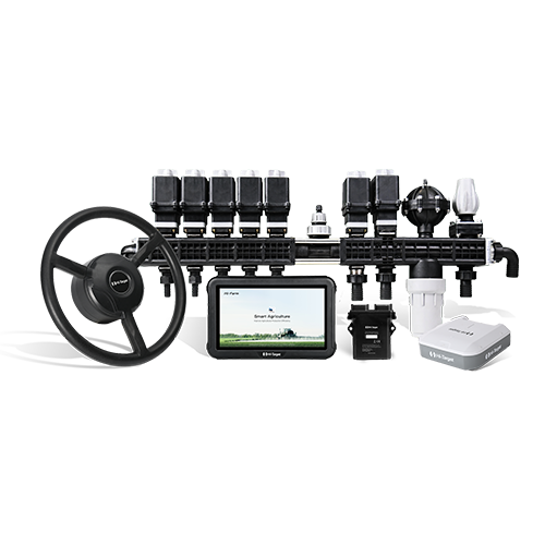
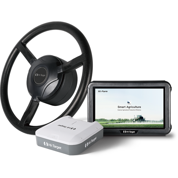
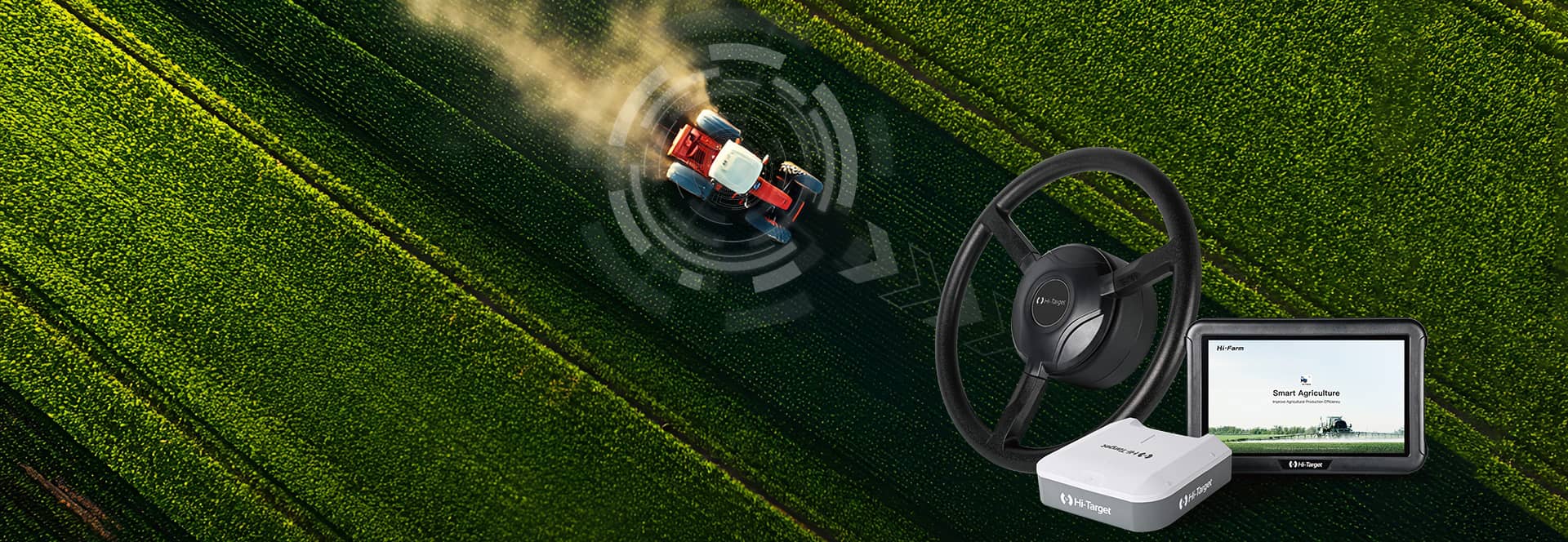
現代農業向けRTK搭載自動操舵システム
精密農業が進化を続けるにつれ、高度なRTKベースのナビゲーションシステムは、現代の農業機械にとって不可欠なものになりつつある。.
多くの最新ソリューションは、以下のような複数のテクノロジーを単一のプラットフォームに統合しています。
高精度RTK GNSS測位
トラクターの自動操舵システム
ISOBUSによる制御の実装
デジタル農場管理ソフトウェア
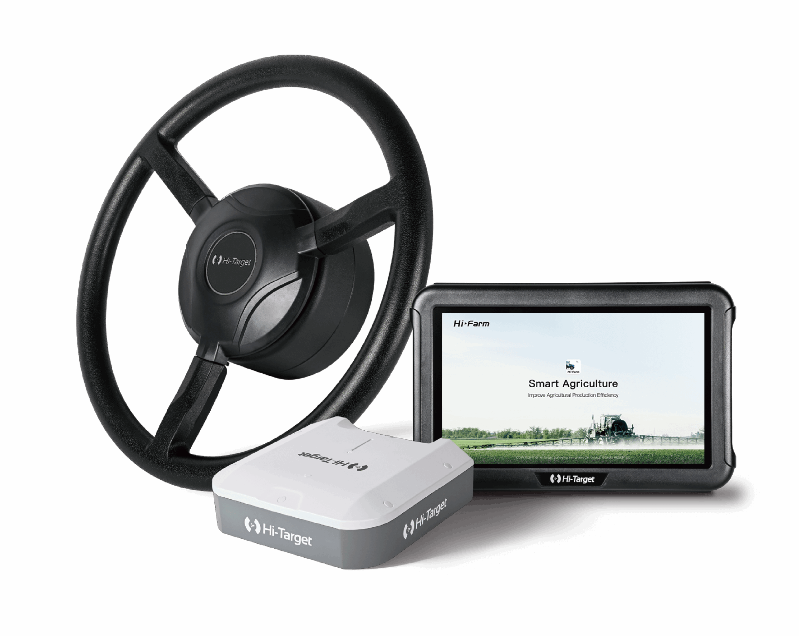
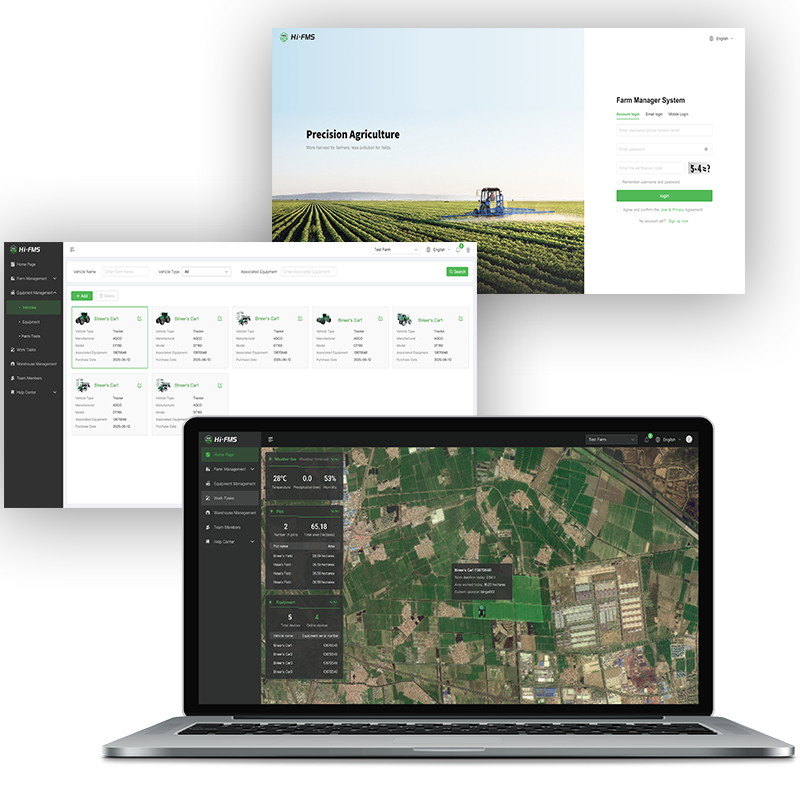
この統合的アプローチの一例として、 FARMSTAR-F3自動操舵システム, これは、高精度GNSSステアリング、完全なISOBUS互換性、およびHiFarmやHi-FMSなどのインテリジェントな農場管理ソフトウェアを組み合わせたものです。.
ナビゲーション、作業機制御、農場データ管理を1つのプラットフォームに統合することで、次のようなシステムが可能になります。 ファームスターF3 農家がより効率的に農業を行い、投入コストを削減し、日々の農業作業を簡素化できるよう支援する。.
製品の詳細情報については、以下の方法でお問い合わせください。 'お問い合わせ' Hi-Target公式サイトにて。
ハイターゲットについて
1999年に設立されたHi-Targetは、高精度地理空間ソリューションにおける革新主導型のリーディングカンパニーです。インフラ、建設、農業、海洋、都市計画、鉱業など、幅広い業界に統合ソリューションを提供しています。その事業内容は、測量・エンジニアリング、モバイルGIS、水路測量、モニタリング・機械制御、精密農業、グローバル補正サービスなど多岐にわたります。.
1,700名の専門家チーム、11の国際拠点、そして100カ国以上で800を超えるパートナーを擁するHi-Targetは、強力なグローバル展開力と卓越した業務遂行能力を保証します。.