

よくある質問
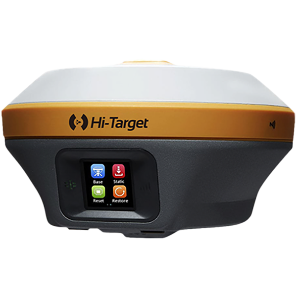
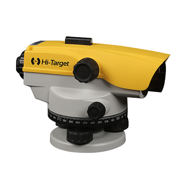
ロボットトータルステーションの一般的なハードウェアトラブルシューティング
(1)電源を入れたときにデバイスが反応しない場合、または異常にシャットダウンした場合は、どうすればよいですか?
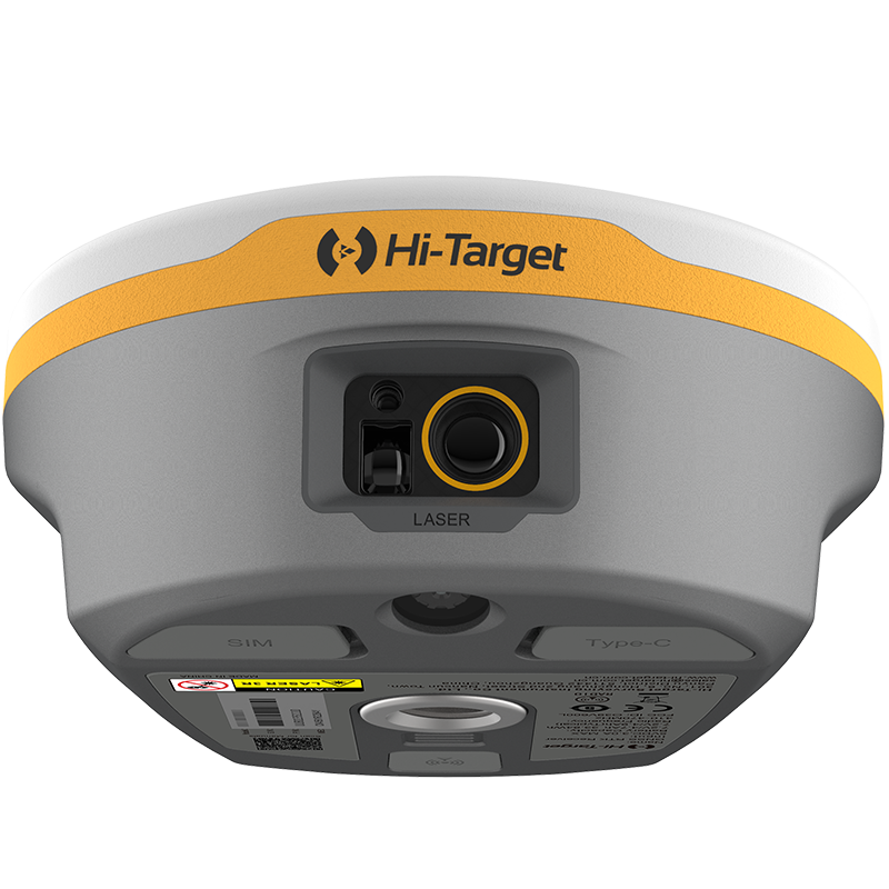
(2)下部中央のカメラまたはレーザーが作動しない場合はどうすればよいですか?
(3)補償器のデータが表示されない場合?
(4)角度測定異常または垂直角度が負の値を表示していますか?
(5)距離を測定できない、または測定誤差が著しい
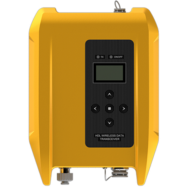
(6)ラジオ局に接続できない場合はどうすればよいですか?
(7)光学傾斜測量は精度が低く、変動が大きい。.
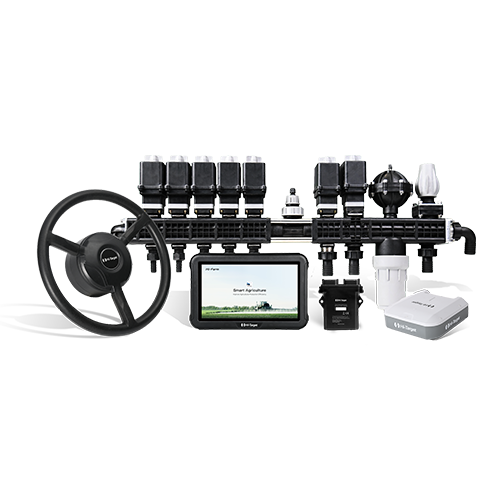
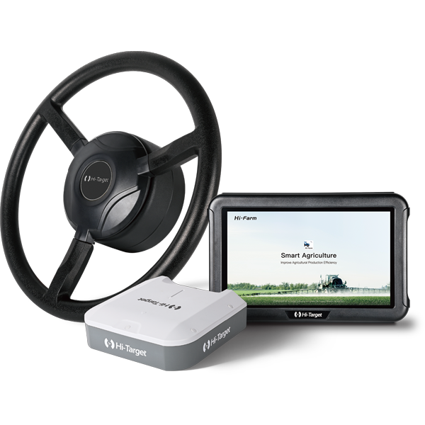
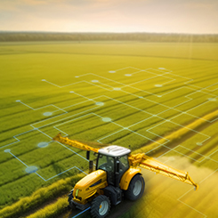
RTK技術が精密農業におけるトラクターの自動操舵システムをどのように改善するか
精密農業は現代農業を変革しつつあります。今日の農家は、労働力、投入コスト、環境負荷を削減しながら、より多くの食料を生産する必要があります。これを実現するために、多くの農場は高度な測位・誘導技術に頼っています。.
現代の農業ナビゲーションと 自動操舵システム は リアルタイムキネマティック(RTK) 位置付け。.
RTK技術は農業機械にセンチメートルレベルの精度を提供し、トラクター、噴霧器、収穫機が圃場を正確な経路で走行することを可能にします。このレベルの測位精度により、農家は重複作業を減らし、投入資材の使用を最適化し、圃場効率を大幅に向上させることができます。.
では、RTK技術とは一体何なのか、そしてなぜ現代のトラクターナビゲーションシステムにとって不可欠なのか?
トラクターの自動操舵システムが現代農業の効率性をどのように向上させるか
現代農業は絶え間ない変革期を迎えている。労働力不足、予測不可能な気象条件、そして限られた資源でより多くの生産量を求める需要の高まりが、農家を精密農業技術の導入へと駆り立てている。その結果、農業機械の近代化は、圃場効率と作業精度の向上に向けた重要な戦略となっている。.
高価な新型機器を購入する代わりに、多くの農家は既存のトラクターに高度な制御・ナビゲーション技術を搭載することで、性能を向上させることを選択している。.
これらの技術の中で、 自動操舵システム 現代において最も重要なツールの1つとなっている 精密農業. トラクターに自動誘導システムを組み込むことで、農家は圃場の均一性と作業効率を大幅に向上させることができます。これらのシステムは、畝間作物の管理、耕起、散布、播種など、広大な農地で高い精度が求められる作業に広く利用されています。.
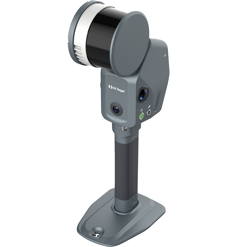
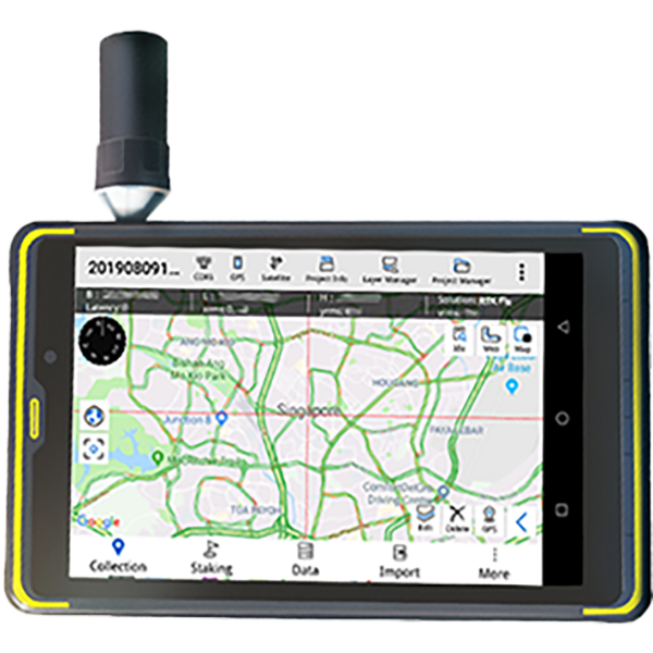
V700S SLAM RTKの微弱信号測定機能の使い方
このステップバイステップのチュートリアルでは、次の内容を学習します。
• セットアップの準備方法
• SLAM-RTKモードに入る方法
• 正しい初期化方法(L字型/Z字型歩行経路)
• トンネル、地下室、屋内、軒下で安定したSLAM-Fixを実現する方法
• 測量後にSLAMタグ付き計測点を確認する方法
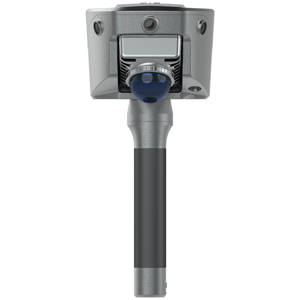
V700S SLAM RTKのSLAM画像測量機能の使い方
V700S SLAM-Image Survey Mode を使用して、写真から直接正確なポイントをキャプチャする方法を紹介します。.
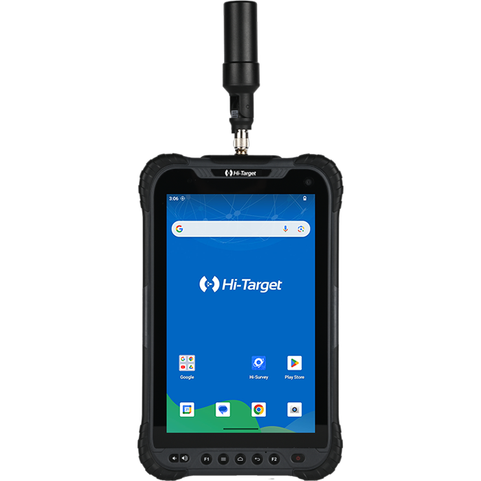
V700S SLAM RTK Systemパッケージには何が含まれていますか? フルセットの価格はいくらですか?
パッケージには主に V700S SLAM RTK そして Qpad X9タブレット, および付属品が含まれています。点群データの後処理機能が必要な場合は、ソフトウェアを別途ご購入いただく必要がありますのでご注意ください。価格の詳細については、 'お問い合わせ' Hi-Target公式サイトにて。
V700S で備蓄品をスキャンした後、現場作業ソフトウェアで体積の結果を直接計算して出力できますか?
はい、V700S は、リアルタイムのポイント クラウド データを使用して Hi-Survey ソフトウェアで直接体積計算の領域を選択し、体積を計算するための基準標高または基準面を設定し、土工データを CSV 形式でエクスポートすることをサポートしています。
SLAM モードを初期化した後、収集したポイントが測地座標系の座標で記録されないのはなぜですか?
GNSS 以外の環境で SLAM モードに入ると、収集されたポイントは空間直交座標 XYZ のみを記録します。屋外のオープン環境では、初期化後に測地座標を計算するために 5 メートル以上移動する必要があります。