


よくある質問
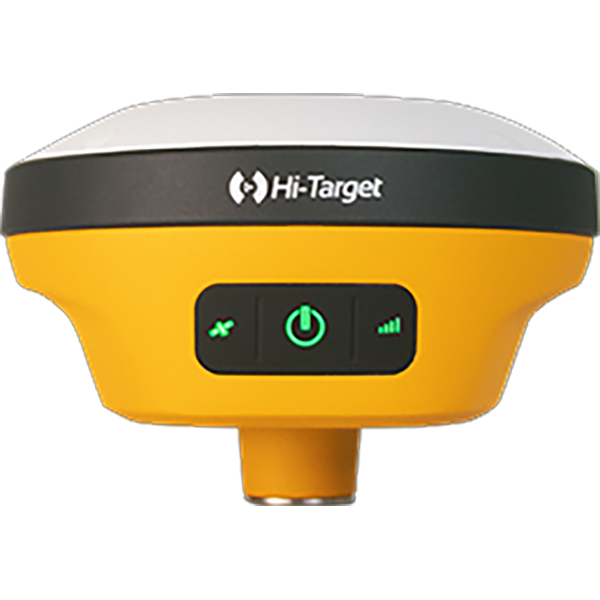
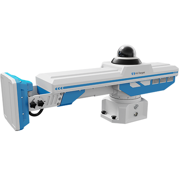
Common Hardware Troubleshooting for Robotic Total Stations
(1)What should be done if the device fails to respond when powered on or shuts down abnormally?
(2) What should be done if the lower centre camera or laser cannot be activated?
(3) No data displayed for the compensator?
(4) Angle measurement anomaly or vertical angle displaying negative values?
(5) Unable to measure distance or experiencing significant measurement errors?
(6) What should be done if I cannot connect to the radio station?
(7) Optical tilt survey exhibits low accuracy and significant fluctuations.
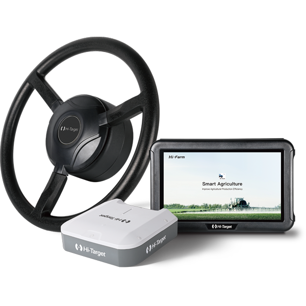
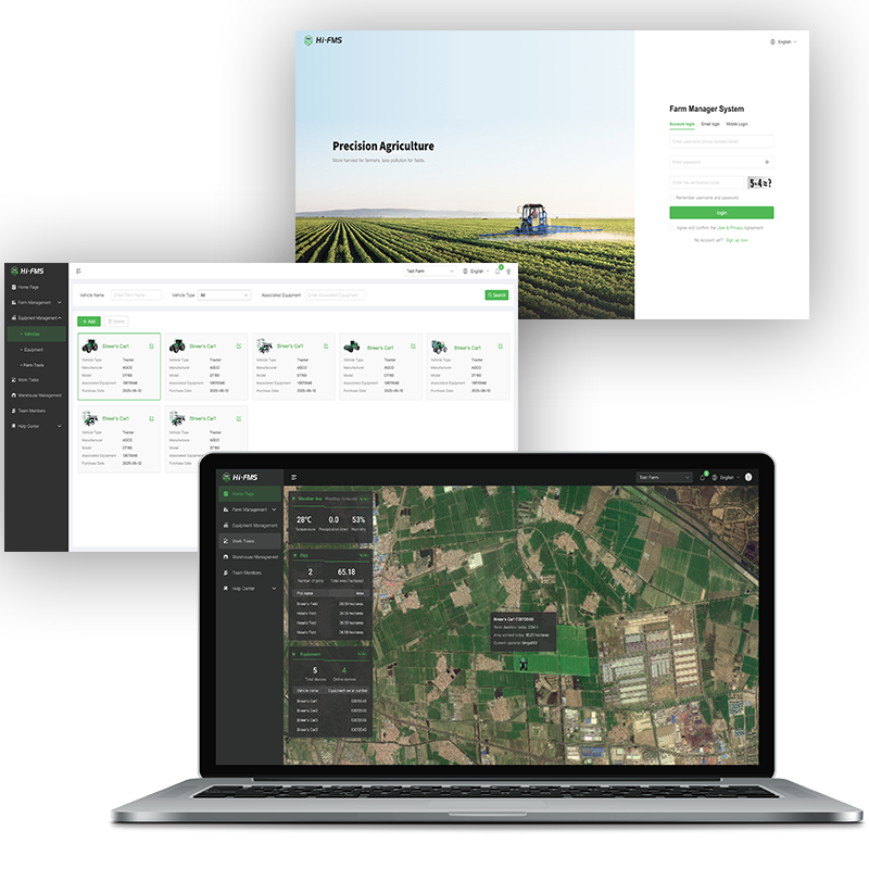
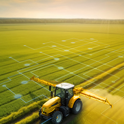
How RTK Technology Improves Tractor Auto-Steering Systems in Precision Agriculture
Precision agriculture is transforming modern farming. Farmers today need to produce more food while reducing labor, input costs, and environmental impact. To achieve this, many farms rely on advanced positioning and guidance technologies.
One of the most important technologies behind modern agricultural navigation and 自動操舵システム is Real-Time Kinematic (RTK) positioning.
RTK technology provides centimeter-level accuracy for farm machinery, allowing tractors, sprayers, and harvesters to follow precise paths across the field. With this level of positioning accuracy, farmers can reduce overlaps, optimize input usage, and significantly improve field efficiency.
So what exactly is RTK technology, and why is it essential for modern tractor navigation systems?
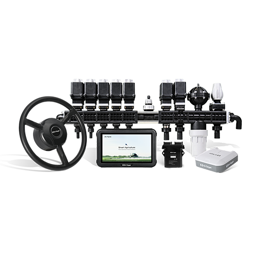
How Tractor Auto-steering System Improve Modern Agricultural Efficiency
Modern agriculture is experiencing continuous transformation. Labor shortages, unpredictable weather conditions, and the increasing demand to produce more with fewer resources are pushing farmers to adopt precision technologies. As a result, modernising agricultural machinery has become an important strategy for improving field efficiency and operational accuracy.
Instead of purchasing expensive new equipment, many farmers choose to upgrade their existing tractors by installing advanced control and navigation technologies.
Among these technologies, the auto-steering system has become one of the most important tools in modern 精密農業. By integrating automated guidance systems into tractors, farmers can significantly improve field consistency and operational efficiency. These systems are widely used for tasks such as row crop management, tillage, spraying, planting, and other operations that require high precision across large farming areas.
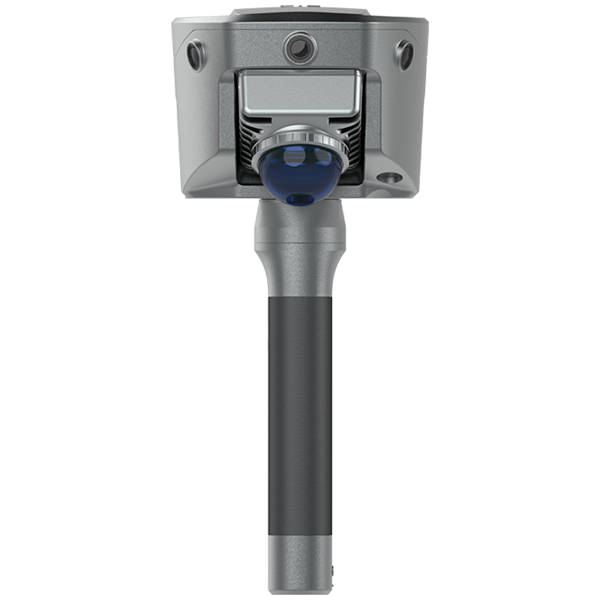
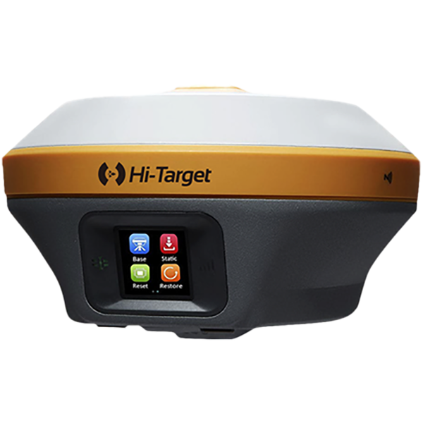
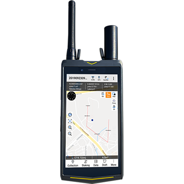
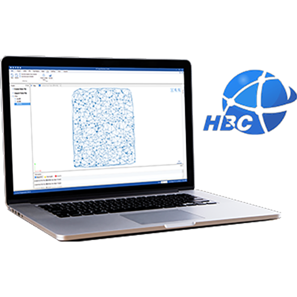
V700S SLAM RTKの微弱信号測定機能の使い方
このステップバイステップのチュートリアルでは、次の内容を学習します。
• セットアップの準備方法
• SLAM-RTKモードに入る方法
• 正しい初期化方法(L字型/Z字型歩行経路)
• トンネル、地下室、屋内、軒下で安定したSLAM-Fixを実現する方法
• 測量後にSLAMタグ付き計測点を確認する方法
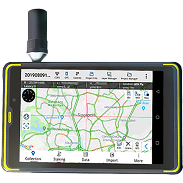
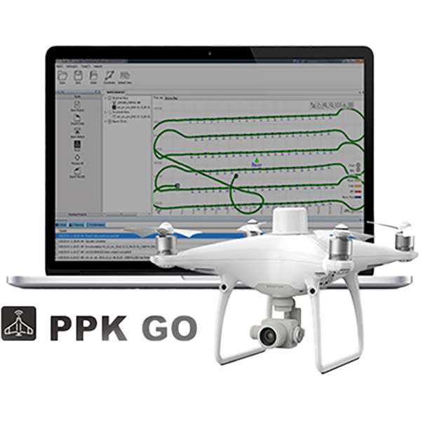
V700S SLAM RTKのSLAM画像測量機能の使い方
V700S SLAM-Image Survey Mode を使用して、写真から直接正確なポイントをキャプチャする方法を紹介します。.
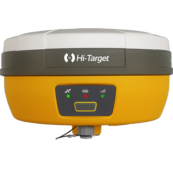
V700S SLAM RTK Systemパッケージには何が含まれていますか? フルセットの価格はいくらですか?
パッケージには主に V700S SLAM RTK そして Qpad X9タブレット, および付属品が含まれています。点群データの後処理機能が必要な場合は、ソフトウェアを別途ご購入いただく必要がありますのでご注意ください。価格の詳細については、 'お問い合わせ' Hi-Target公式サイトにて。
V700S で備蓄品をスキャンした後、現場作業ソフトウェアで体積の結果を直接計算して出力できますか?
はい、V700S は、リアルタイムのポイント クラウド データを使用して Hi-Survey ソフトウェアで直接体積計算の領域を選択し、体積を計算するための基準標高または基準面を設定し、土工データを CSV 形式でエクスポートすることをサポートしています。
SLAM モードを初期化した後、収集したポイントが測地座標系の座標で記録されないのはなぜですか?
GNSS 以外の環境で SLAM モードに入ると、収集されたポイントは空間直交座標 XYZ のみを記録します。屋外のオープン環境では、初期化後に測地座標を計算するために 5 メートル以上移動する必要があります。