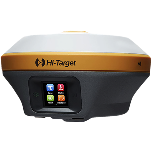
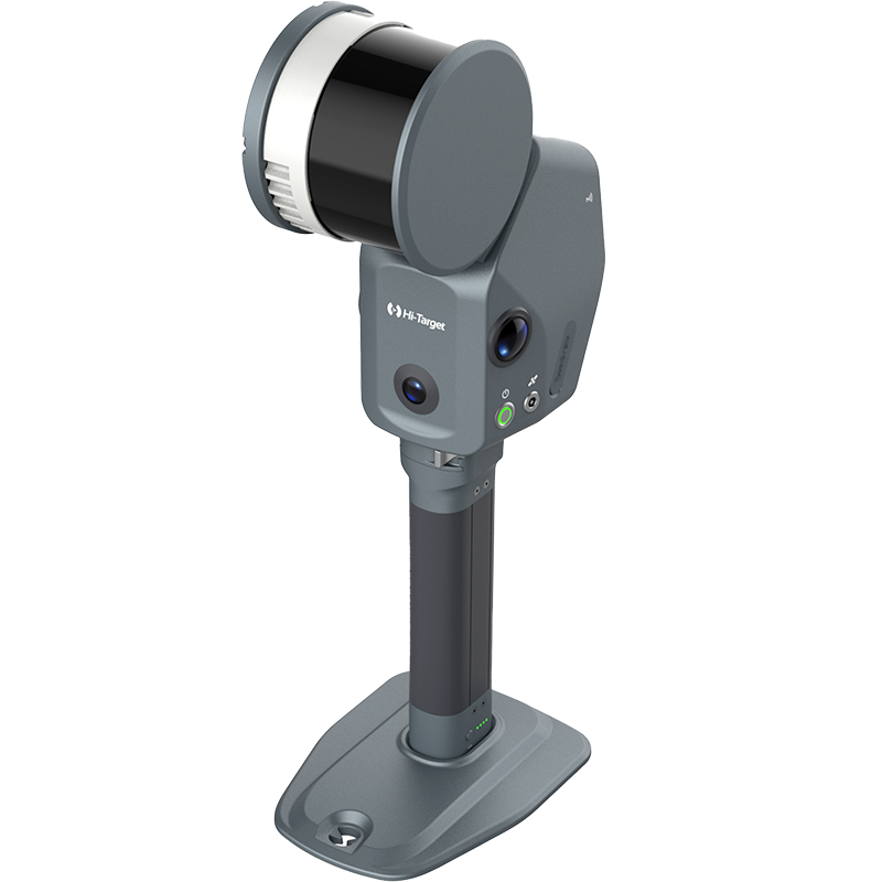
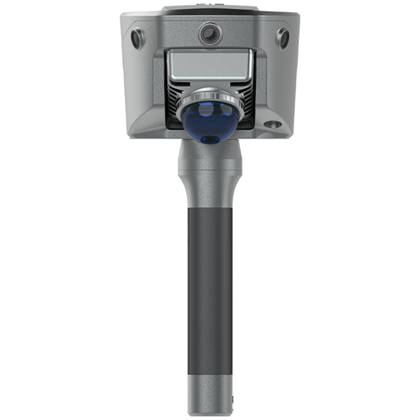
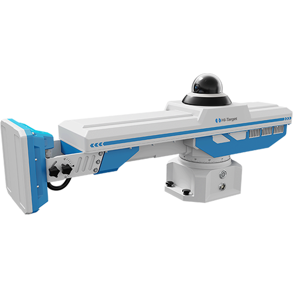


ハイターゲット モバイル マッピング システム: 高精度 IMU とレーザー スキャナーを構成する HiScan-S は、道路調査を全面的にサポートする高精度かつ高密度のポイント クラウド データを提供します。
このウェビナーでは、HiScan-Sが高速道路で点群データと画像データを取得する事例をご紹介します。高速道路の再構築には高い絶対精度が求められます。このプロジェクトにおけるHiScan-Sのワークフローと結果を体験することで、MMSを用いて高精度の点群データを取得し、道路測量やその他のアプリケーションにどのように適用しているかをご理解いただけます。
扱われるトピックには以下が含まれます
プロジェクト概要
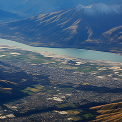
1. インドの高速道路の背景
2. 収集前の準備
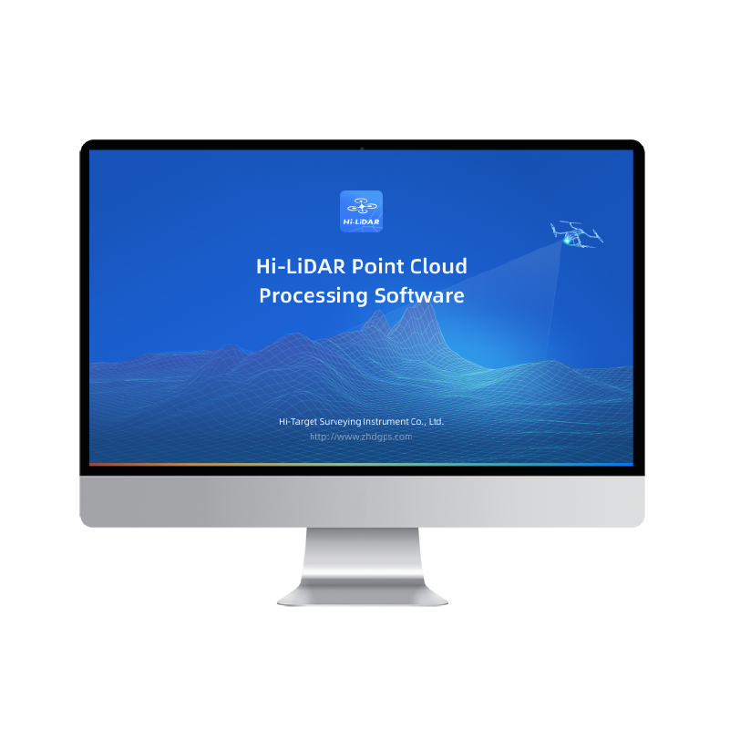
2. データの収集と処理
3. 結果表示
ハイターゲットモバイルマッピングシステム
1. MMSの紹介
2. 典型的なアプリケーション
3. コアとなる利点
講演者: Rick Ma 氏は長年レーザー スキャナー技術を研究し、レーザー スキャナーによって実行される多くの大規模プロジェクトに参加してきました。