
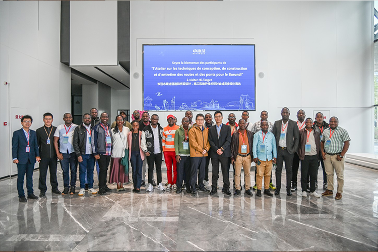
Recently, Hi-Target welcomed the members of the Burundi Road and Bridge Design, Construction and Maintenance Technology Seminar to its headquarters in Guangzhou for an in-depth technical exchange. The visit focused on advanced geospatial technologies that are transforming modern transportation infrastructure, from road planning and engineering design to long-term monitoring and maintenance.
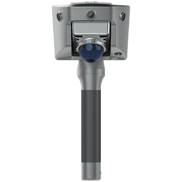
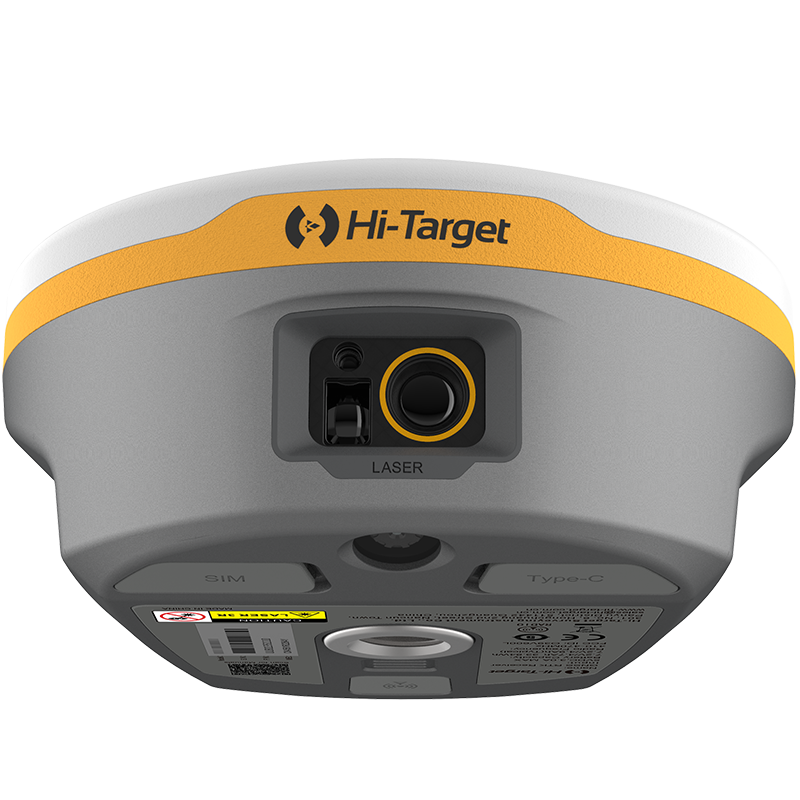
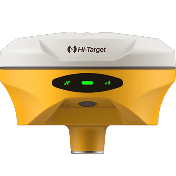
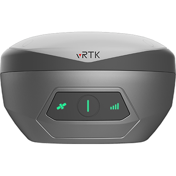
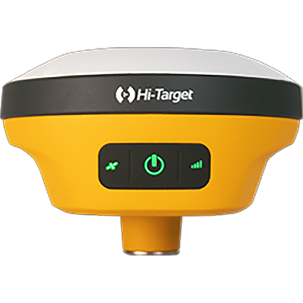
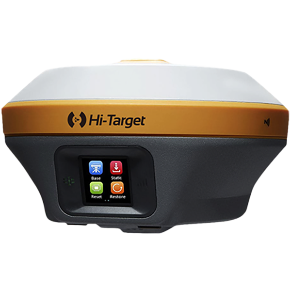
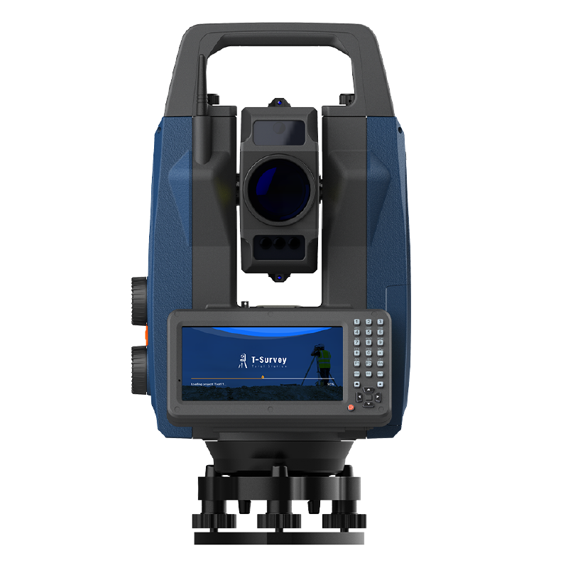
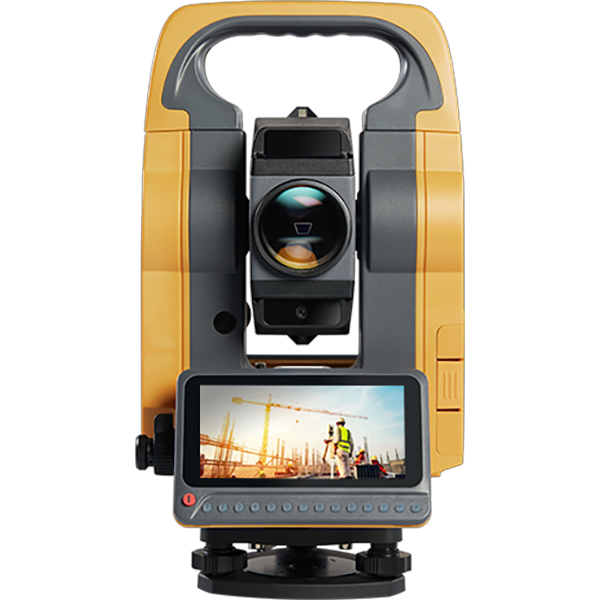
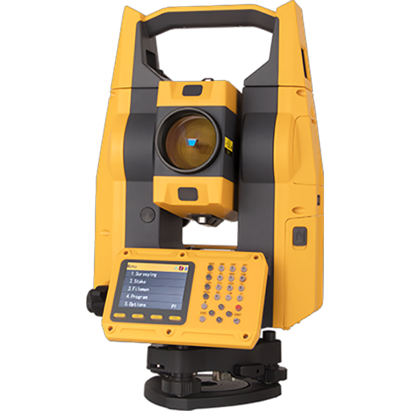
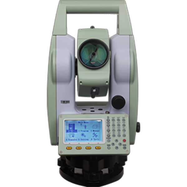
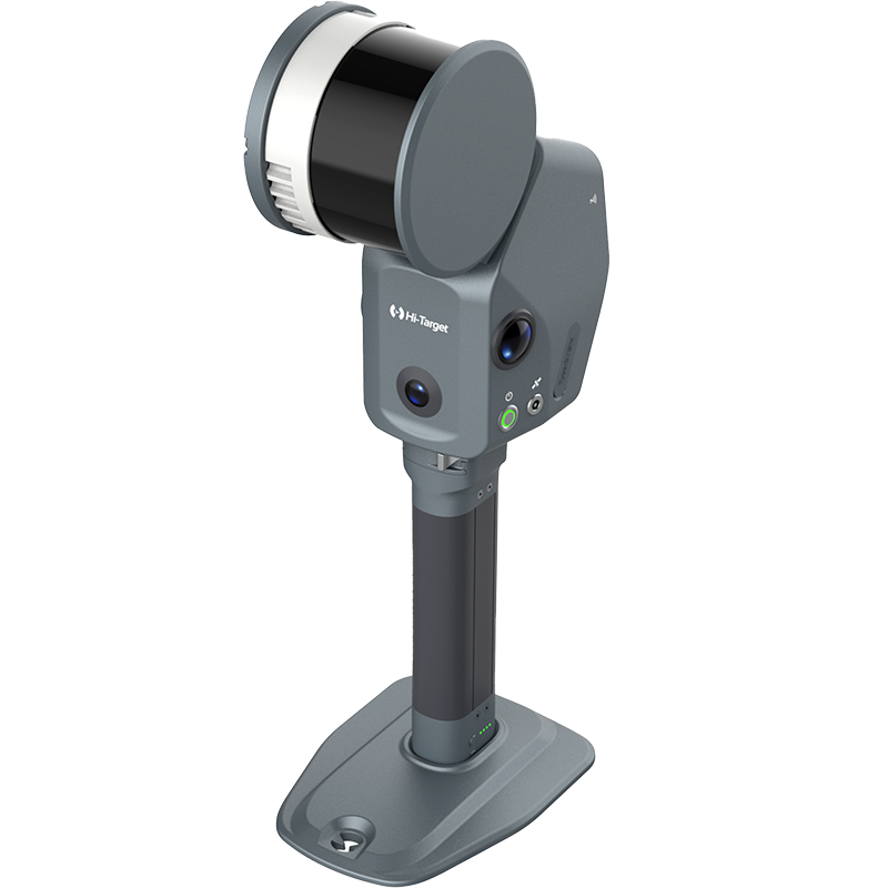
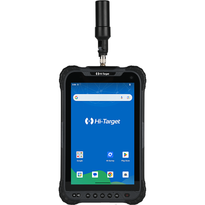
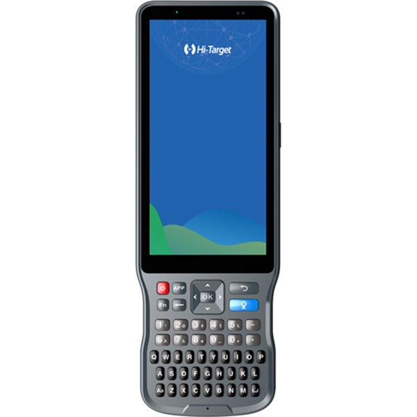
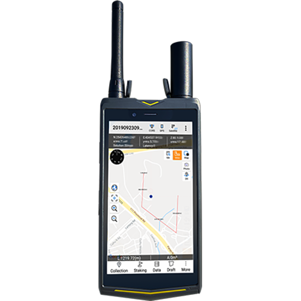
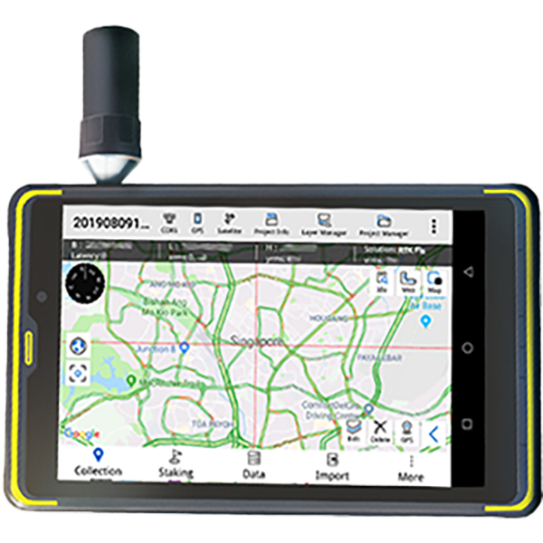
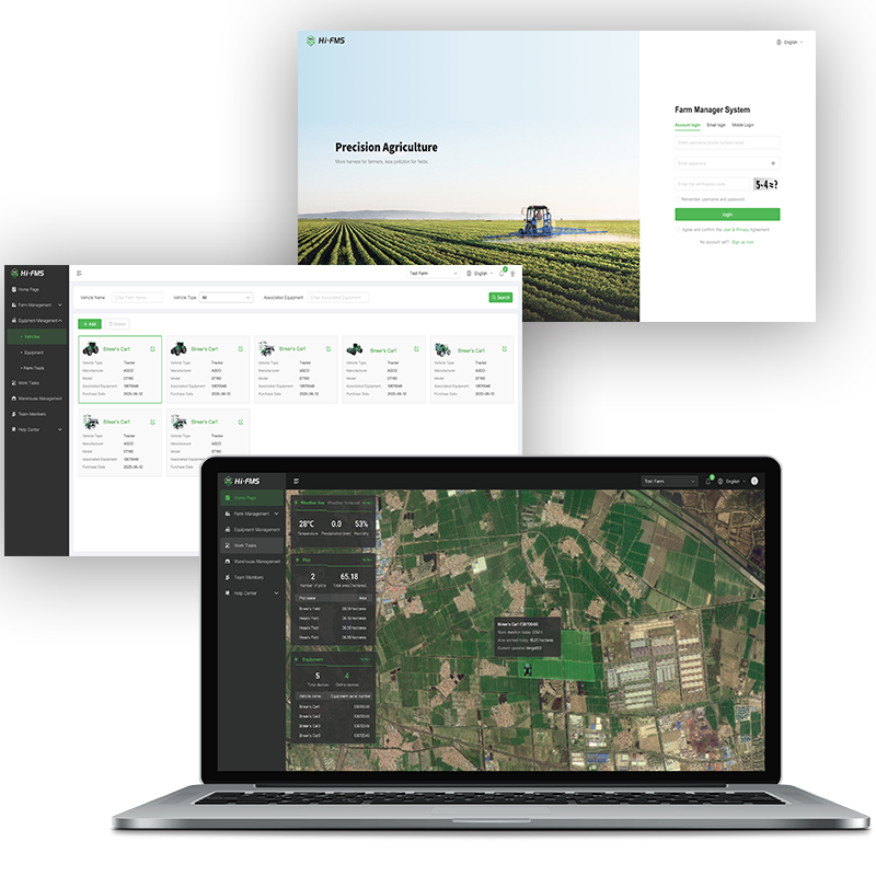
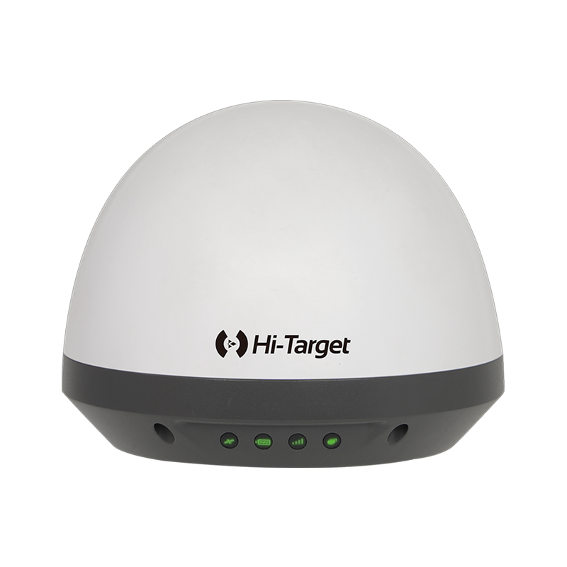
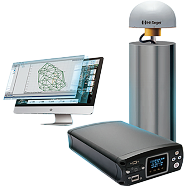
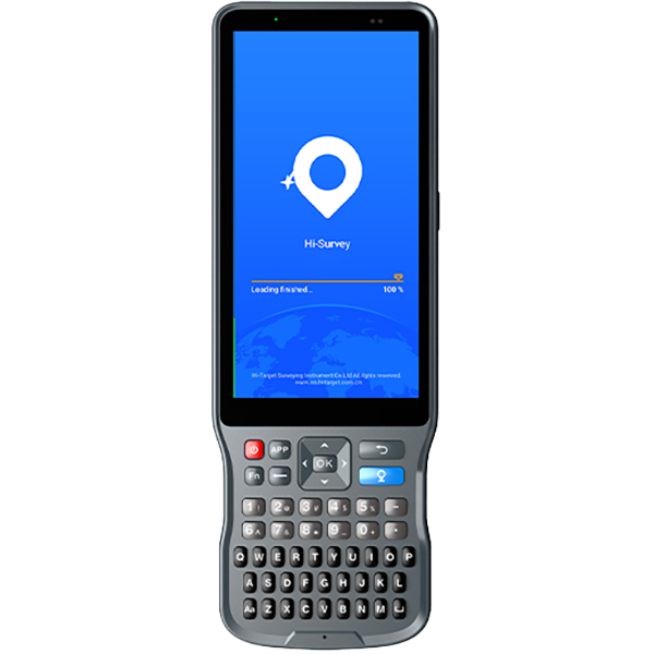
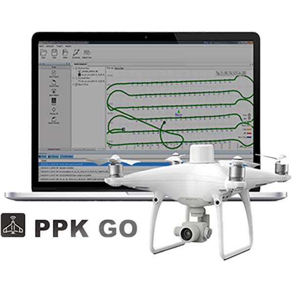
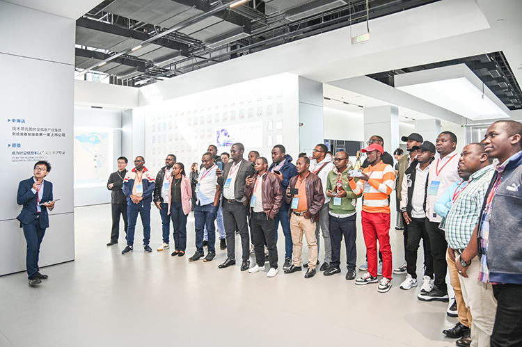
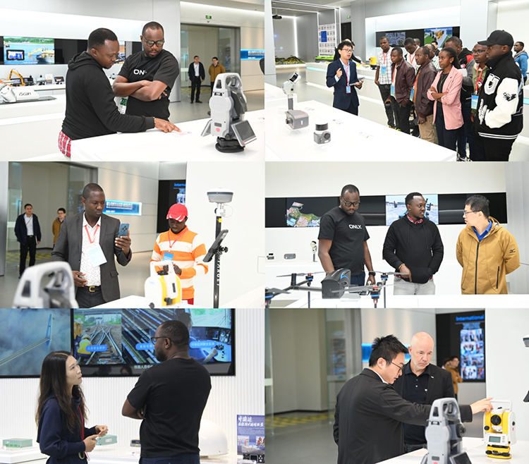
The visit began with a guided tour of Hi-Target’s exhibition hall, where the delegation explored a comprehensive range of products and solutions widely used across transportation and infrastructure projects. Through interactive demos and real-case scenarios, the guests were introduced to Hi-Target’s LiDAR systems, mobile mapping solutions, GNSS surveying equipment, total stations, CORS infrastructure, hydrographic solutions, and intelligent monitoring platforms—an integrated portfolio supporting road corridor modeling, structural inspection, construction surveying, and highway disaster management.
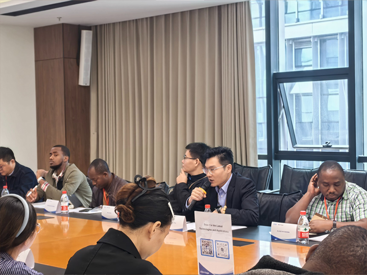
The delegation was welcomed by Mr. Hanson Zhou, a senior leader of Hi-Target’s Product Marketing Department in the Surveying Equipment Division, who briefly introduced Hi-Target’s experience in surveying and geospatial solutions and highlighted its commitment to supporting road and bridge development.
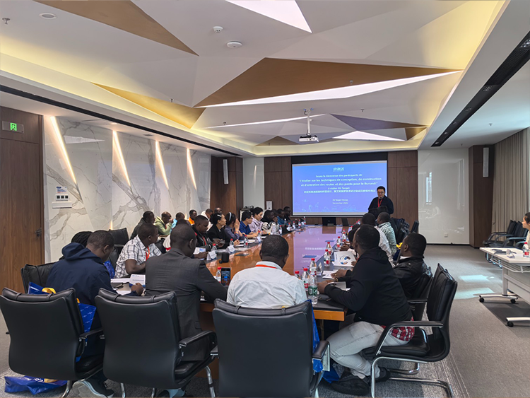
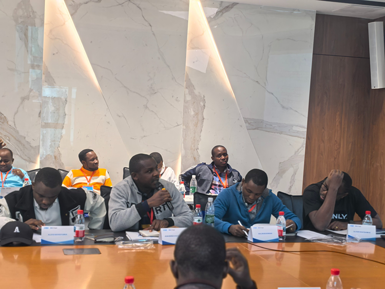
During the technical session, Hi-Target experts delivered specialized presentations on two topics that align closely with Burundi’s infrastructure priorities:
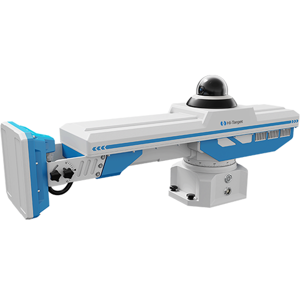
• Application of LiDAR in the Transportation Sector
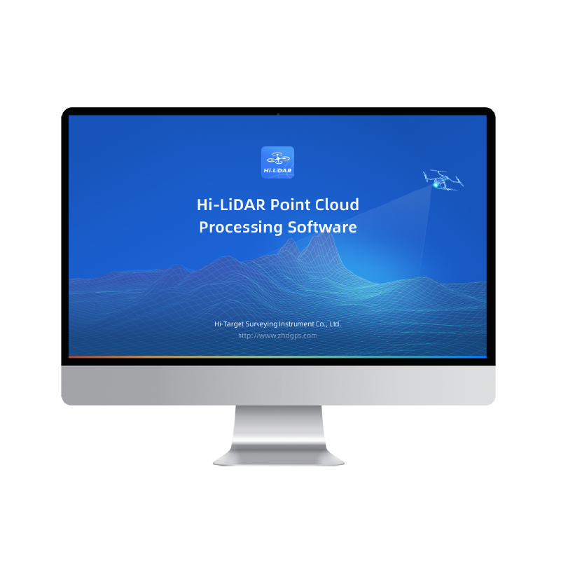
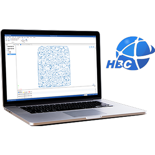
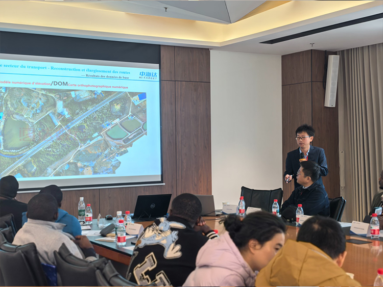
The delegation learned how Hi-Target’s LiDAR technologies enable accurate, efficient, and data-driven transportation planning—from road alignment design and terrain modeling to construction quality inspection and digital twin applications. The presentation highlighted how 3D high-density point cloud data can significantly enhance decision-making, reduce risks, and accelerate modern road and bridge construction workflows.
• Intelligent Monitoring and Inspection Solutions for Highway Natural Disasters
Hi-Target experts also introduced intelligent monitoring solutions designed to address geological hazards commonly encountered along transportation corridors, including landslides, slope failures, bridge deformation, and structural displacement. By integrating real-time sensing, automated early warning, and unified data platforms, these solutions strengthen disaster prevention, enhance operational safety, and support the long-term maintenance and resilience of transportation infrastructure.
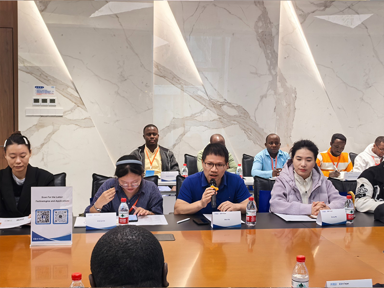
Following the presentations, both sides engaged in a meaningful exchange on project experiences and the practical challenges of infrastructure construction in Burundi. The delegation shared the current needs and technical constraints in road and bridge development, while Hi-Target provided insights into how digital surveying, remote monitoring, and smart data platforms can help improve construction efficiency, enhance safety, and promote sustainable development.
The visit not only broadened the delegates’ understanding of advanced geospatial technologies but also laid a solid foundation for future cooperation. As Burundi continues to invest in national transportation upgrades, Hi-Target looks forward to supporting these efforts with innovative solutions tailored to local environments and development goals.
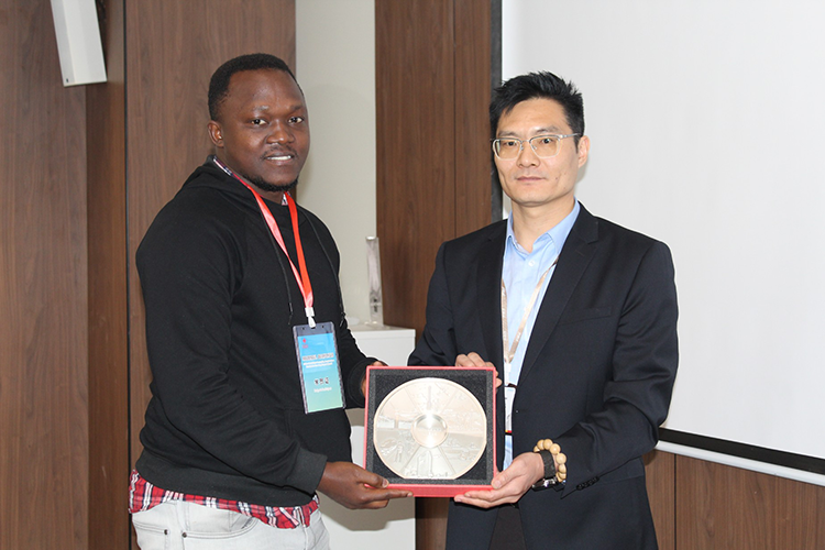
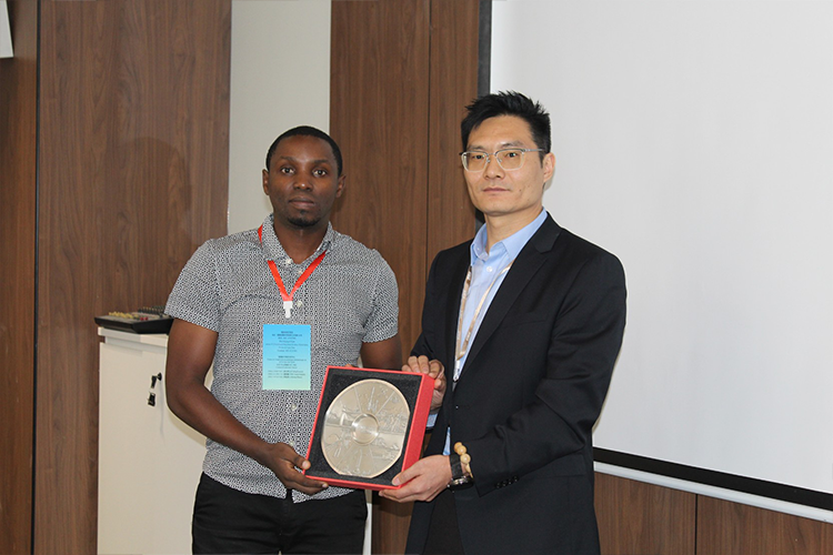
Hi-Target remains committed to empowering global infrastructure development through intelligent surveying technologies, fostering long-term partnerships, and contributing to safer, smarter, and more resilient transportation systems worldwide.