Frequently Asked Questions
How to Use the Weak Signal Measurement Function on the V700S SLAM RTK
In this step-by-step tutorial, you’ll learn:
• How to prepare your setup
• How to enter SLAM-RTK Mode
• How to perform correct initialization (L-shape / Z-shape walking path)
• How to ensure stable SLAM-Fix in tunnels, basements, indoor areas & under eaves
• How to check SLAM-tagged measurement points after surveying
How to Use the SLAM-Image Survey Function on the V700S SLAM RTK
We show you how to use the V700S SLAM-Image Survey Mode to capture precise points — directly from a photo.
What does a V700S SLAM RTK System package include? What is the price of the complete set?
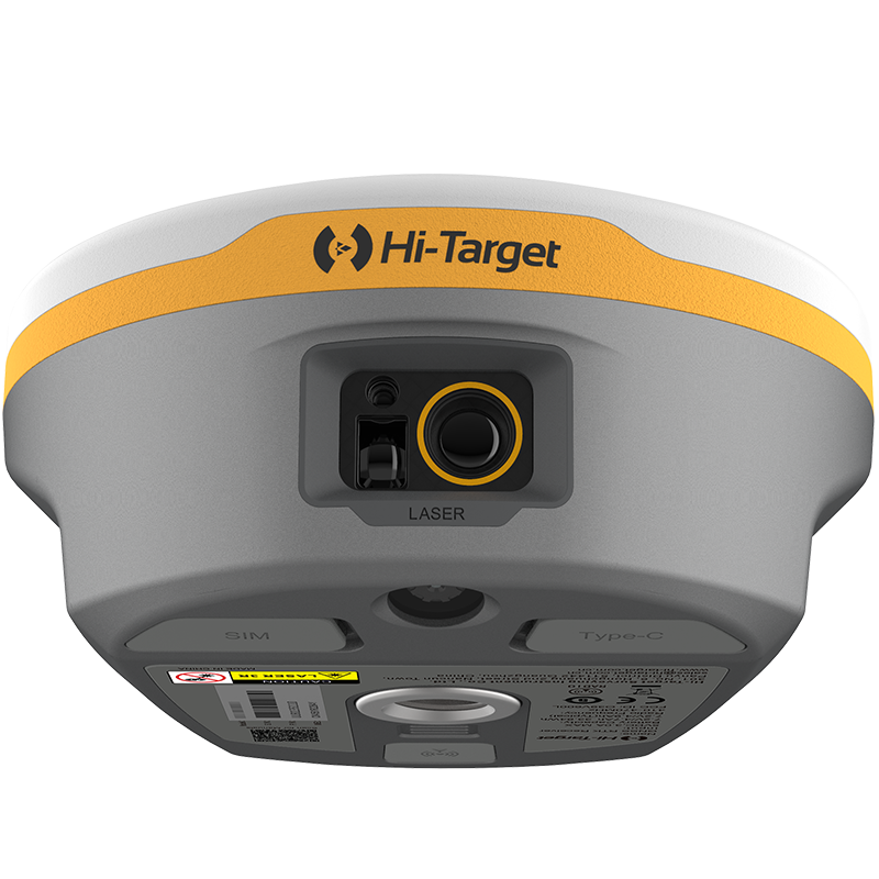
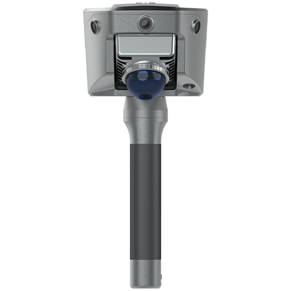
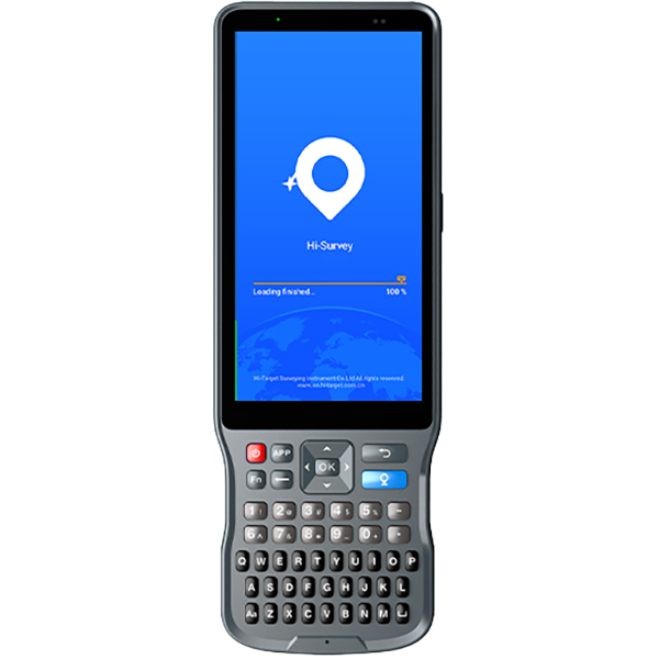
The package mainly includes the V700S SLAM RTK and Qpad X9 tablet, along with their accessories. Please note that if point cloud data post-processing capabilities are needed, the software needs to be purchased separately. For pricing details, please send a query through the ‘Contact Us’ on the Hi-Target official website.
After scanning the stockpiles with the V700S, can the fieldwork software directly calculate and output the volume results?
Yes, V700S supports selecting the area for volume calculation directly in the Hi-Survey software using real-time point cloud data, setting a reference elevation or reference plane to calculate the volume, and exporting the earthwork data in CSV format.
After initializing the SLAM mode, why are those points I collected not recorded with coordinates in the geodetic coordinate system?
When entering SLAM mode in a non-GNSS environment, collected points will only record spatial Cartesian coordinates XYZ.; In an outdoor open environment, after initialization, it is necessary to move more than 5 meters to calculate the geodetic coordinates.
What should be paid attention to during the initialization process of SLAM-RTK mode and SLAM image measurement mode?
During the stationary step, avoid significant shaking of the RTK device and keep the receiver still for 3-5 seconds; point it towards features such as buildings and other objects with rich characteristics, and avoid pointing it towards moving vehicles, crowds, or open fields.
During the moving step, choose a relatively open and unobstructed scene to ensure reliable GNSS accuracy; it is recommended to walk in an L-shape or Z-shape path, avoiding straight lines; the longer the walking distance, the better the initialization effect.
What are the differences and advantages of V700S SLAM RTK compared to traditional RTK?
Laser-based reverse engineering technology allows for measurements even in weak GNSS signal environments; SLAM image measurement technology supports non-contact measurement; it combines SLAM scanning functionality, offering high integration, long battery life, and simple operation (scene adaptive, no control points required, no loop closure needed, consistent indoor and outdoor coordinate system); and supports rapid stockpile volume measurement without the need for post-processing.
The controller cannot connect to RTK via Bluetooth
If the controller cannot connect to the RTK Bluetooth, you can clear the Bluetooth pairing record, search for the Bluetooth number again, and then pair and connect again.
