
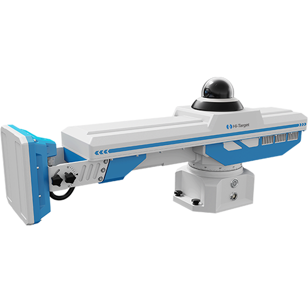


Hi-Target mobile mapping system: HiScan-S which config high accuracy IMU and laser scanner offers high accuracy and high density point cloud data which gives road survey entire support.
From this webinar we would like to share a case how HiScan-S acquires point cloud and images data in a highway. Highway reconstruction needs high absolute accuracy. By experiencing the workflow and result of HiScan-S in this project, you will understand how we use MMS get high accuracy point cloud and apply to road survey and further application.
TOPICS COVERED INCLUDE
Project Overview
1. The background of highway in India
2. The preparation before collection
2. Data collection and processing
3. The result show
Hi-Target mobile mapping system
1. MMS introduction
2. Typical application
3. Core advantages
Speaker: Rick Ma has studied laser scanner technology for years, participated in many big projects that were be carried out by laser scanner.