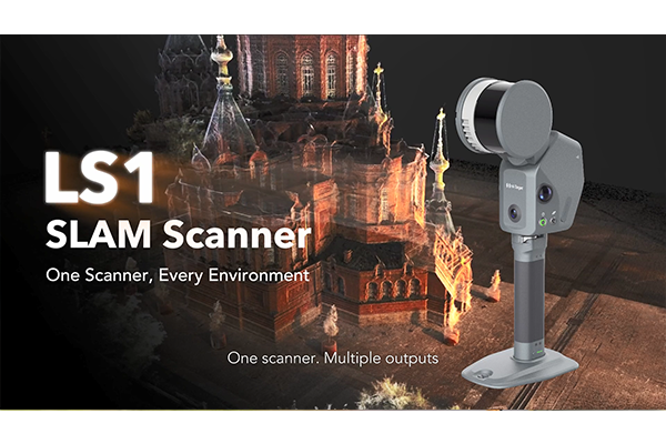
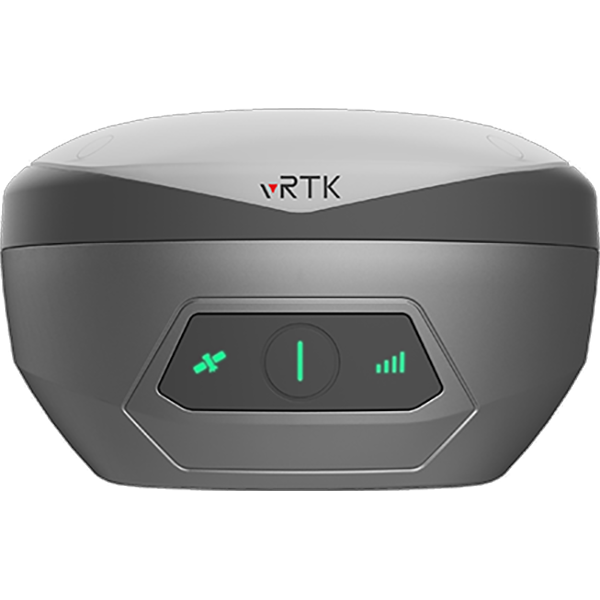
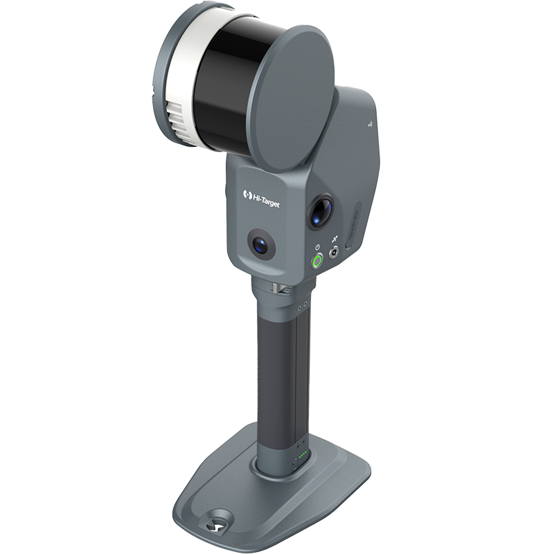


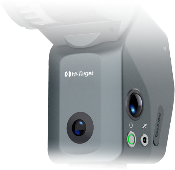
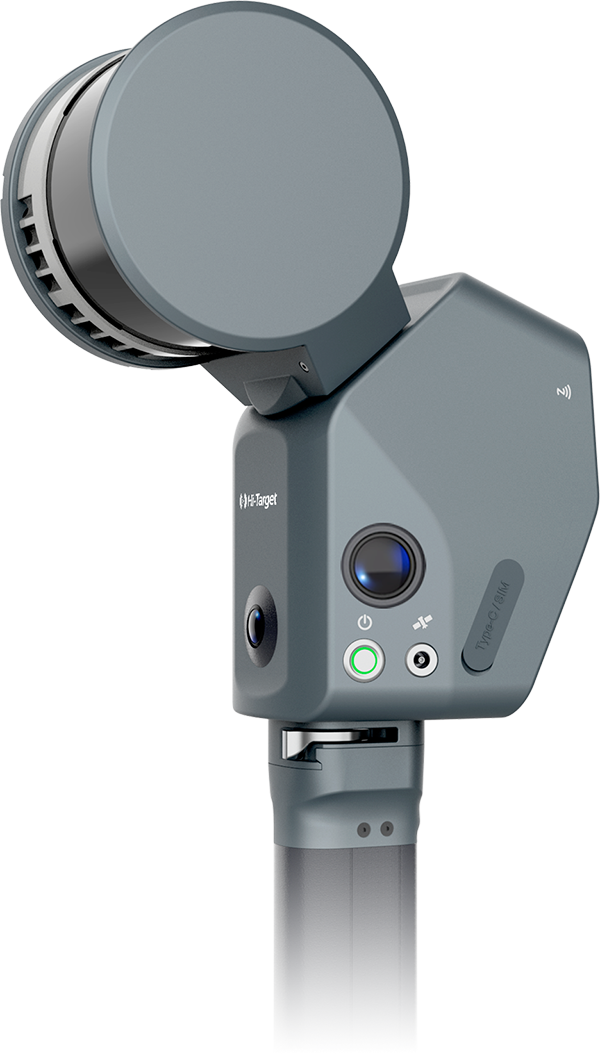
LS1 PRO
SLAM SCANNER
CAPTURE SPACE RECREATE REALITY
Integrated RTK / Real-Time Feedback / Multiple Outputs
LS1 PRO SLAM SCANNER
The Hi-Target LS1 Series is a portable, engineering-grade SLAM laser scanner built for complex real-world environments. Combining LiDAR, vision, RTK positioning, and advanced SLAM algorithms, it delivers reliable accuracy and stable performance for demanding projects. More than a point cloud capture device, the LS1 Series transforms field data into trusted engineering outputs, helping users improve efficiency and achieve greater project value.
SPECIFICATIONS
Key figures
SPECIFICATIONS
640,000 pts/s
Range
Up to 300 m
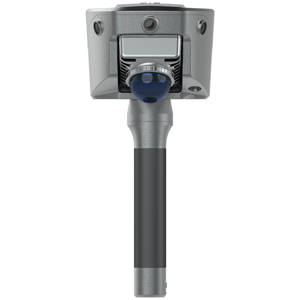
Panoramic camera
48MPX2
Built-in RTK accuracy
2 cm
Panoramic camera
48MP X2
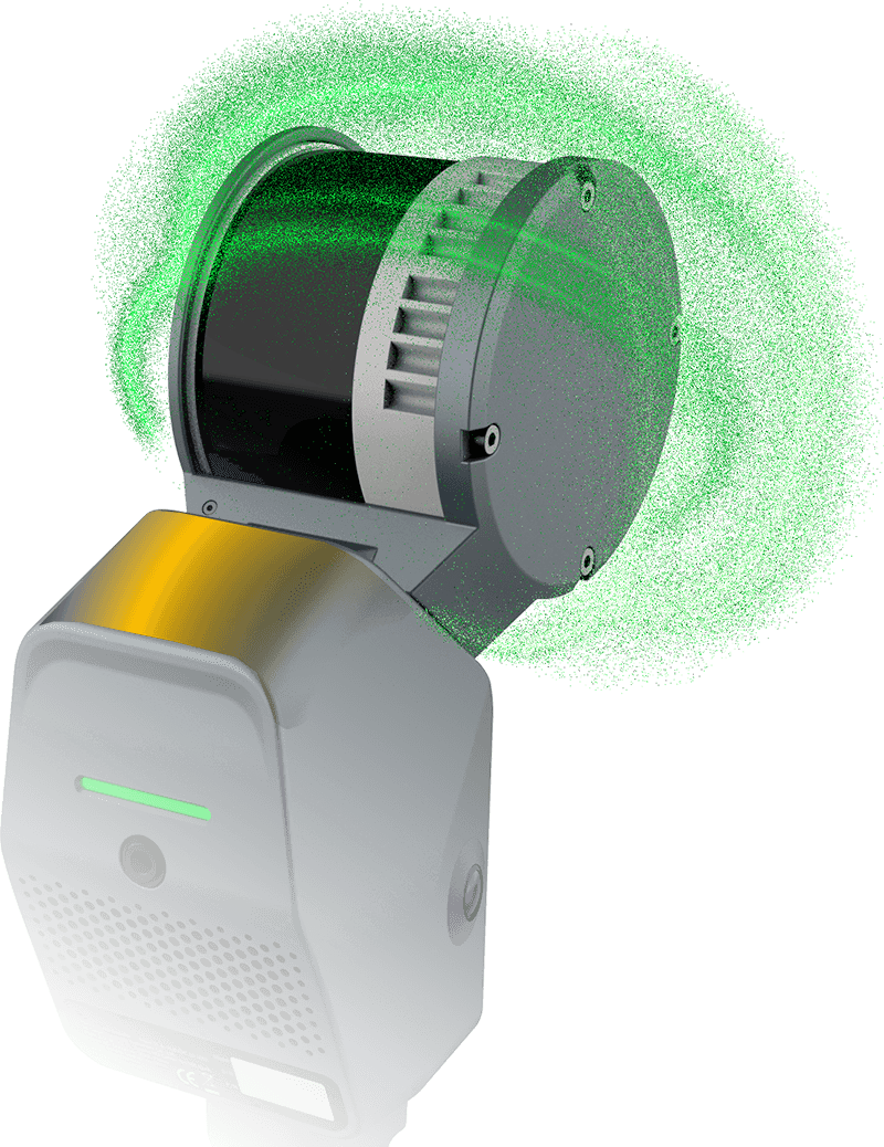
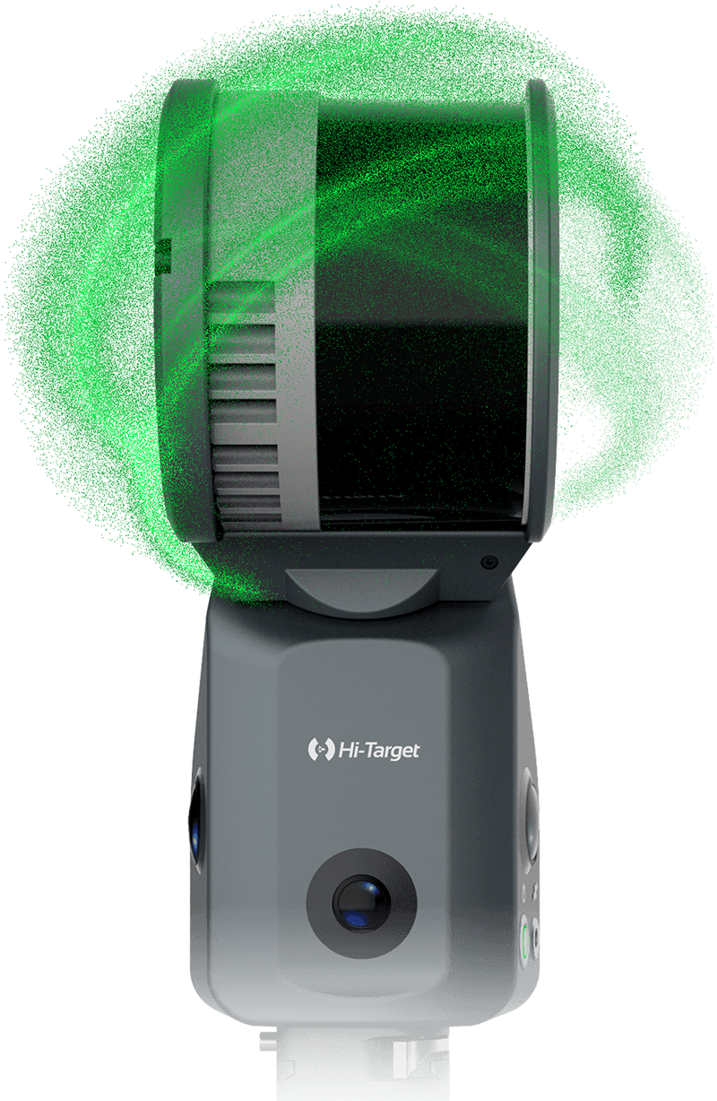
Built-in 48 MP panoramic camera delivers high-definition imagery for realistic point cloud colorization and lifelike scene reconstruction. With support for 3D Gaussian modeling, no external camera is required.
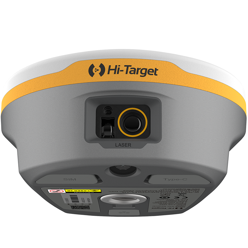
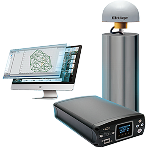
Built-in RTK —— GNSS Antenna
Robust resistance, no add-on bracket or cable
<4cm
Global Accuracy
<1cm
Local Accuracy
LS1 delivers strong local and global accuracy in environments with dense buildings, narrow streets, and signal interference. Combining advanced SLAM algorithms with RTK positioning, it captures reliable point cloud data for demanding real-world projects.
Free-Path Scanning with RTK
Less loop dependency. Greater efficiency. Stable accuracy.
Closed-Loop Path

- Lower efficiency
- Error accumulation


Free Path with RTK

-
Real-time correction
-
Stable global accuracy

LS1 combines RTK positioning with advanced SLAM algorithms to support free-path 3D scanning with less reliance on closed-loop routes.
Real-Time Accuracy Feedback
See data quality at a glance during scanning
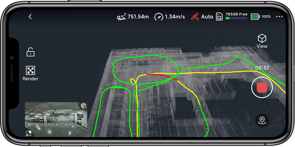
Trajectory Quality Display
Visualize accuracy changes in real time
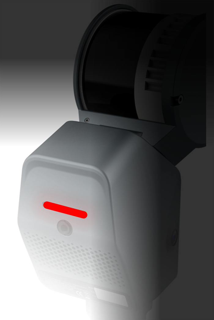
Breathing Light Indicator
Instant on-device status awareness
Seamless Indoor-Outdoor Scanning
One project. One workflow. Multiple environments.
One Continuous Dataset Across Indoor and Outdoor Spaces
Traditional Workflow
- Separate projects for different environments
- Manual mode selection
- More interruptions during scanning
Adaptive Workflow
-
One project across indoor and outdoor scenes
-
No repeated setup
-
Continuous and more efficient scanning
LS1 simplifies multi-environment data capture by enabling seamless scanning across changing environments in a single project.

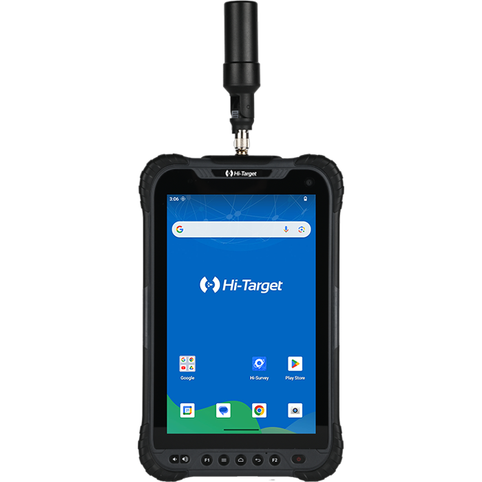
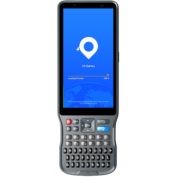
Hi-SLAM APP
Mobile Software
Mobile Control and
Real-Time Data Visualization
Real-Time Data Visualization
& Accuracy Feedback
Available on Android and iOS


Hi-SLAM APP
Real-Time Mobile Tools for Field Operations
Display real-time absolute coordinates
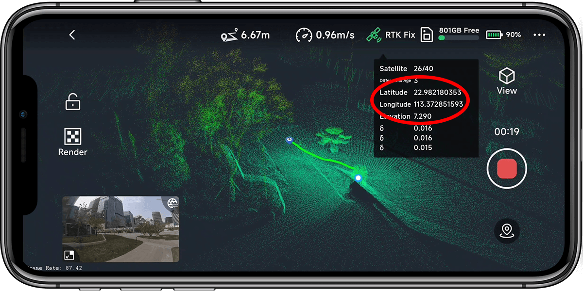
WGS84、Local Coordinates…
Volume Calculation

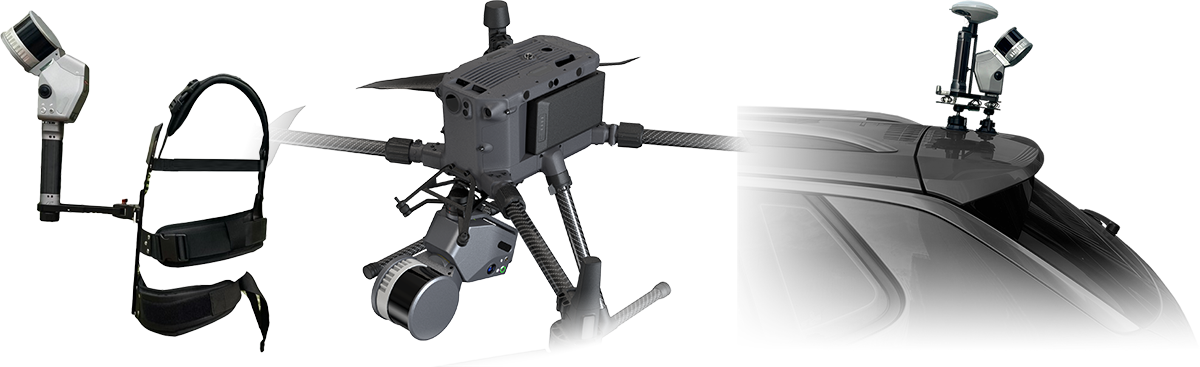
Multiple Platform Operation
One Device. Multiple Scenarios.
- SLAM + RTK + LiDAR + Vision
- Handheld / Backpack / Vehicle / UAV
- Indoor & Outdoor seamless operation
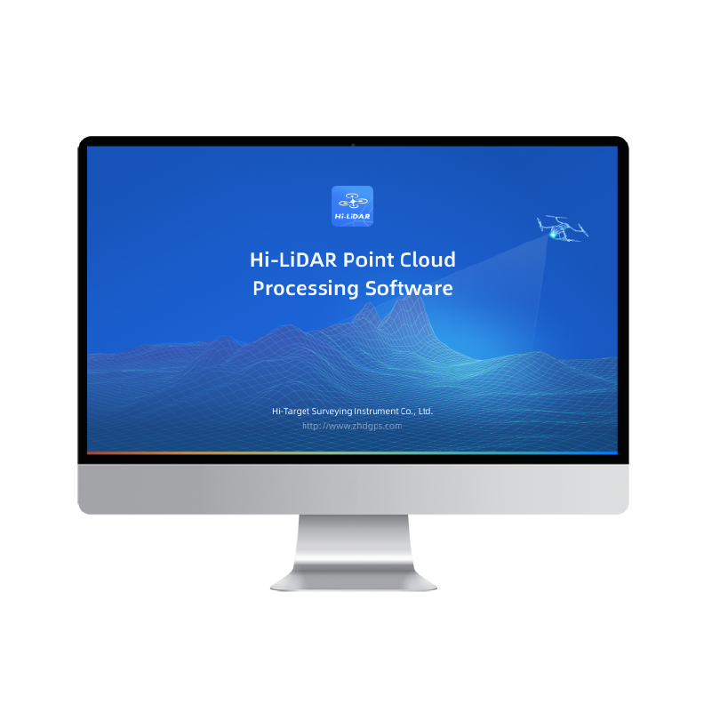
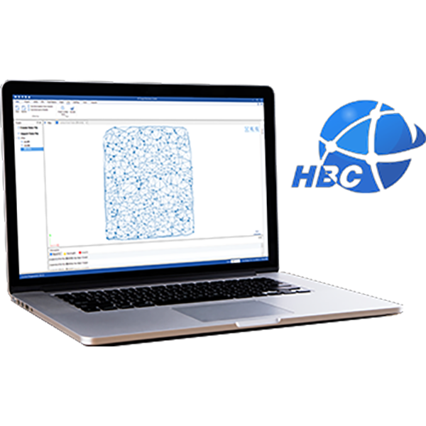
Hi-LiDAR Software Suite
One platform for SLAM processing, architecture, engineering analysis, and 3DGS/MESH output.
SLAM Function
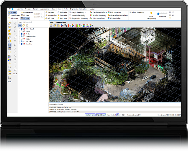
- Wizard-based processing
- Auto filtering and colorization
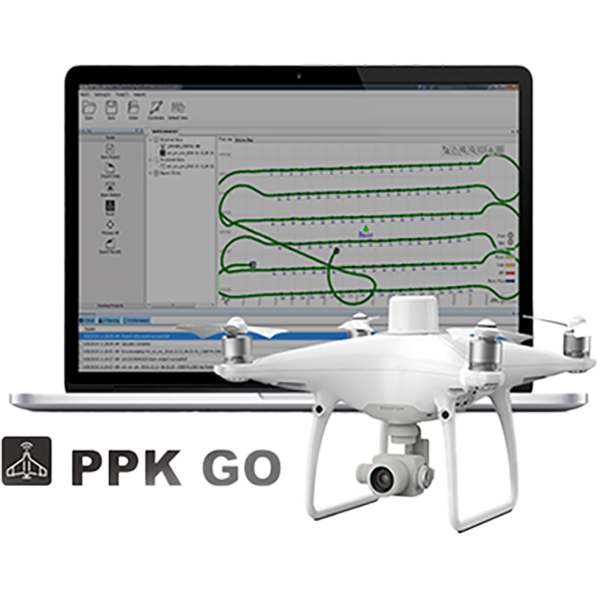
- RTK/PPK geo-referencing
Architecture Module
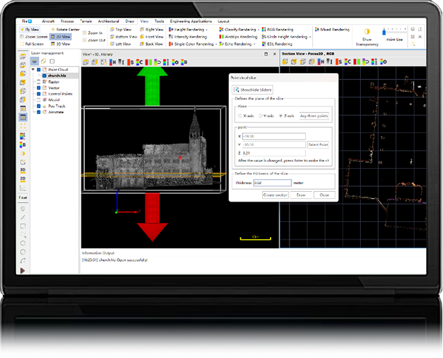
- Building reality capture
- Site analysis and management
- Structured architectural workflows
Engineering Module
- Change monitoring
- Volume calculation
- Safer construction workflows
3DGS/Mesh Module
- One scan, multiple outputs
- Point cloud and mesh
- 3DGS model generation
APPLICATIONS

Building Surveying

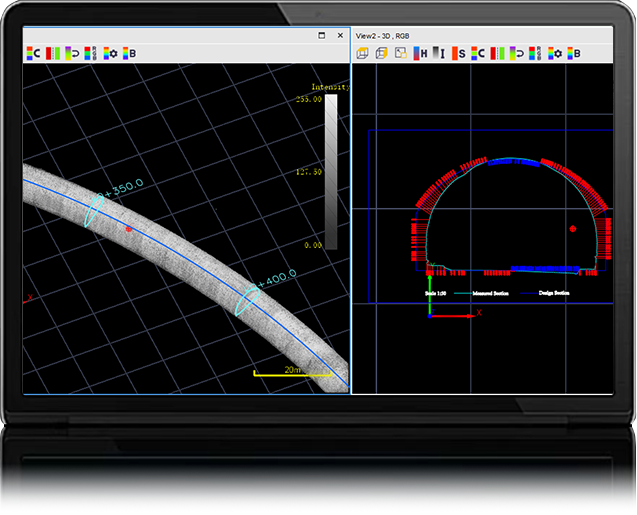
Tunnel Construction

Forestry & Powerline

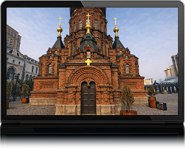
Smart Cultural Tourism
Download Brochures
Quick Start Video