Home
Products
Product Portfolio
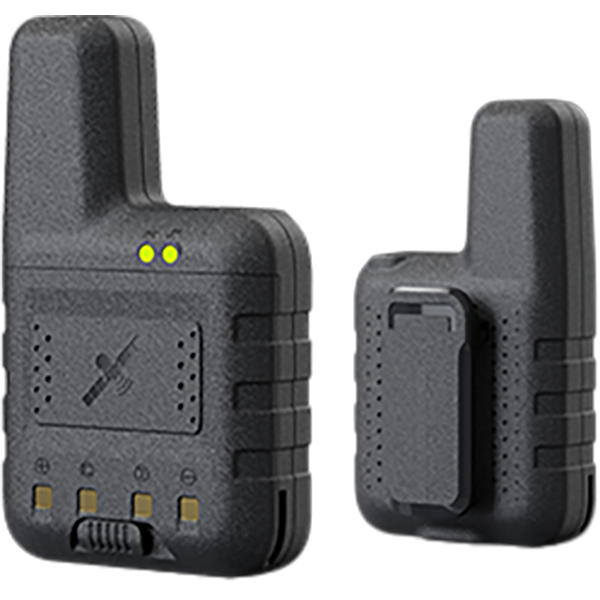
GNSS RTK
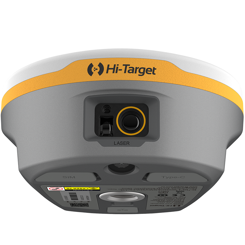
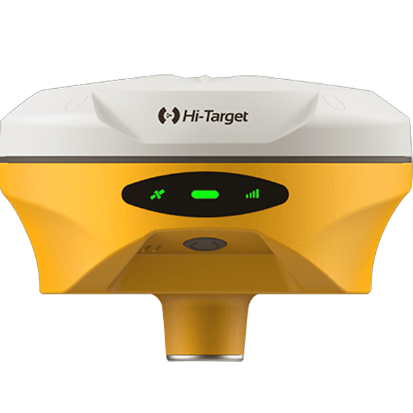
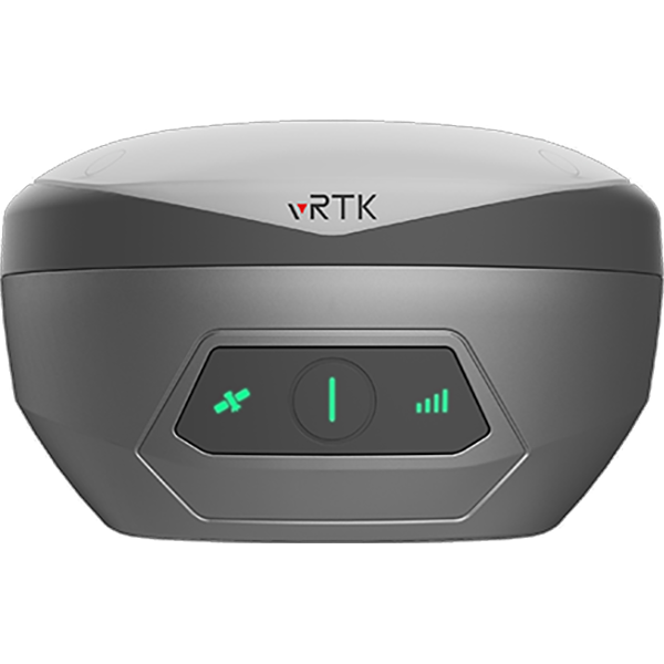
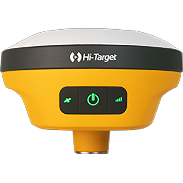
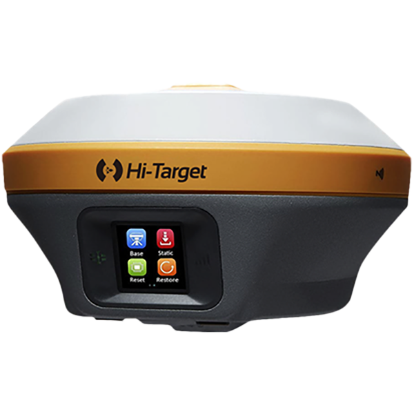
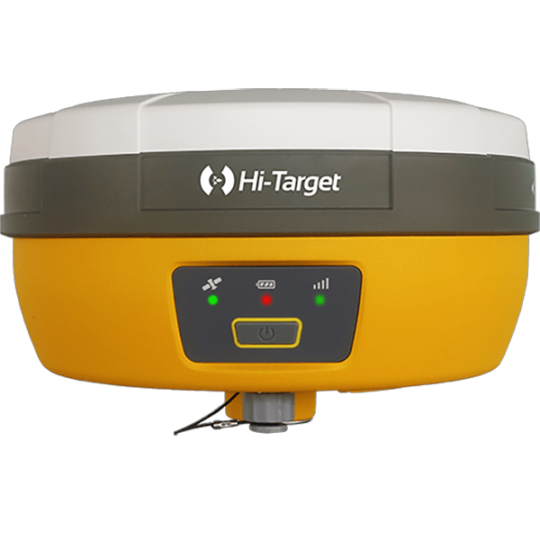
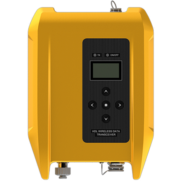
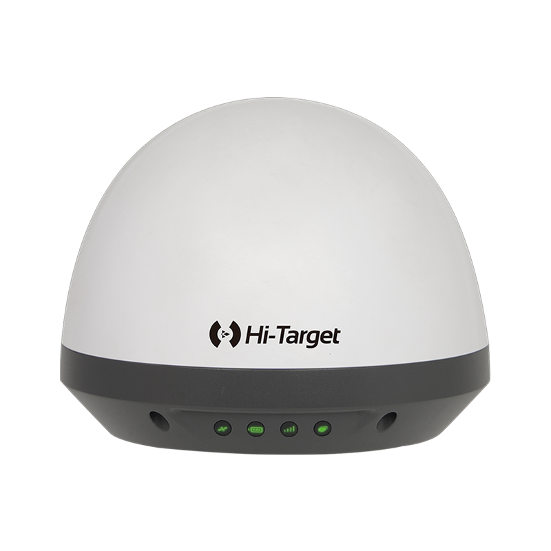
Learn morePositioning may be a satellite navigation technique wont to enhance the precision of position data derived from satellite-based positioning systems (global navigation satellite systems, GNSS) like GPS, GLONASS, Galileo and BeiDou.
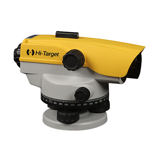
Optical
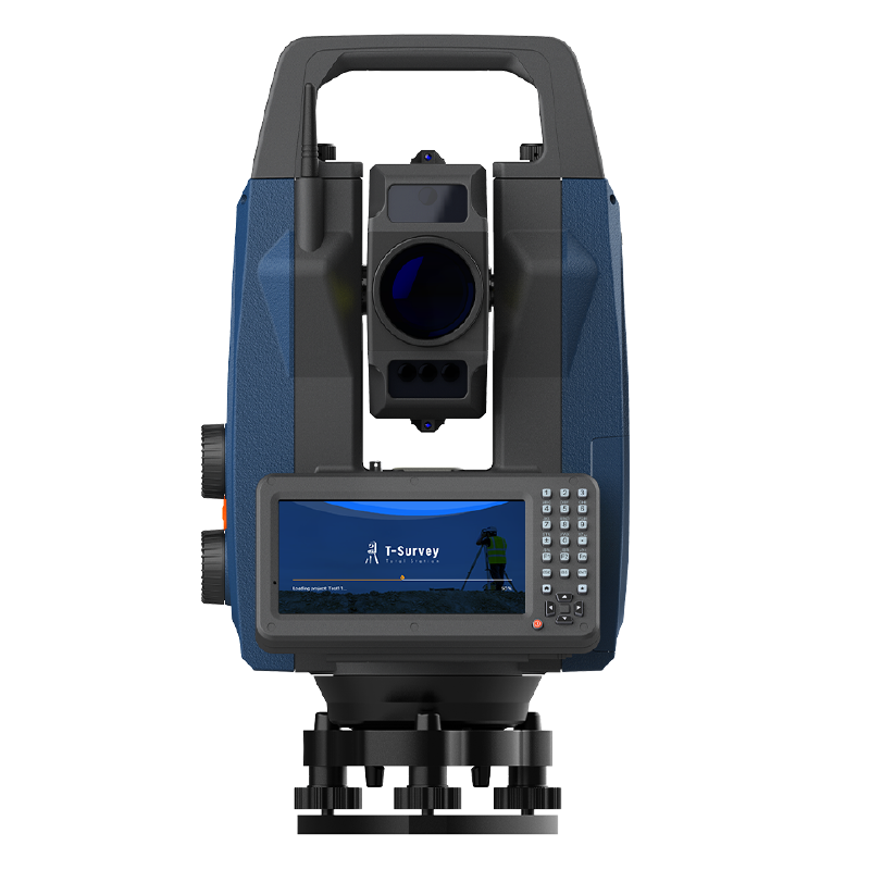
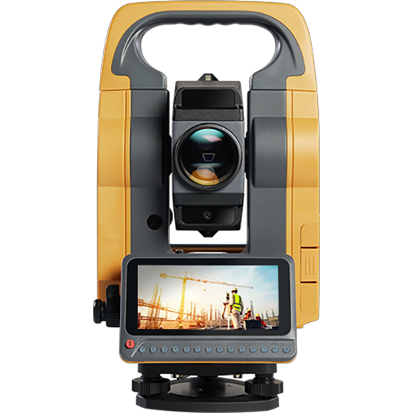
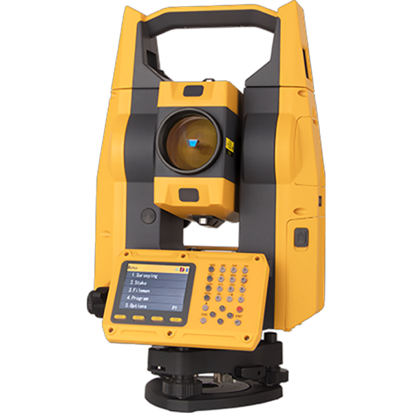
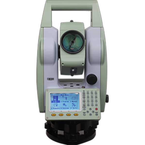
Learn moreEngineered for precision and trusted by professionals, Hi-Target Total Stations deliver unwavering stability and an effortlessly intuitive interface—shaping a new surveying experience.
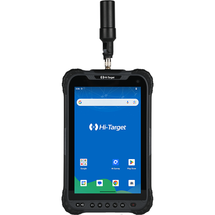
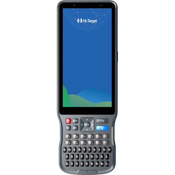
GlS Handheld & Tablet
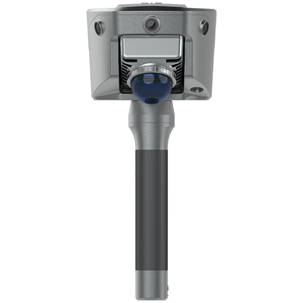
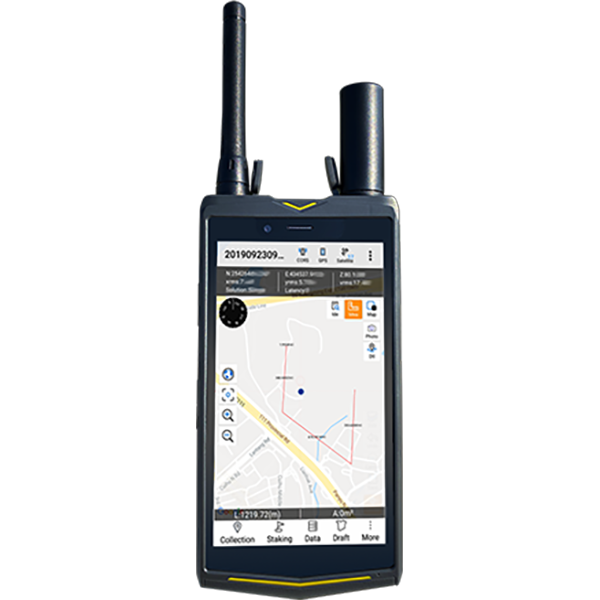
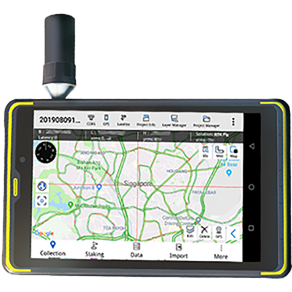
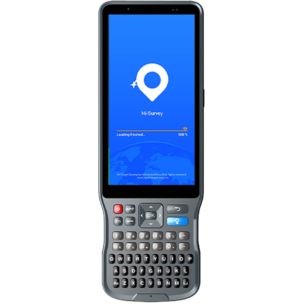
Learn moreHi-Target GIS solutions combine robust, field-ready design with effortless operation, empowering professionals to capture and manage geospatial data with confidence.
Precision Agriculture
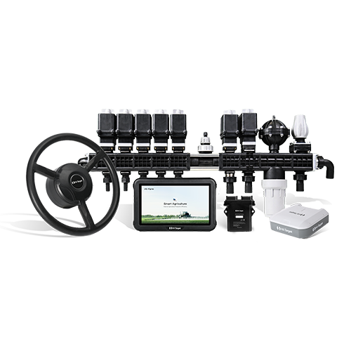
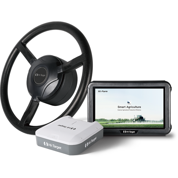
Learn morePowered by centimeter-level GNSS positioning and smart control, Hi-Target’s solutions make farm machinery work smarter, faster, and more precisely—bringing efficiency and digital intelligence to every field.
Hydrography & Oceanography
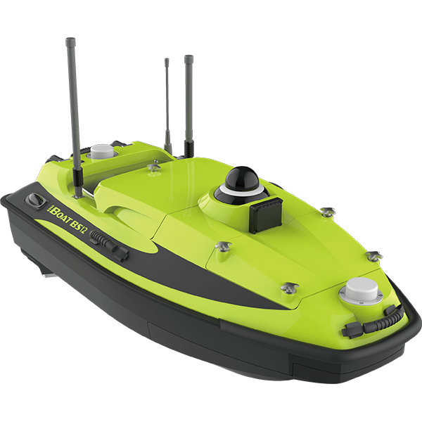
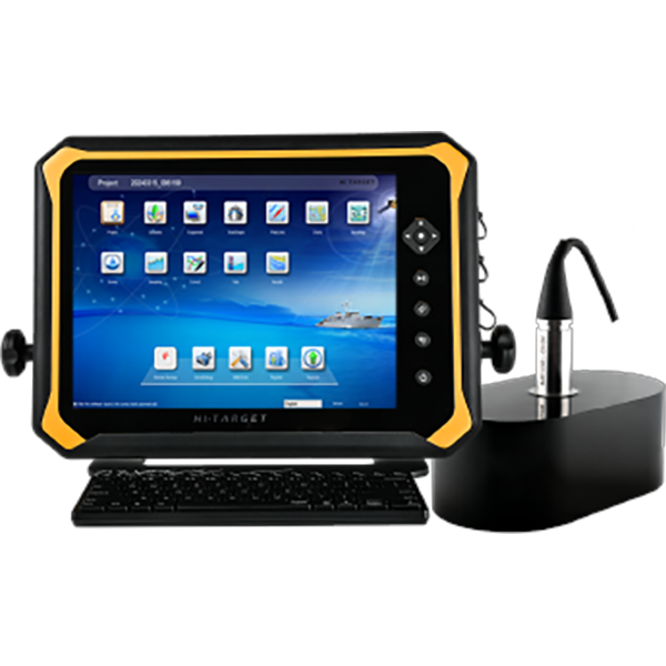
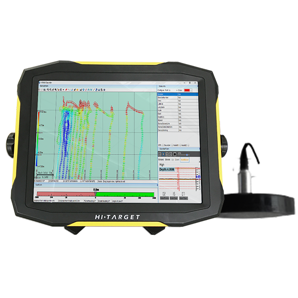
Learn moreHi-Target's Hydrography & Oceanography solutions deliver precise, efficient surveying across rivers, lakes, and reservoirs. From single-beam systems to advanced dual-frequency echo sounders and intelligent USVs, they provide safe, reliable data for navigation, environmental monitoring, and water resource management.
Monitoring
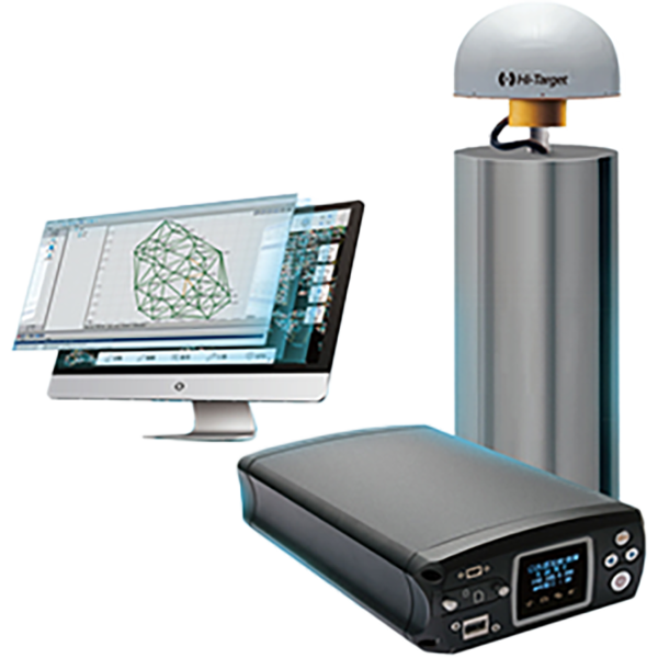
Learn moreHi-Target's Monitoring solutions deliver real-time, intelligent data for infrastructure and environmental safety. GNSS and InSAR systems enable continuous monitoring of buildings, bridges, dams, and slopes, supporting early warnings and ensuring stability in diverse terrains.
CORS & Precise Positioning
Learn moreHi-Target delivers high-precision GNSS correction services worldwide, supporting land surveying, maritime transport, autonomous driving, earthquake monitoring, smart agriculture, and other challenging environments.
Software
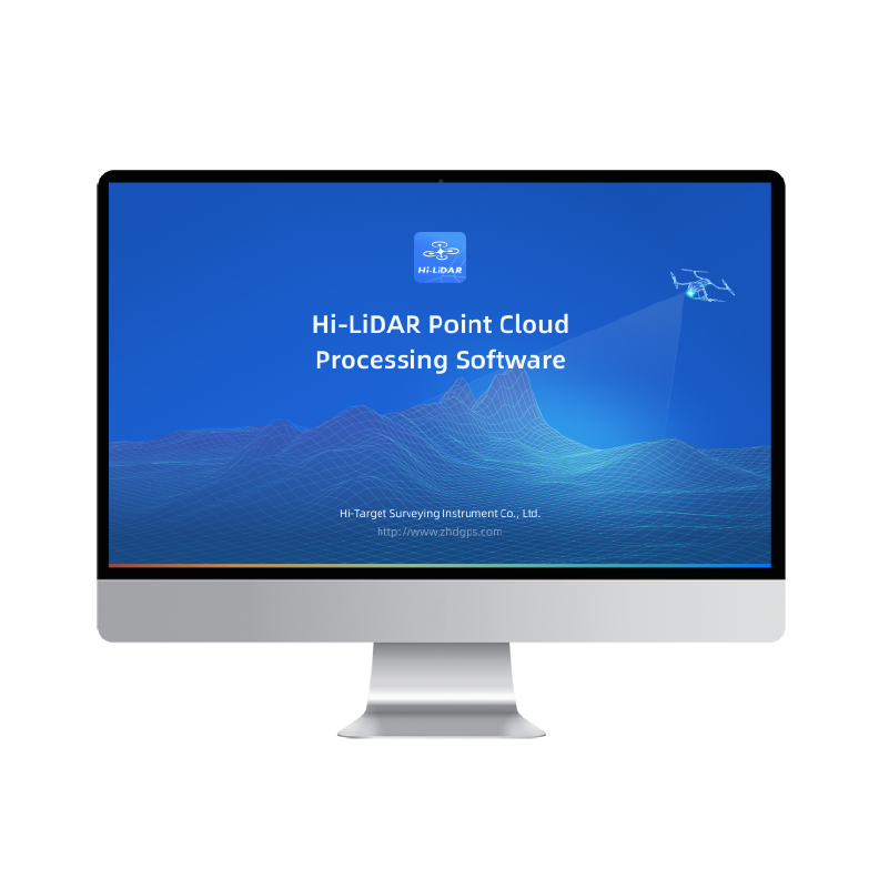
Learn moreHi-Target offers dedicated, feature-rich software solutions designed for seamless compatibility. From efficient field data collection to powerful post-processing, this user-friendly software meets the full spectrum of surveying and data processing needs.
