


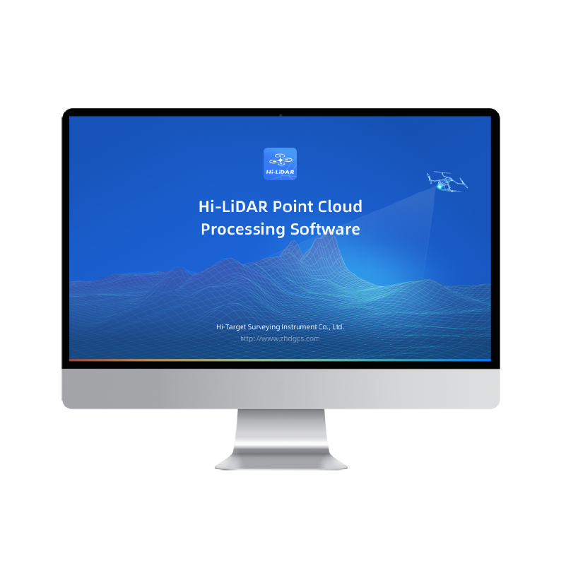


In this video, we walk through the full 3D mesh reconstruction process step by step—from importing data to creating a point cloud, 3D mesh in a single process.
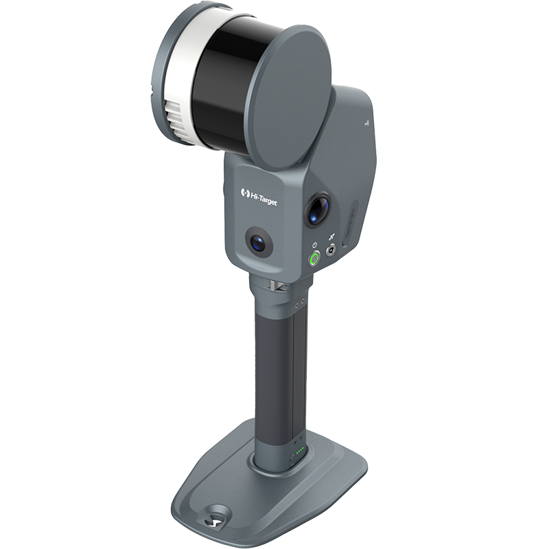
from importing data to final output—showing how Hi-LiDAR enables efficient and accurate results for professional applications.
🔍 In this tutorial, you will learn:
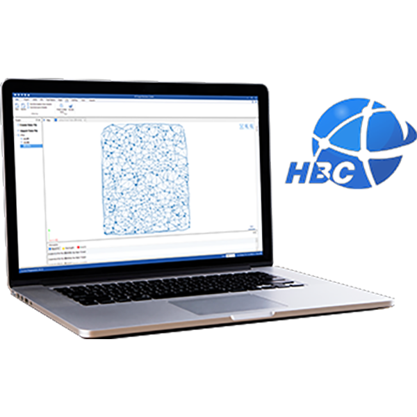
How LiDAR data is processed into point clouds
Key steps in 3D mesh reconstruction workflow
Techniques for improving efficiency and accuracy
Real-world 3D reconstruction results
This workflow is ideal for applications such as engineering surveying, digital twins, and 3D mobile mapping.
👉 Don’t forget to like, subscribe, and share if you find this helpful!