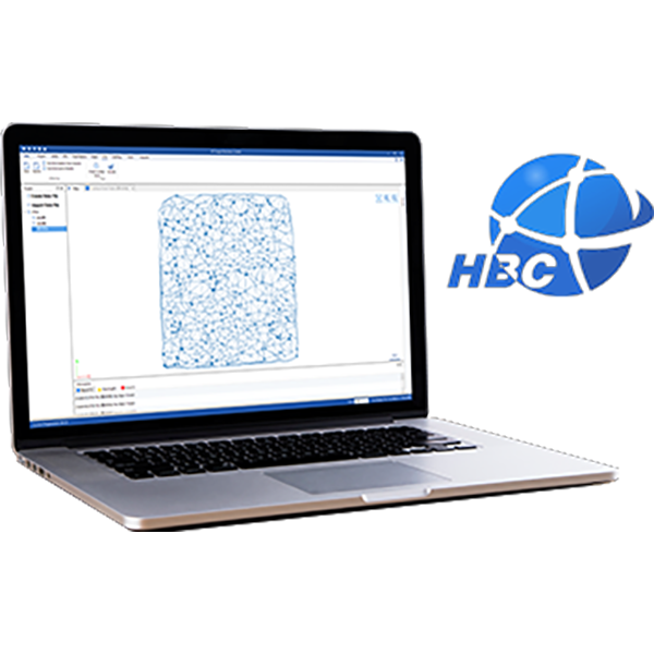
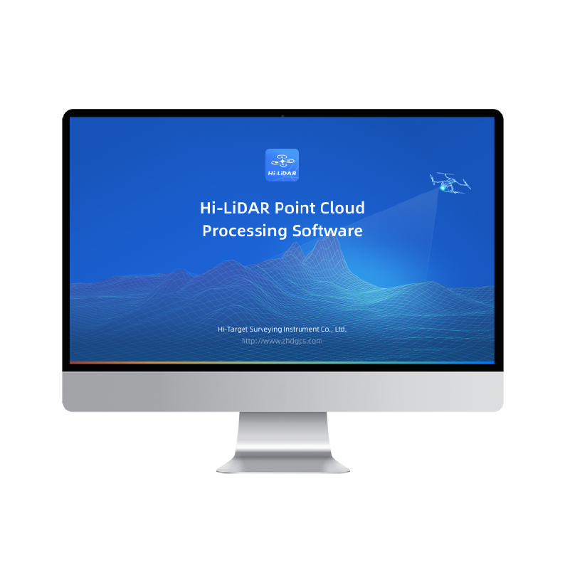



Process point clouds with greater speed, precision, and confidence. The latest Hi-LiDAR update introduces powerful new capabilities and performance enhancements designed to streamline your 3D data processing workflow.
What’s New in V4.2.1?
📦 Enclosed Space Volume Calculation Easily calculate volumes inside tunnels, silos, tanks, pipelines, chambers, and other enclosed or irregular environments with greater efficiency.
🎯 Enhanced SLAM Point Cloud Accuracy Achieve more consistent and reliable point cloud results for demanding mapping projects.
🌍 Optimized Ground Classification Improve terrain extraction and classification for surveying, construction, mining, and engineering applications.
⚡ Faster Visualization & Smoother Performance Experience improved rendering and a more responsive interface when working with large-scale point cloud datasets.
🖱️ Quicker Point Selection Edit, inspect, and analyze point clouds more efficiently with optimized point selection tools.
🔧 Bug Fixes & Stability Improvements
Enjoy a more reliable and seamless processing experience. From data acquisition to final deliverables, Hi-LiDAR V4.2.1 helps you work smarter with powerful tools built for real-world surveying and 3D mapping projects.
🎥 Watch the video to see the new Enclosed Space Volume Calculation feature in action.#HiTarget #HiLiDAR #PointCloud #LiDAR #3DMapping #Surveying #Geomatics #LaserScanning #DigitalTwin #Mining #Construction #Engineering