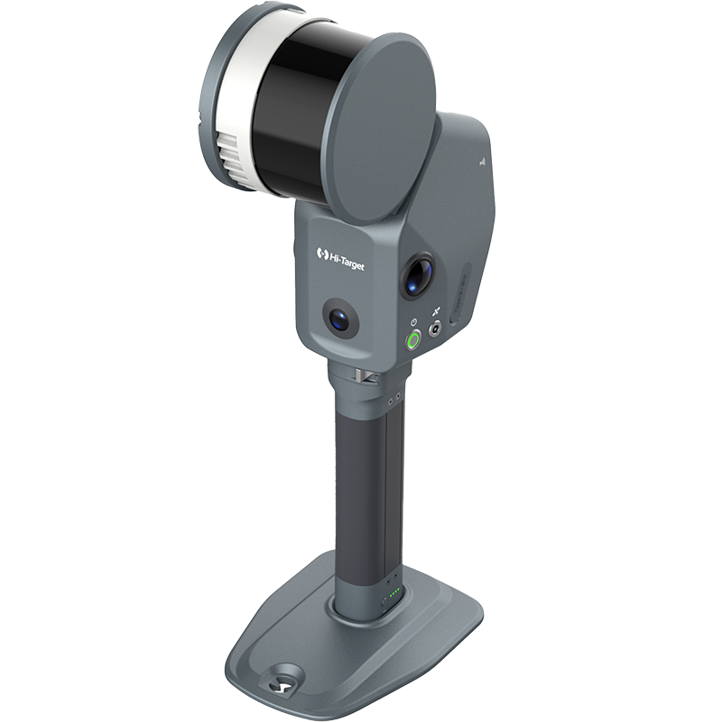
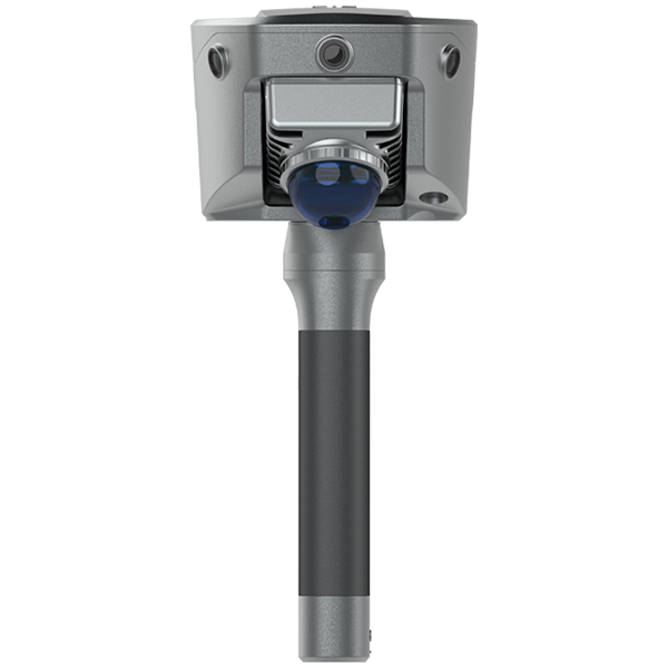



Discover how the LS1 PRO combines airborne and handheld SLAM scanning to deliver complete 3D data for powerline inspection and utility asset management.
In this project, airborne scanning rapidly captures transmission corridors, towers, conductors, and surrounding terrain, while handheld scanning provides detailed ground-level information for utility poles, tower structures, and critical infrastructure.
By merging aerial and terrestrial point clouds into a single dataset, utility operators can gain a comprehensive understanding of their assets and surrounding environments.
🚁 Rapid airborne corridor mapping
🚶 Detailed handheld asset inspection
📍 High-density 3D point cloud generation
🌳 Vegetation encroachment analysis
🏗 Digital twin creation for utility infrastructure
⚡ Smarter maintenance and asset management
Whether for transmission lines, distribution networks, or utility corridor monitoring, the LS1 PRO delivers an efficient reality-capture solution from the sky to the ground. Learn more about LS1 PRO and advanced SLAM mapping solutions from Hi-Target.