




Public CORS networks can become unstable or unavailable in remote mountains, rural areas, and GNSS-challenged environments.
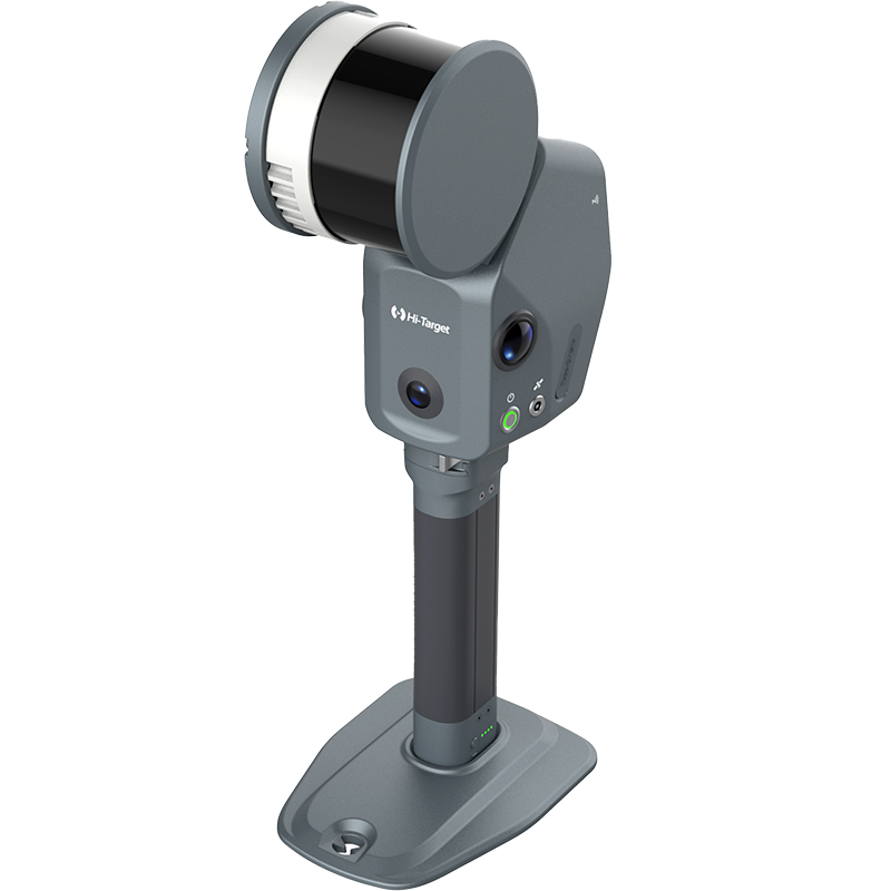
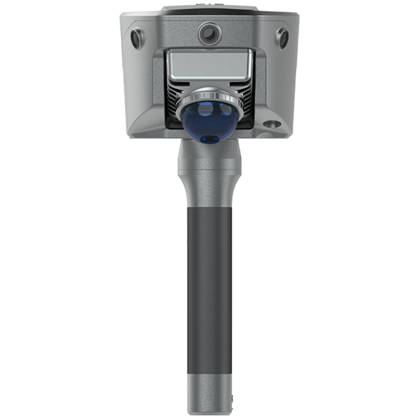
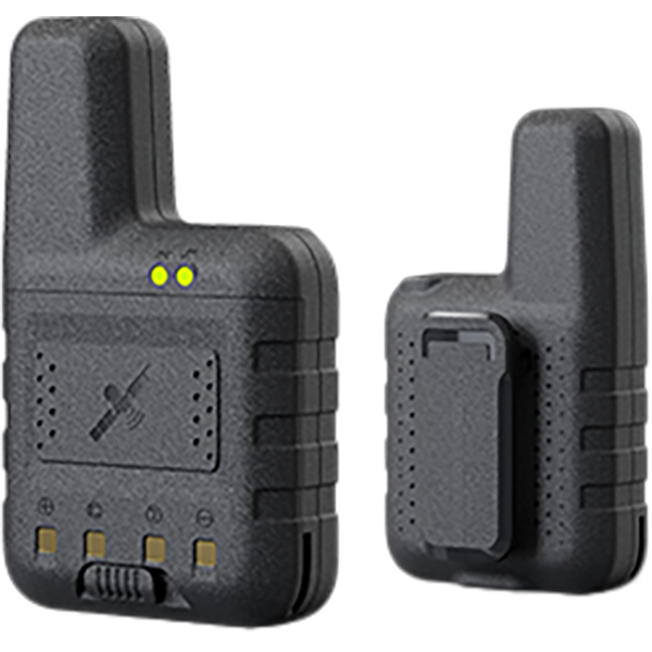
The Hi-Target V600L Laser RTK provides a reliable alternative by supporting a self-built GSM base station workflow. Surveyors can create their own differential correction source and maintain stable RTK positioning without relying entirely on public CORS services.
In this tutorial, we demonstrate how to set up a GSM base station and rover connection with the V600L Laser RTK.
Workflow:
🔹 Base Station Setup:
- Go to Base → Base Setting → Data Link
- Select Internal GSM
- Choose Server: CORS
- Enter CORS information
- The mountpoint is automatically generated using the Base SN (Serial Number)
🔹 Rover Setup:
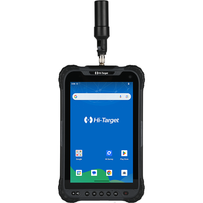
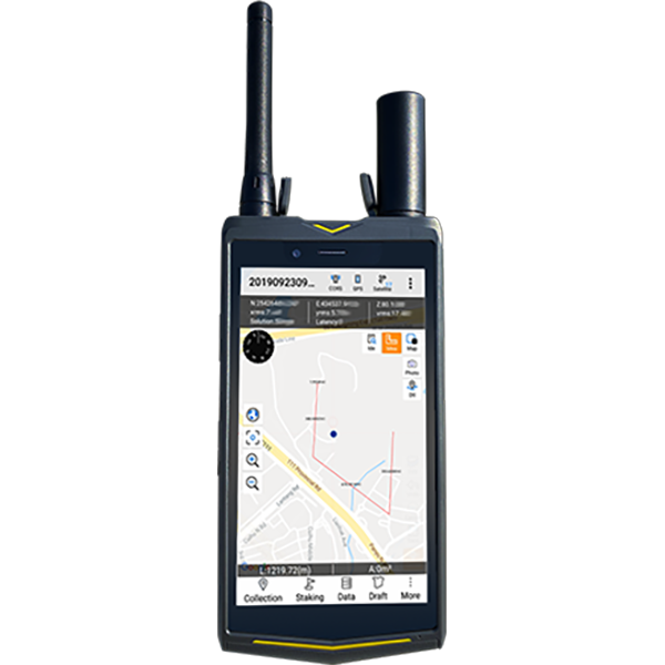
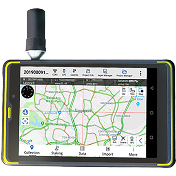
- Connect the rover via Wi-Fi
- The mountpoint and username will automatically populate
- Change the rover username to make it different from the mountpoint
- Click Set and wait for RTK Fix
With V600L Laser RTK, survey professionals can achieve flexible GNSS RTK positioning in challenging environments, including mountains, remote construction sites, and areas with limited CORS coverage.
Key Features:
✅ Self-built GSM RTK Base Station
✅ Reliable RTK correction source
✅ Laser measurement for hard-to-reach points
✅ Advanced IMU tilt surveying
✅ Centimeter-level GNSS positioning
✅ Ideal for construction surveying, engineering measurement, and topographic surveys
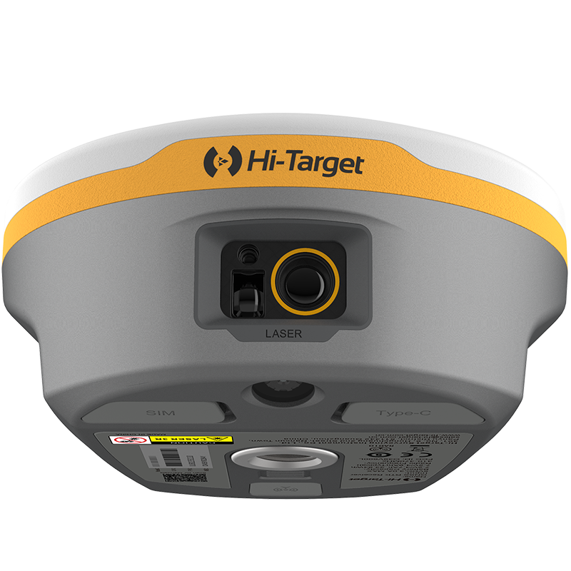
Learn more about Hi-Target V600L Laser RTK and advanced GNSS surveying solutions.
HiTarget #V600L #LaserRTK #GNSSRTK #RTKBaseStation #CORS #Surveying #LandSurveying #ConstructionSurvey #GNSS