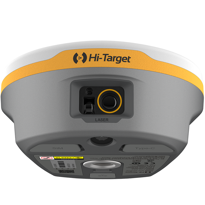
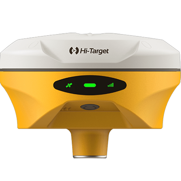
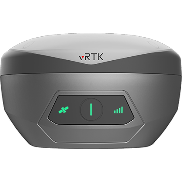
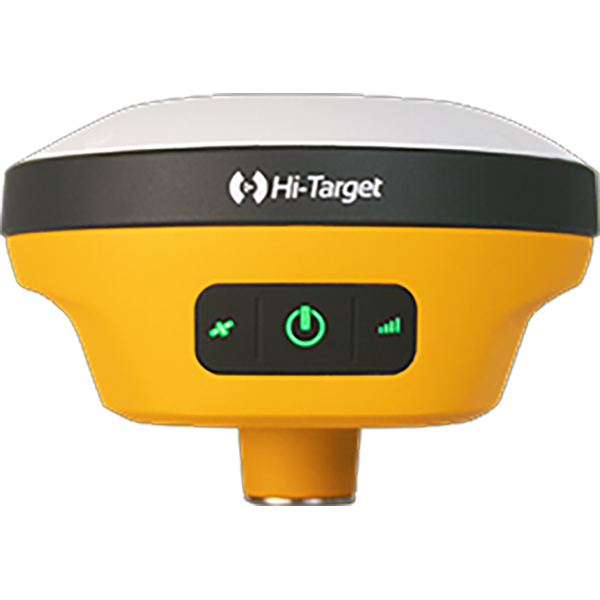
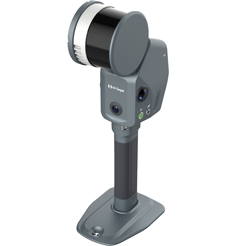

Take surveying beyond physical limits with the next generation of
Laser RTK
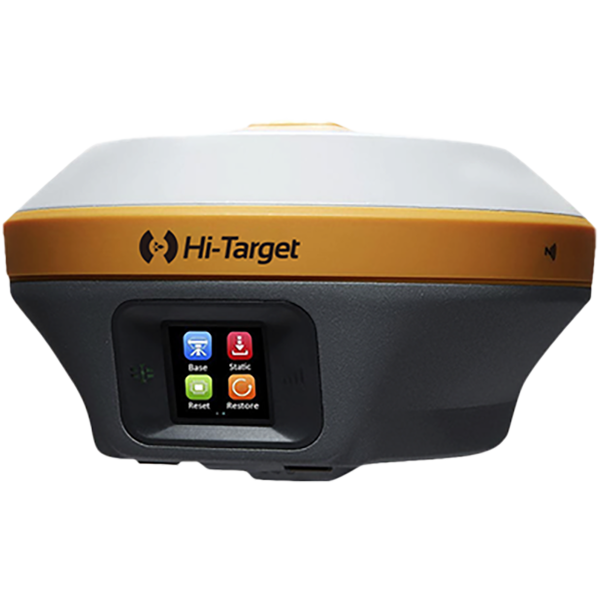
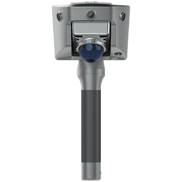
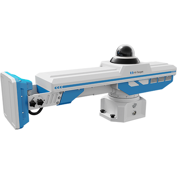
technology. Capture precise, non-contact measurements using a survey-grade laser, visual targeting, and an advanced IMU. From bridge undersides and fenced areas to ditch edges and GNSS-challenged environments, the V600L makes hard-to-reach points easier, safer, and faster to measure.✨ What’s New?
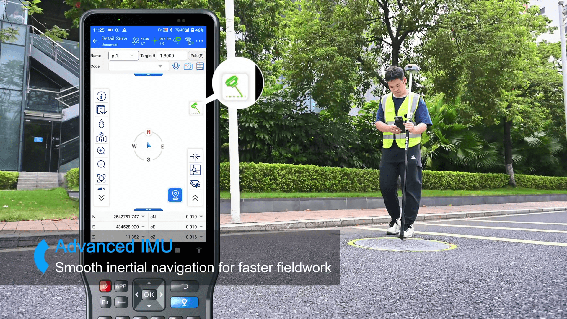
🎯 Advanced IMU — No Initialization Needed
Power on and start measuring instantly. The upgraded IMU delivers up to 40% better stability and accuracy, ensuring reliable performance even on rough terrain and in demanding field conditions.
📐 NEW CAD 3D Real-Scene Staking
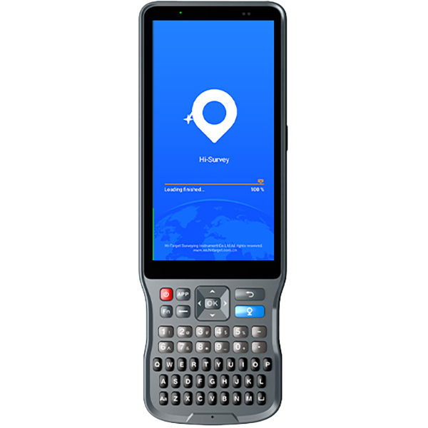
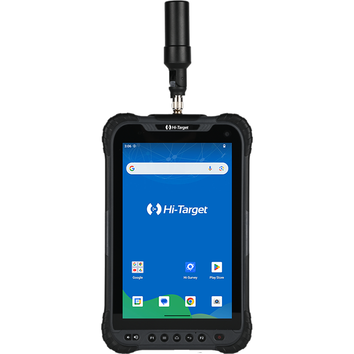
Bring your design into the real world. Overlay CAD models directly onto the live camera view to visualize alignments, boundaries, and stakeout points in true 3D. No more switching between drawings and the job site—stake with greater speed and confidence.
📡 Built for Every Job Site
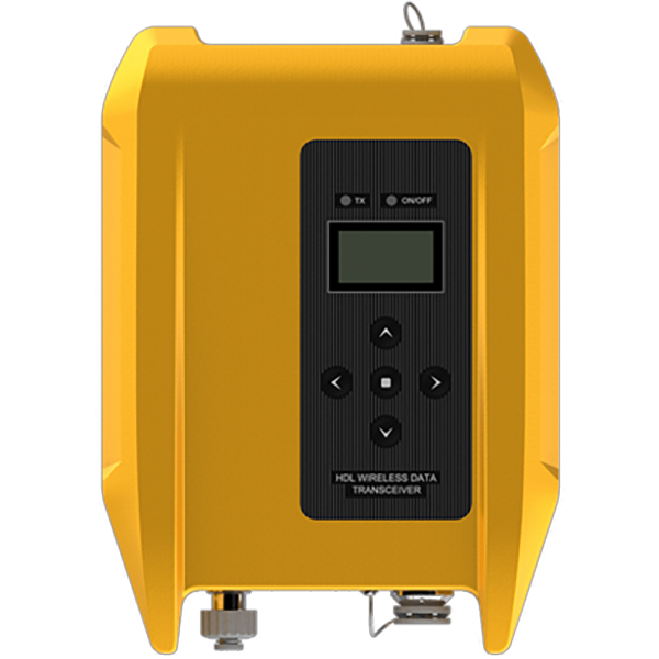
With a built-in 15 km LoRa radio and up to 2 cm laser measurement accuracy, the upgraded V600L keeps you connected and productive, delivering dependable performance wherever your projects take you. See Further. Stake Smarter.
#HiTarget #V600L #LaserRTK #Surveying #Geomatics #LandSurveying #ConstructionSurvey #SurveyEquipment #GNSS #3DStakeout #CADStakeout #LaserMeasurement #FieldEfficiency