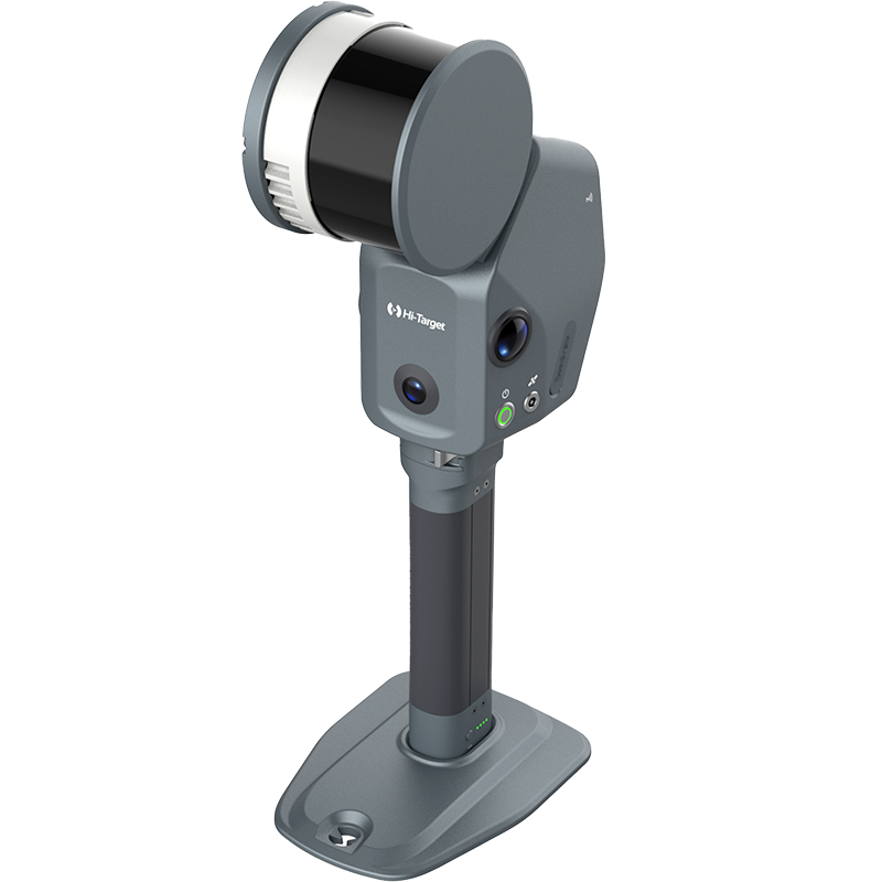


With the V700S SLAM RTK, capturing stockpile data is no longer time-consuming or complex. Simply walk the site and let SLAM technology handle real-time mapping — no GNSS dependency, no interruptions. From field to result in minutes:
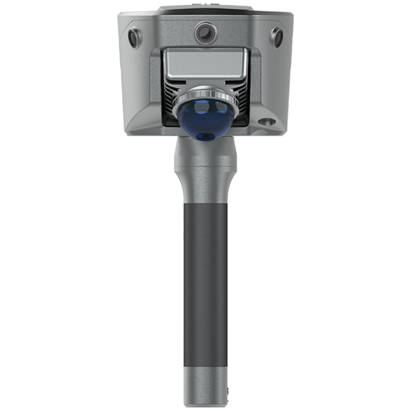
🔹 Rapid data capture with true handheld mobility
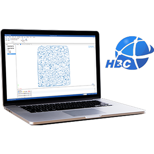
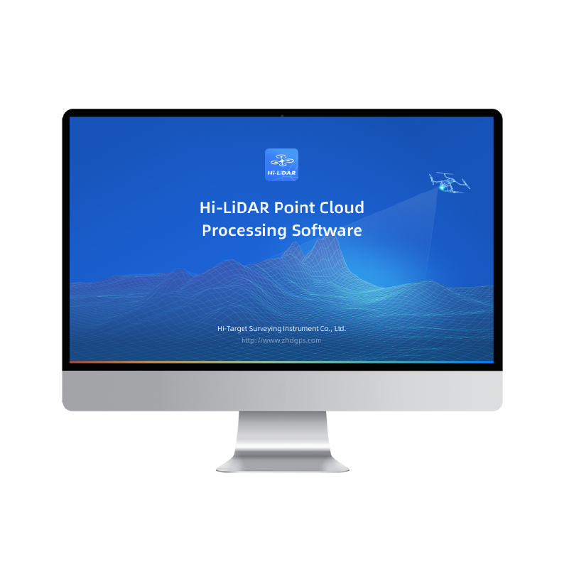
🔹 High-density point cloud for detailed analysis
🔹 Precise volume calculation for stockpiles
🔹 Intuitive 3D visualization for reporting and validation
The result? A complete, survey-grade stockpile report delivered with speed and reliability — enabling better material tracking, improved operational efficiency, and more informed decision-making on site.