


CLICK HERE TO DOWNLOAD THIS CASE STUDY
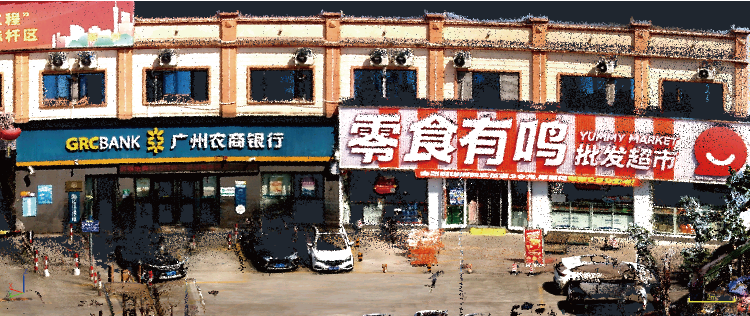
In an urban renewal project in Guangzhou, the client needed to survey and model street facade buildings to support renovation design and cost estimation. The complex facade structures and dense urban environment made traditional surveying methods inefficient and difficult to meet accuracy requirements.
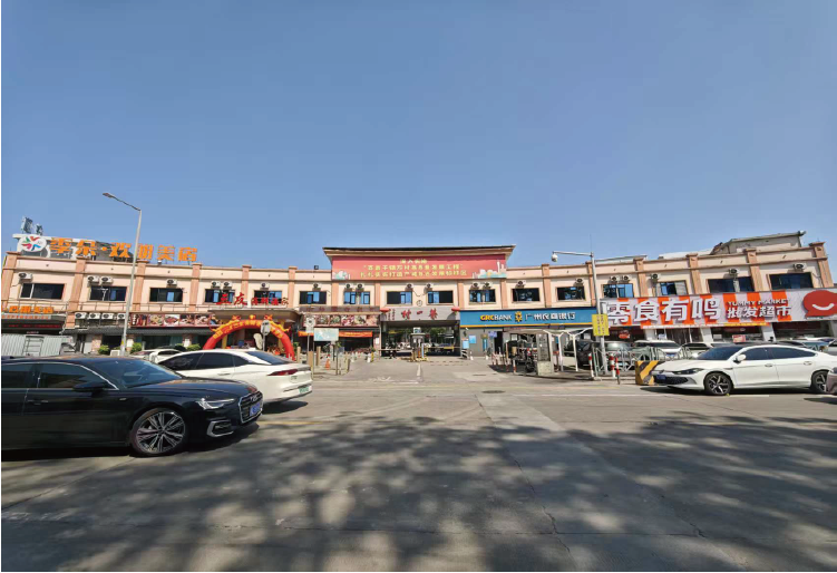
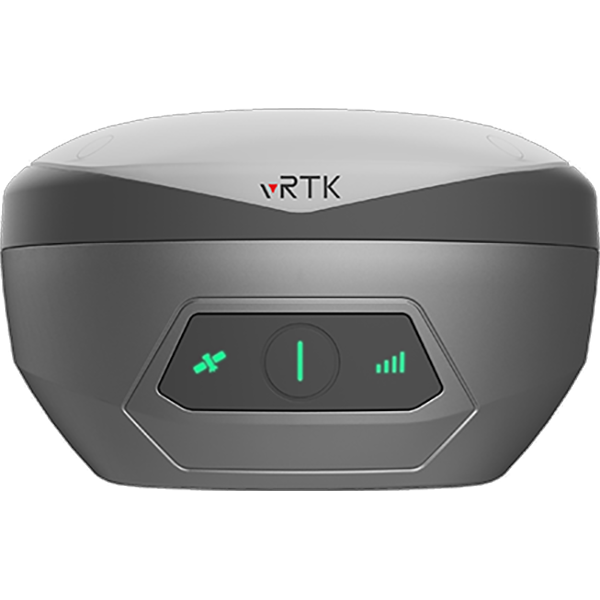
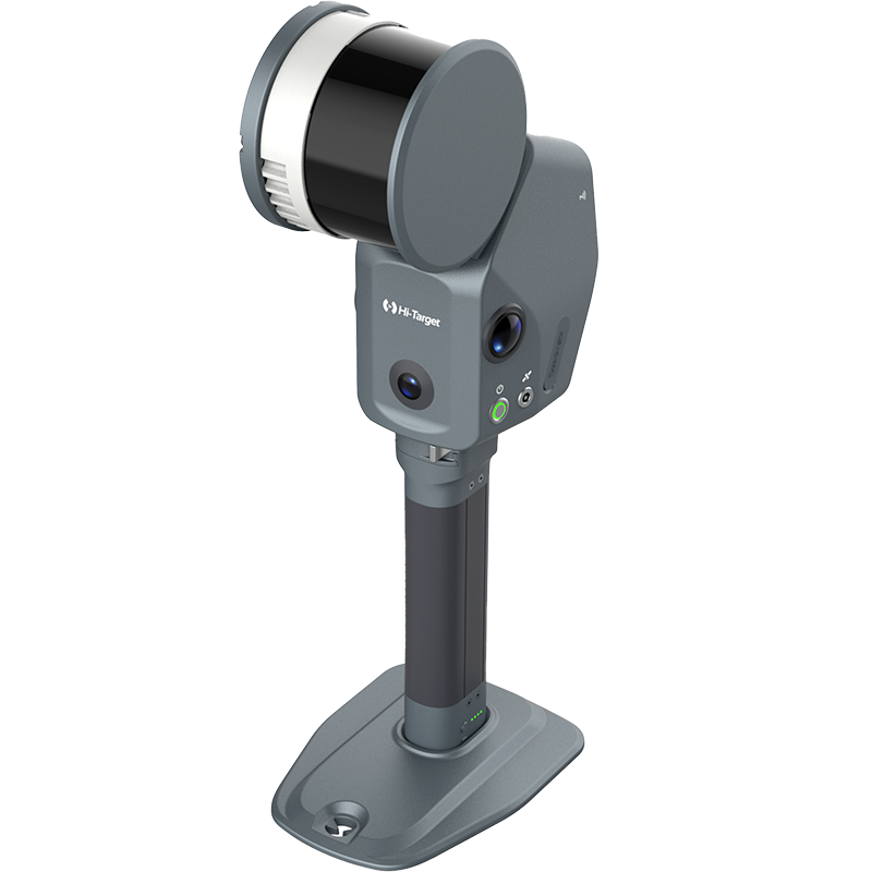
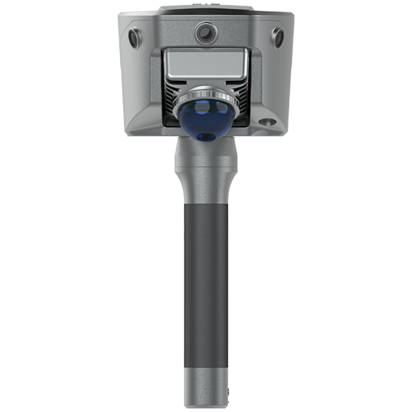
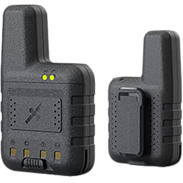
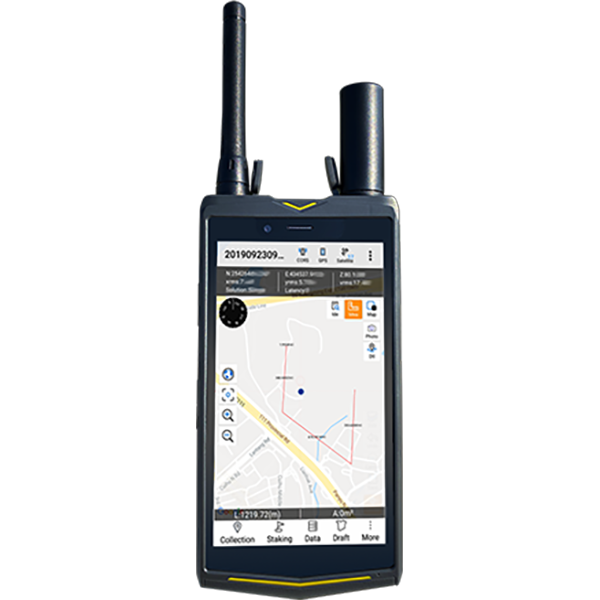
To address these challenges, the project adopted the V700S SLAM RTK to efficiently capture accurate, colorized 3D facade data and generate CAD-ready deliverables.
Pain point analysis
● Limitations of competitor – Previous trials with XGRIDS L2 showed good colorization but generated massive datasets (1 GB per minute), making post-processing difficult on standard PCs.
● Operational constraints – Client needed reliable measurements in no-signal or weak-signal environments, which pure SLAM systems cannot provide.
● Field challenges – Complex building attachments and overhanging eaves caused vertical occlusion, increasing risk of missing data.
Workflow
1.Scanning Approach – Used Hi-Target V700S SLAM RTK for full 3D scanning, ensuring complete coverage without data voids.
2.Route Design – Adopted a zigzag path along building orientation to minimize occlusion from roof eaves.
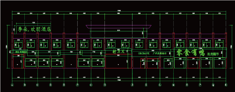
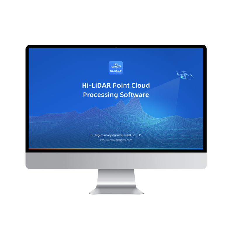
3.Data Processing –Slicing and leveling performed in Hi-LiDAR software.
4.Colorized point cloud exported to CAD for detailed facade drawings.
5.Data Management – Optimized file sizes for efficient storage and processing, avoiding the heavy
datasets common with other systems.
Result
● True-to-scale 1:1 3D point cloud captured quickly and accurately, eliminating the need for revisits.
● Clear, high-quality colorization met architectural survey requirements, with precise edges and attachment details.
● Multi-mode visualization improved indoor processing efficiency and interpretation of spatial relationships.
● Reliable operation in GNSS-denied environments expanded applicability to diverse surveying tasks