

Capturing an entire building in 3D requires more than collecting individual measurements. Surveyors must navigate indoor and outdoor environments, work in areas with limited GNSS signals, capture complex architectural geometry, and transform raw spatial data into usable engineering deliverables.
In a real-world project conducted by Hi-Target partner ScanKraft3D, the Hi-Target LS1 handheld SLAM scanner was used to capture a building’s interior and exterior. The project demonstrates how mobile mapping technology supports efficient reality capture, building surveying, and 3D point cloud processing.
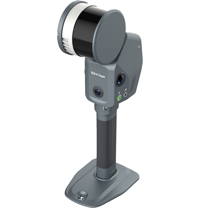
The Hi-Target LS1 PRO SLAM Scanner builds on this integrated approach, combining LiDAR, SLAM, vision, and RTK positioning for professional 3D mapping applications across surveying, architecture, engineering, and construction (AEC).
The Challenge: Indoor and Outdoor Building Scanning
Building surveying often involves complex environments, from enclosed rooms and narrow corridors to building façades and surrounding outdoor spaces.
Traditional terrestrial laser scanning workflows may require multiple scanning positions, equipment repositioning, and point cloud registration to create a complete 3D dataset.
For architectural surveying, existing-condition surveys, renovation planning, and as-built documentation, professionals need an efficient way to capture spatial information across different environments.
The ScanKraft3D project highlights three important requirements:
- Continuous 3D Data Capture: Document building interiors and exteriors within a connected scanning workflow.
- Flexible Indoor and Outdoor Mapping: Work across environments with varying GNSS availability.
- Usable Engineering Data: Transform captured point clouds into measurable and visualizable 3D information.
These requirements make portable SLAM scanning particularly relevant to modern building surveying and reality capture workflows.
How ScanKraft3D Captured the Building in 3D
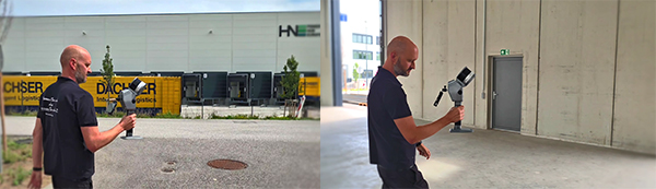
In the ScanKraft3D demonstration, the LS1 handheld SLAM scanner was used to capture spatial data from both inside and outside a building.
Using SLAM-powered mobile scanning, the operator could move through the environment while collecting 3D point cloud data.
Unlike stationary scanning methods that require individual scan setups, mobile SLAM scanning supports continuous data acquisition along the operator’s path.
The workflow demonstrated three connected stages. (Click to view the application process.)
1. Indoor and Outdoor Reality Capture
The building’s interior and exterior were captured using a mobile scanning approach.
SLAM technology supported spatial mapping as the scanner moved through the environment, while RTK-supported georeferencing provided a means of connecting suitable positioning data to the scanning workflow.
This combination is useful for building surveying projects involving transitions between indoor spaces and outdoor areas.
2. 3D Point Cloud Acquisition
During scanning, the system collected spatial information representing the building’s geometry.
The resulting point cloud provided a digital representation of the captured environment, supporting visualization, inspection, and subsequent processing.
For architects and surveyors, such datasets can serve as a reference for existing-condition documentation, renovation planning, and other engineering applications.
3. Point Cloud Processing with Hi-LiDAR
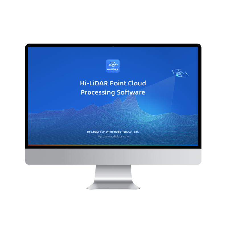
After field data acquisition, the captured data was brought into Hi-LiDAR for processing and analysis.
The demonstrated workflow included point cloud optimization, measurement, visualization, and preparation of 3D outputs.
The project illustrates how mobile scanning and processing software can work together, connecting physical environments with usable digital spatial data.
High-Speed 3D Mapping with the LS1 PRO
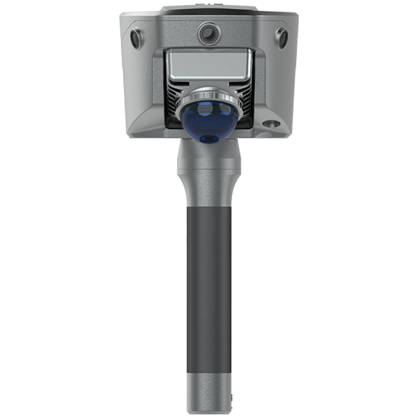
The LS1 PRO is a portable 3D scanner designed for professional mobile mapping and high-density point cloud acquisition.
With a scanning range of up to 300 m and a point acquisition rate of up to 640,000 points per second, the LS1 PRO supports efficient spatial data collection across large and complex environments.
Its integrated LiDAR and vision technology helps capture building geometry and visual information for detailed 3D documentation.
For building surveying, these capabilities can support:
- 3D building scanning and architectural documentation
- Existing-condition and as-built surveys
- Construction site mapping and verification
- Renovation and retrofit planning
- Building information modeling (BIM) workflows
- Digital twin data acquisition
Instead of relying solely on individual point measurements, surveyors can collect dense spatial information while moving through the site.
The resulting 3D point cloud can then be processed for engineering analysis, measurement, and visualization.
SLAM and RTK for Flexible Indoor-Outdoor Mapping
One of the key advantages of the LS1 PRO SLAM scanner is its integration of SLAM technology and RTK positioning.
SLAM enables mobile 3D mapping in environments where GNSS signals are limited or unavailable, such as building interiors, tunnels, and underground structures.
RTK positioning supports georeferencing when suitable GNSS signals and correction data are available.
The LS1 PRO integrates RTK directly into the scanner, without requiring an external bracket or cable.
According to its published specifications, the system provides:
- Built-in RTK accuracy of 2 cm
- Stated absolute accuracy below 4 cm
- Stated relative accuracy below 1 cm
- RTK-assisted free-path scanning
Actual mapping accuracy depends on environmental conditions, positioning quality, survey procedures, and processing methods.
The combination of SLAM and RTK helps surveyors work across different environments while maintaining a more flexible scanning workflow.
Real-Time Monitoring with the Hi-SLAM App
Reliable field data acquisition requires more than scanning speed. Operators also need feedback on scanning progress and data quality.
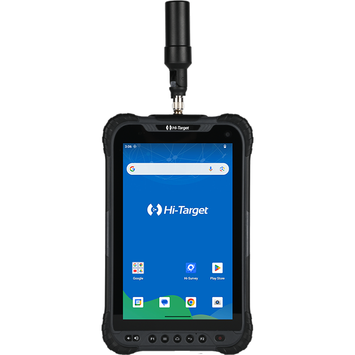
The LS1 PRO works with the Hi-SLAM App, providing smartphone-based control and real-time visualization.
During field operations, users can monitor trajectory quality, positioning information, and system status.
The application also supports real-time coordinate display and field measurement tools, including volume calculation.
For surveying and construction professionals, these capabilities help identify potential issues during data collection rather than only after returning to the office.
This supports more informed fieldwork decisions and can reduce unnecessary repeat visits.
From Reality Capture to 3D Point Cloud Processing
Raw point clouds are only the beginning of a professional 3D scanning workflow.
After data acquisition, surveyors and engineers need tools to clean, analyze, measure, and convert spatial data into practical deliverables.
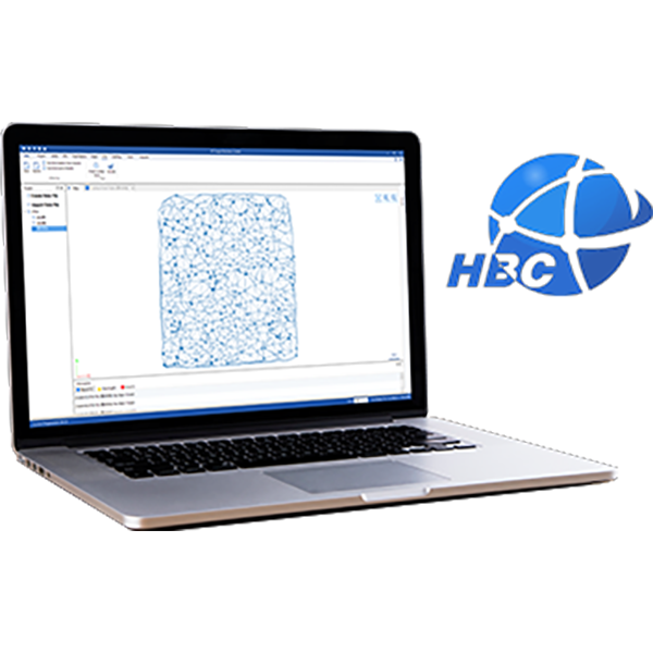
Hi-LiDAR provides an integrated platform for processing data captured by Hi-Target SLAM scanning systems.
Point Cloud Optimization and Classification
Hi-LiDAR supports point cloud filtering, colorization, classification, and moving-object removal.
These tools help improve the usability of scanned datasets and prepare them for further analysis.
Measurement and Engineering Analysis
Processed point clouds can support distance measurement, cross-section analysis, volume calculation, and building geometry inspection.
Point cloud slicing and DXF export help connect captured spatial information with CAD-based engineering workflows.
3D Visualization and Digital Reconstruction
Hi-LiDAR also supports mesh generation and 3D Gaussian Splatting (3DGS).
These capabilities provide additional ways to reconstruct and visualize scanned environments.
For architecture, digital heritage, and digital twin applications, 3D models and realistic visualization can make spatial data easier to explore and communicate.
Flexible Data Export
Support for point cloud formats such as E57, LAS, and RCP helps professionals transfer data into compatible third-party surveying, CAD, BIM, and visualization software.
Together, LS1 PRO and Hi-LiDAR support a connected workflow:
Physical Space → SLAM Scanning → 3D Point Cloud → Data Processing → Engineering Analysis → 3D Deliverables
This integration connects field data capture with downstream surveying and engineering requirements.
Applications in Building Surveying and AEC
The ScanKraft3D project demonstrates the value of mobile SLAM scanning for building documentation. Similar workflows can support a range of applications in architecture, engineering, and construction.
Building Surveying and As-Built Documentation
A portable 3D scanner can capture existing building geometry for architectural surveys, renovation projects, and as-built documentation.
Detailed point clouds provide spatial references for understanding building conditions and supporting future design work.
Construction Surveying and Site Documentation
For construction and civil engineering projects, mobile SLAM scanning can support site mapping, construction progress documentation, and existing-condition verification.
Processed point cloud data can also support comparisons with design models when appropriate survey control and accuracy requirements are met.
Scan-to-BIM and Digital Twin Workflows
Reality capture provides spatial information that can serve as a foundation for building information modeling and digital twin development.
Point clouds can be imported into compatible BIM software for further modeling, analysis, and coordination.
The LS1 PRO and Hi-LiDAR workflow supports the data acquisition and preparation stages of these applications.
Industrial Facilities and Infrastructure
Beyond buildings, SLAM scanning can support industrial facility documentation, equipment layout surveys, and infrastructure mapping.
Portable scanning is particularly useful in complex environments where conventional surveying setups may be difficult or time-consuming.
The LS1 PRO also supports handheld, backpack, vehicle-mounted, and UAV operating configurations for different mapping requirements.
A Complete Workflow for 3D Building Documentation
The ScanKraft3D building scanning project demonstrates how handheld SLAM technology can connect field data acquisition with 3D point cloud processing.
By capturing building interiors and exteriors, the project highlights the flexibility of mobile reality capture for architectural and surveying applications.
The workflow also illustrates the importance of processing software in turning raw spatial data into useful information.
For surveying, construction, architecture, and engineering professionals, the value of a SLAM scanner extends beyond data capture to the ability to prepare spatial information for practical project requirements.
With integrated LiDAR, SLAM, vision, RTK, and Hi-LiDAR processing, the Hi-Target LS1 PRO offers a flexible approach to professional 3D mapping.
Capture Faster. Process Smarter. Turn Reality into Usable 3D Data.
Explore the Hi-Target LS1 PRO SLAM Scanner to discover its features, specifications, and professional mapping applications.