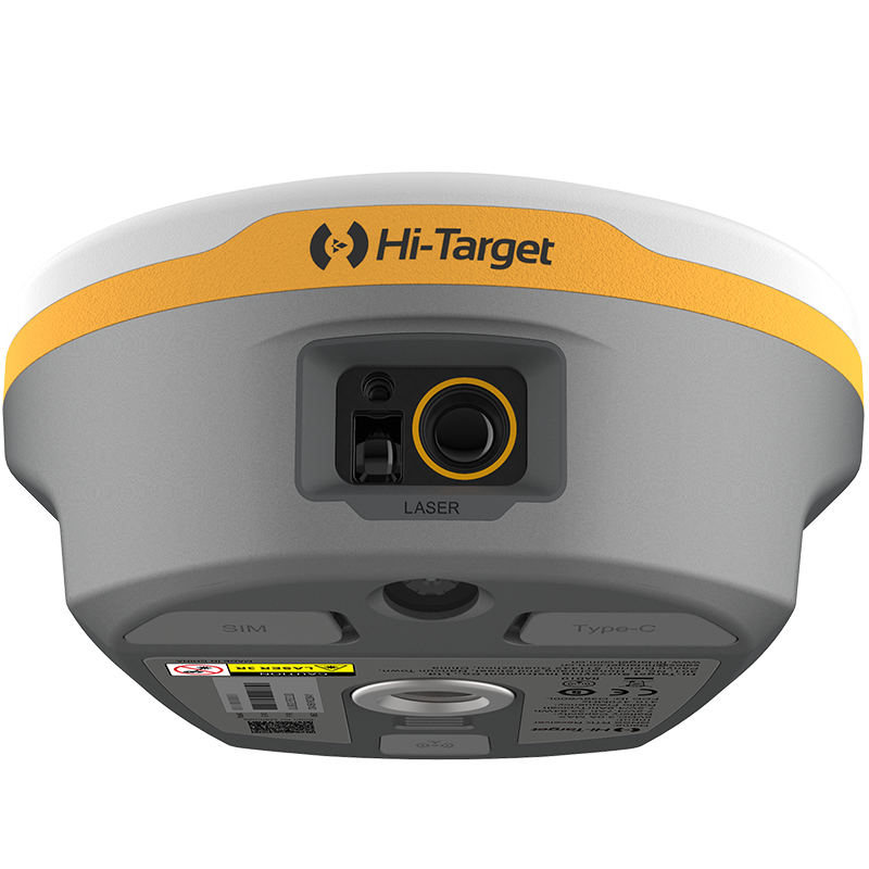
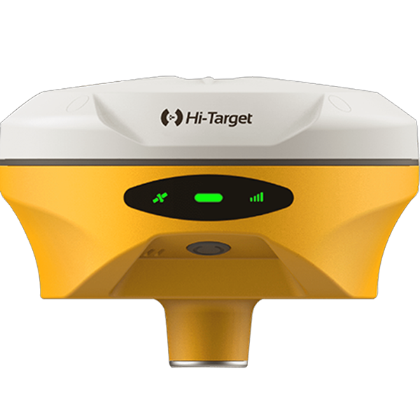
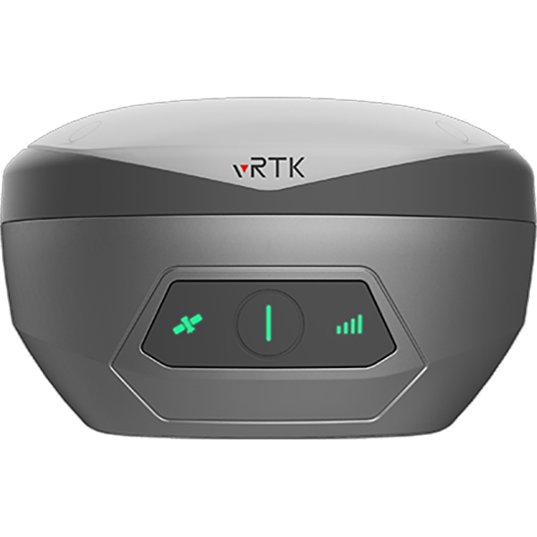
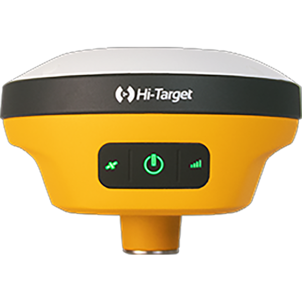
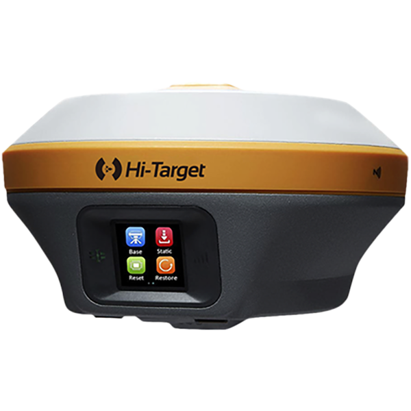
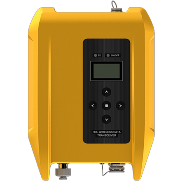
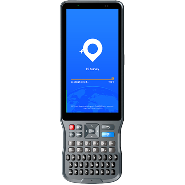
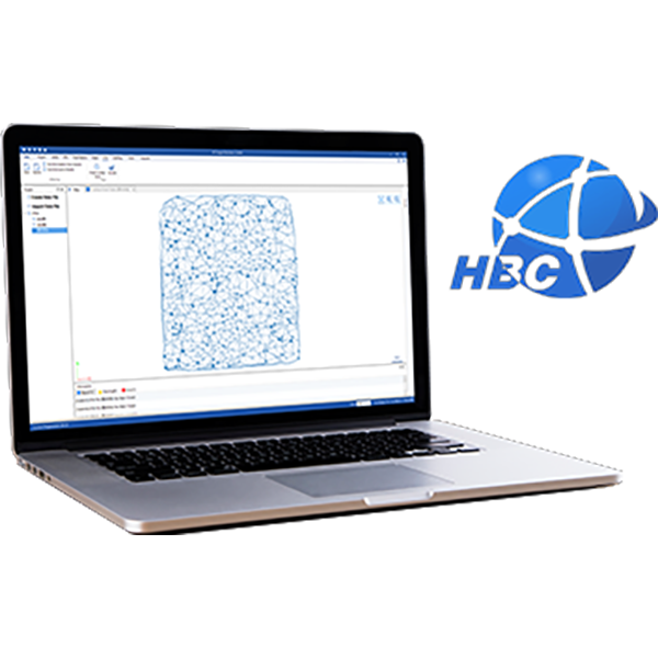
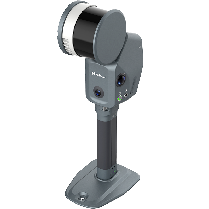
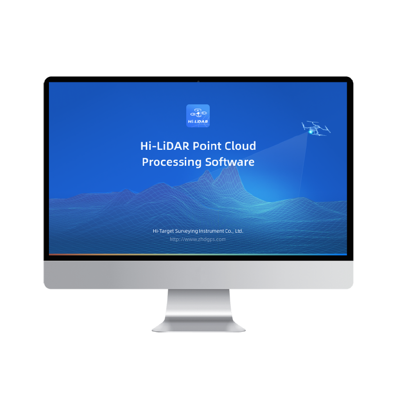
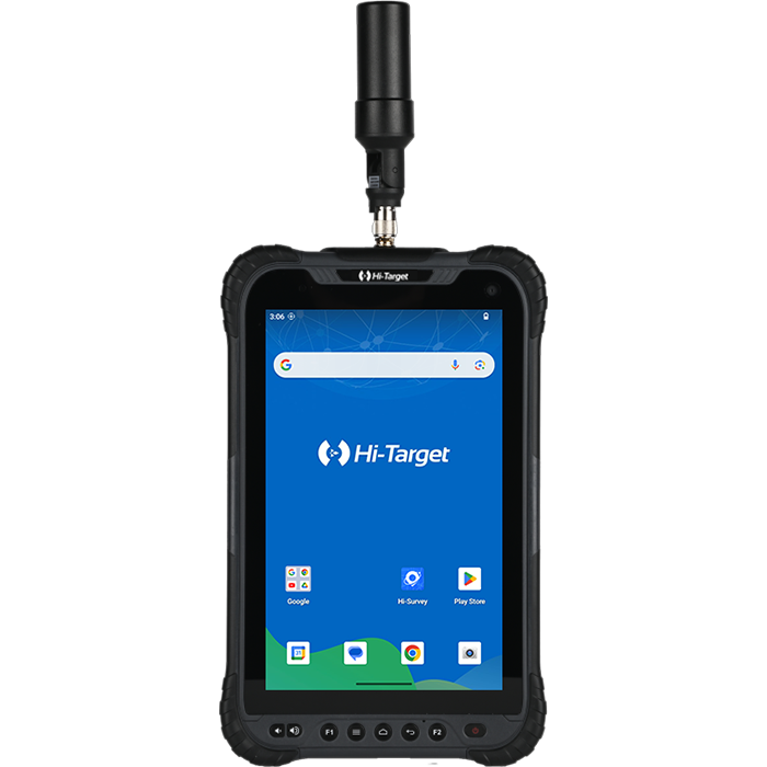
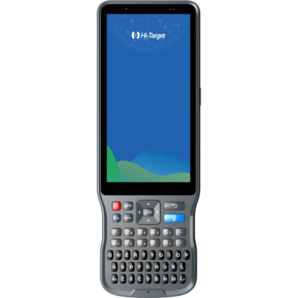
The Hi-Target V700S SLAM RTK was used for underground 3D scanning and archaeological surveying in Taşkınpaşa, Ürgüp, Türkiye. Combining RTK positioning with SLAM-based scanning, the project documented underground structures, narrow passages and interconnected chambers to create a georeferenced 3D point cloud for digital documentation.
From Visible Streets to Hidden Underground Spaces
Beneath the streets of Taşkınpaşa, Ürgüp, Türkiye, lies an underground archaeological site with stone entrances, ancient walls, arched ceilings, narrow passages, and interconnected chambers. Documenting these complex structures requires a surveying workflow that can capture both the overall spatial layout and the details of the underground environment.
The Challenge of Underground 3D Surveying
Underground archaeological environments can be difficult to document using conventional surveying methods. Narrow passages, irregular walls, curved ceilings, and interconnected chambers create complex geometries that may require considerable time to measure point by point.
For archaeologists, surveyors, and heritage documentation professionals, a detailed 3D representation can help preserve spatial information and support subsequent inspection, measurement, and analysis.
The challenge was to capture the underground site’s geometry efficiently while producing spatial data that could be referenced within a coordinate framework.
The Solution: V700S SLAM RTK for Underground Mapping
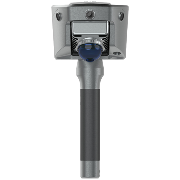
The Hi-Target V700S SLAM RTK combines SLAM-based 3D scanning with RTK positioning technology to support mobile mapping in complex environments.
During the project in Taşkınpaşa, the system was used to capture the site’s entrances, walls, ceilings, passages, and interconnected underground spaces.
Rather than measuring each feature individually, the surveyor could move through the environment while collecting 3D spatial data.
According to the project workflow, the data was processed into a georeferenced 3D point cloud without the need for ground control points.
This provided a digital representation of the underground site that could be explored and measured after fieldwork was completed.
From Underground 3D Scanning to a Georeferenced Point Cloud
The workflow connected on-site data acquisition with digital documentation in four key stages.
1. Capture the underground environment
The V700S SLAM RTK was used to scan the archaeological site’s complex geometry, including narrow passages, arched ceilings, stone walls, and interconnected chambers.
2. Map the surrounding structures in 3D
As scanning progressed, the collected data captured the spatial relationships between different areas of the underground site.
3. Process and georeference the data
The survey data was processed into a georeferenced 3D point cloud, connecting the captured environment with a coordinate framework without ground control points, as reported for this project.
4. Inspect, measure, and document
The resulting point cloud can be zoomed, sectioned, inspected, and measured, allowing users to examine structural details and spatial relationships beyond the original field visit.
Underground 3D Surveying Completed in Approximately One Hour
One notable result of the project was the time required for field documentation. The underground area was captured in approximately one hour.
The resulting 3D dataset provides a lasting digital record of the site, allowing professionals to revisit the captured geometry without relying solely on photographs or conventional point measurements.
For archaeological documentation and cultural heritage projects, this type of 3D survey data can support spatial inspection, measurement, digital archiving, and future documentation activities.
Actual project duration and achievable results depend on site conditions, survey scope, scanning settings, and data-processing requirements.
Applications in Archaeological Surveying and Cultural Heritage
The project illustrates how mobile 3D scanning can support the documentation of complex built and underground environments.
Potential applications include:
- Archaeological surveying: Recording the geometry of archaeological sites and underground structures.
- Cultural heritage documentation: Creating digital records of historic spaces and architectural features.
- Underground mapping: Capturing passages, chambers, and irregular underground environments.
- 3D point cloud surveying: Producing spatial datasets for inspection, measurement, and analysis.
- Digital preservation: Maintaining detailed digital records that can be revisited after fieldwork.
Bringing Hidden Structures into the Digital World
The Taşkınpaşa project demonstrates how the Hi-Target V700S SLAM RTK can support efficient 3D documentation of underground archaeological environments.
By capturing complex structures in approximately one hour and processing the data into a georeferenced point cloud, the workflow connects field reality with a digital spatial record.
From the streets above to the structures below, 3D scanning makes hidden geometry easier to explore, measure, and document.
Click to view the application process.
Reveal hidden structures. Document traces of history.
Discover the Hi-Target V700S SLAM RTK for 3D surveying, mobile mapping, and complex-environment documentation.