


CLICK HERE TO DOWNLOAD THIS CASE STUDY
Bathymetric surveys provide essential data for water resource management, reservoir assessment, and engineering planning. In remote areas, limited network coverage and field resources can complicate data collection. This case study presents a streamlined single-beam solution for lake surveys without CORS coverage.
High-Precision Lake Bathymetry Without CORS
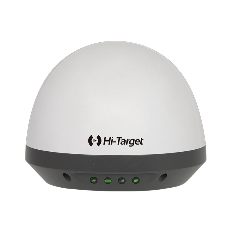
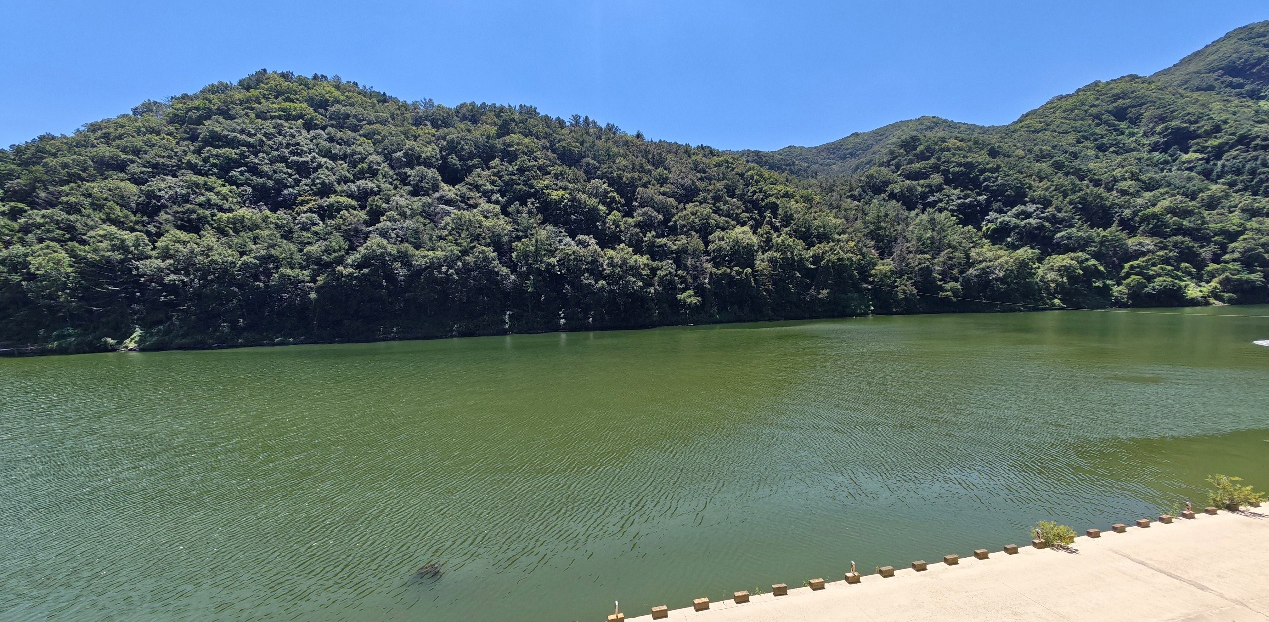
In 2026, Hi-Target successfully delivered and deployed a lightweight single-beam bathymetric solution based on the K20 GNSS Receiver and HD Lite SingleBeam Echosounder in a country. The primary objective of this project was to conduct bathymetric data acquisition in a wild lake area and establish underwater elevation data.
In traditional surveying operations, obtaining high-precision positioning often relies on CORS networks or setting up local base stations. However, in remote or wild areas, the lack of CORS coverage and the time-consuming process of setting up base stations significantly limit efficiency. This project utilized the PPP Solution built into the K20, combined with the HD Lite SingleBeam Echosounder and HiMAX software, to successfully achieve high-efficiency single-beam data acquisition with 10 cm positioning accuracy without the need for any differential source, ultimately creating a complete underwater contour model of the lake.
Project Snapshot
| Item | Details |
| Project | Bathymetric survey and elevation modeling of a lake |
| Time | 2026 |
| Solution | K20 GNSS Receiver + HD Lite SingleBeam Echosounder |
| Software | HiMAX SingleBeam Software |
| Scenario | Lake bathymetry acquisition to establish underwater elevation data |
| Key Advantages | No CORS, no base station, 10 cm positioning accuracy via PPP, single-person operation |
| Final Deliverable | Underwater contour map of the lake |
| Delivery Status | Successfully delivered and highly recognized by the client |
Project Challenges
Conducting high-precision bathymetric surveys in wild lake environments faces several key challenges:
- No CORS Coverage and Difficult Base Station Setup: Wild environments typically lack stable CORS network coverage. Setting up a traditional RTK base station requires finding known points, setting up a tripod, and configuring a radio, which is time-consuming and cumbersome.
- Equipment and Cost Constraints: The client aimed to reduce the number of field devices and overall survey costs while ensuring data quality.
- Single-Person Operation Requirement: Traditional single-beam surveys often require multiple operators (one to drive, one to monitor software, one to record). The client needed a lightweight, easy-to-use solution for single-person operation.
- Precise Navigation Requirements: Without proper navigation guidance on a wide lake surface, it is easy to deviate from the planned lines, leading to missed or duplicated survey areas.
Product and Solution Overview
To address these challenges, Hi-Target provided an integrated solution combining the K20 GNSS Receiver and HD Lite SingleBeam Echosounder.
1. K20 GNSS Receiver:
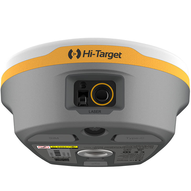
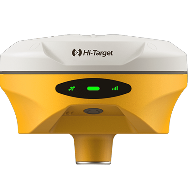
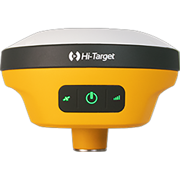
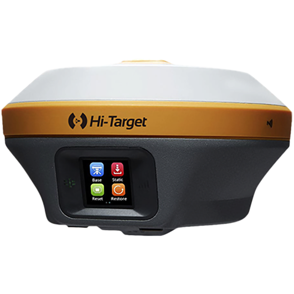
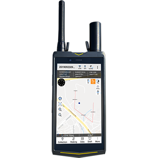
The K20 is a highly integrated GNSS receiver featuring a built-in PPP Solution. In wild environments with no differential source (such as CORS or base stations), the K20 can independently provide 10 cm positioning accuracy via PPP service. This greatly simplifies the field workflow, allowing users to measure right out of the box.
2. HD Lite SingleBeam Echosounder:
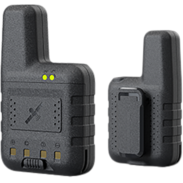
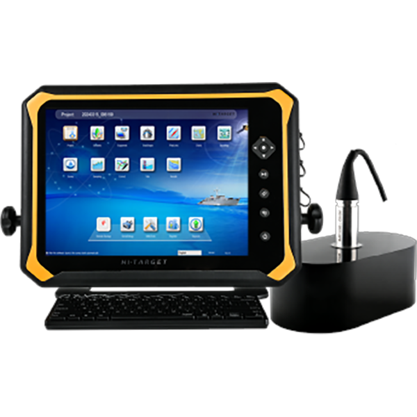
The HD Lite is a lightweight and cost-effective single-beam echosounder capable of accurately collecting underwater topographic data. It is ideal for inland lakes, rivers, and shallow water surveys
3. HiMAX SingleBeam Software:
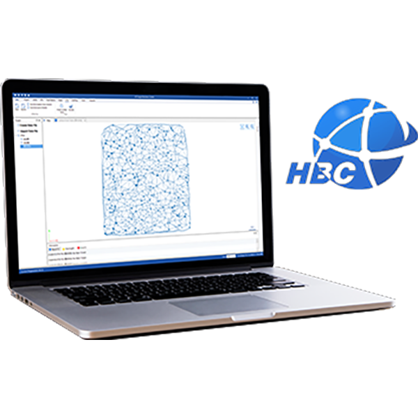
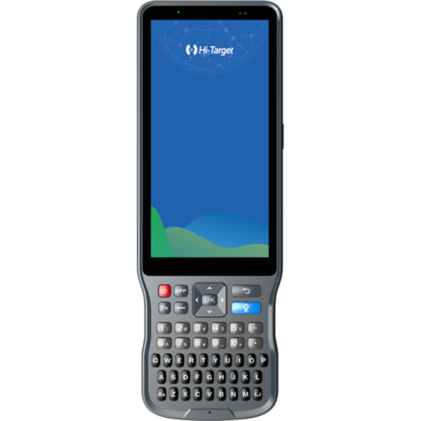
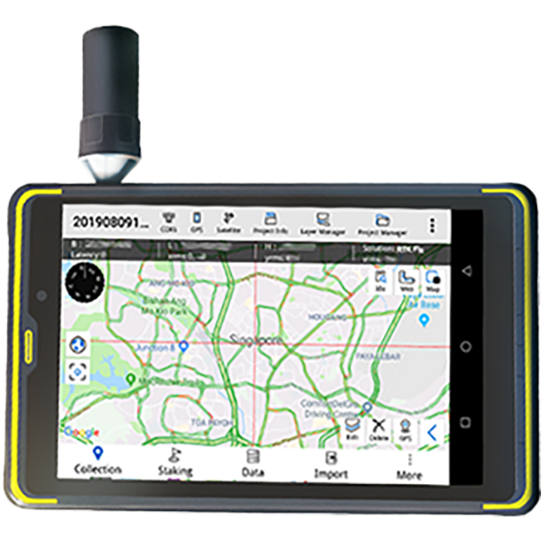
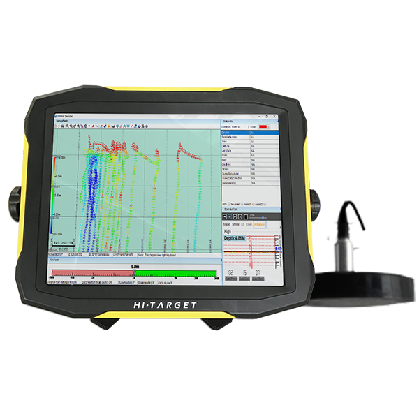
Acting as the control center of the solution, HiMAX not only records depth and positioning data but also features the powerful HiMAX Navigation function. This function automatically guides the user with the distance and angle to the next planned line, ensuring precise survey trajectories and preventing missed areas.
Field Implementation and Data Acquisition
The field test was conducted on a lake. The operator adopted a single-person operation mode, installing the K20 and HD Lite on the survey boat and controlling the system via HiMAX software.
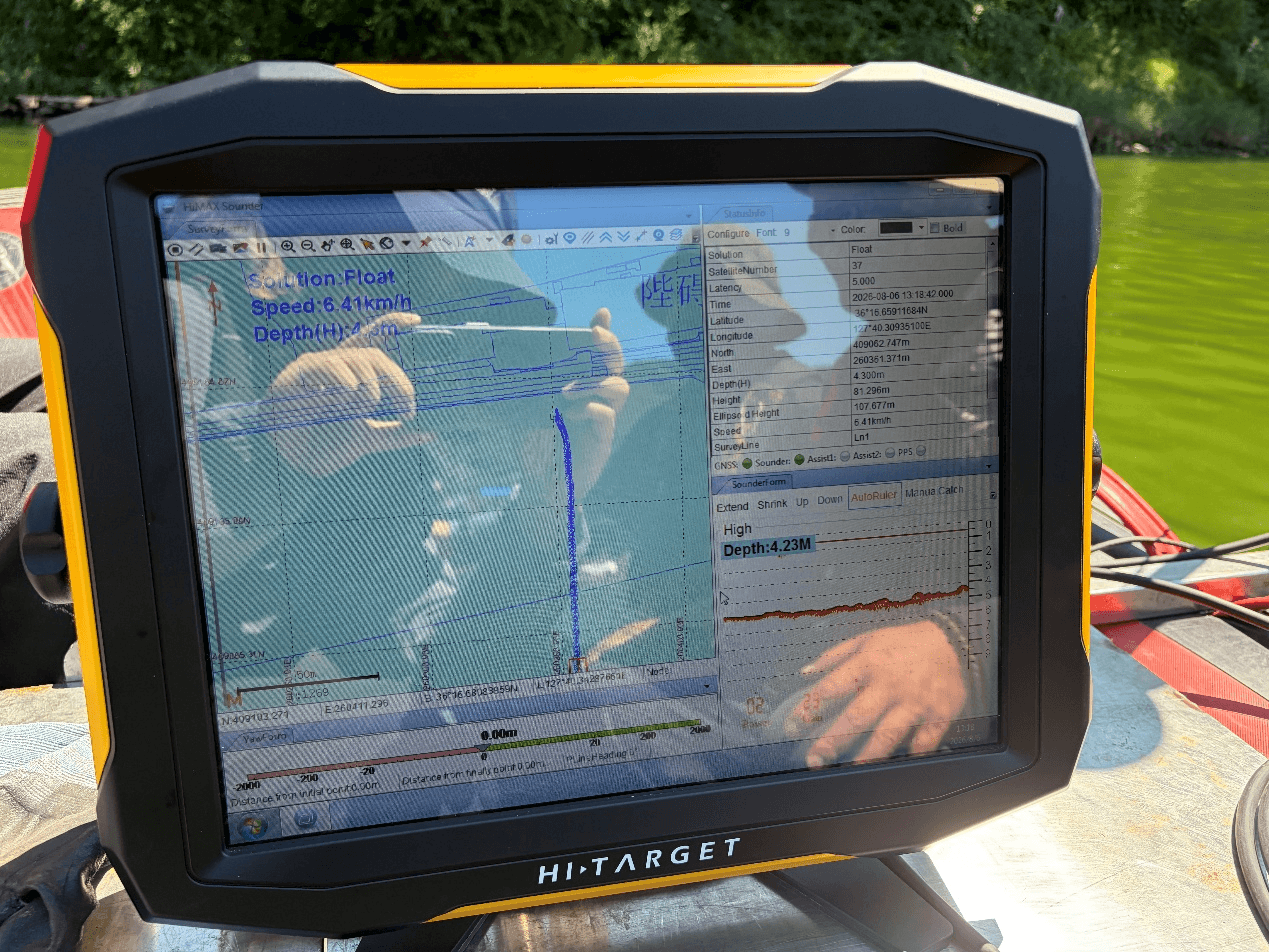
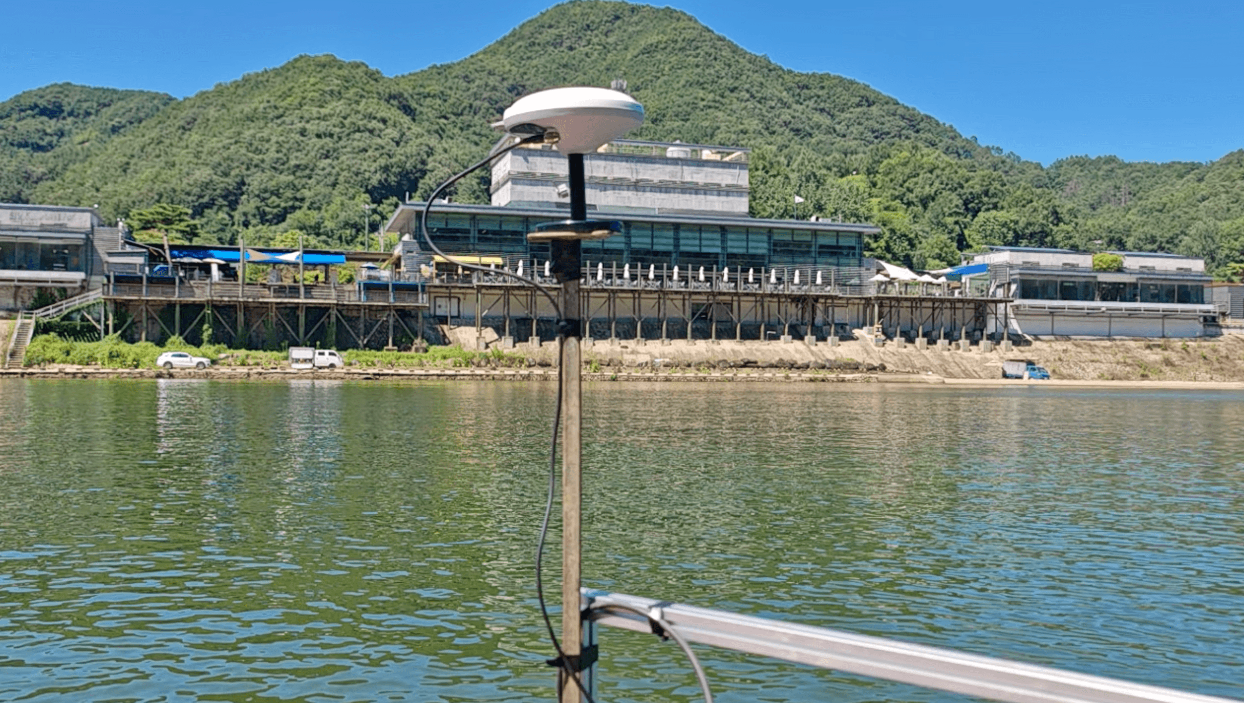
Lake Bathymetric Survey Workflow:
- Equipment Connection and Initialization: WTurned on the K20 and HD Lite, and configured them in the HiMAX software. The K20 automatically locked onto satellites and entered PPP Solution mode.
- Route Planning and Navigation: The survey area and planned lines were set in HiMAX. The HiMAX Navigation function displayed the boat’s real-time position and automatically guided the distance and angle to the next planned line, assisting the operator in navigating precisely along the survey lines.
- Data Acquisition: As the boat navigated along the planned lines, the HD Lite continuously collected bathymetric data, while the K20 simultaneously recorded high-precision positioning data. All data was displayed and recorded in real-time in HiMAX.
The entire process required no base station setup and no CORS connection, making the operation extremely simple.
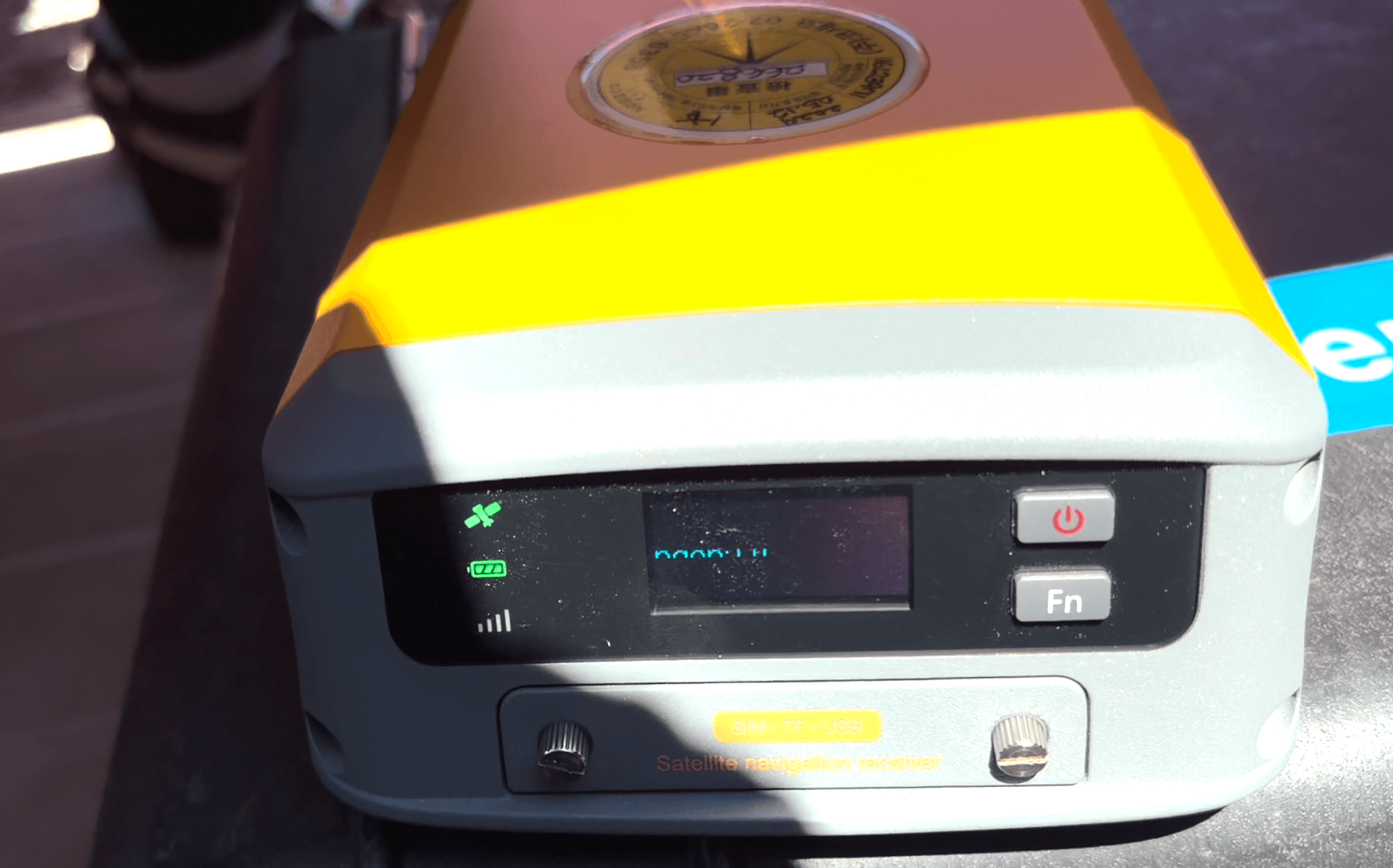
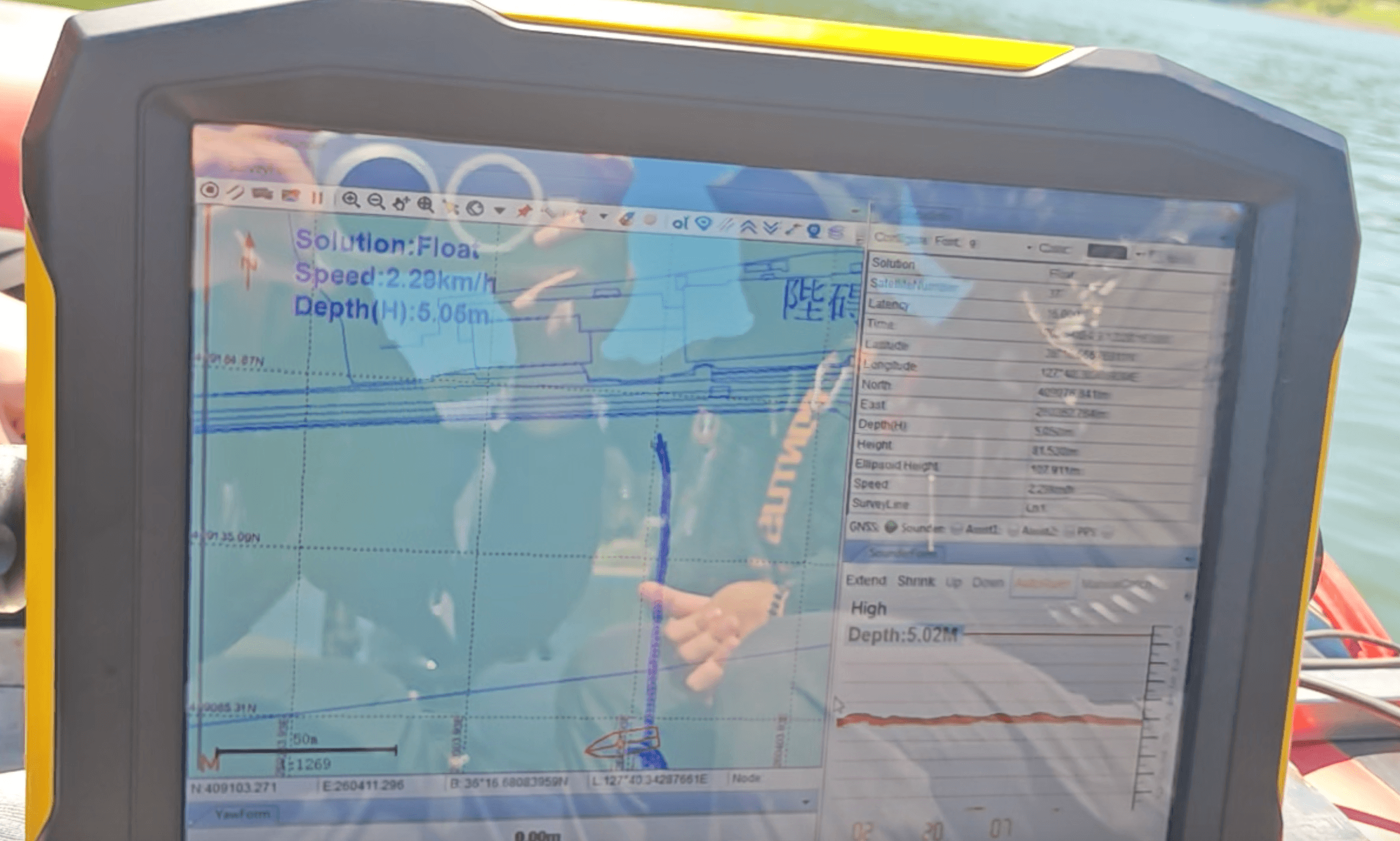
Bathymetric Mapping Results and Underwater Contour Data
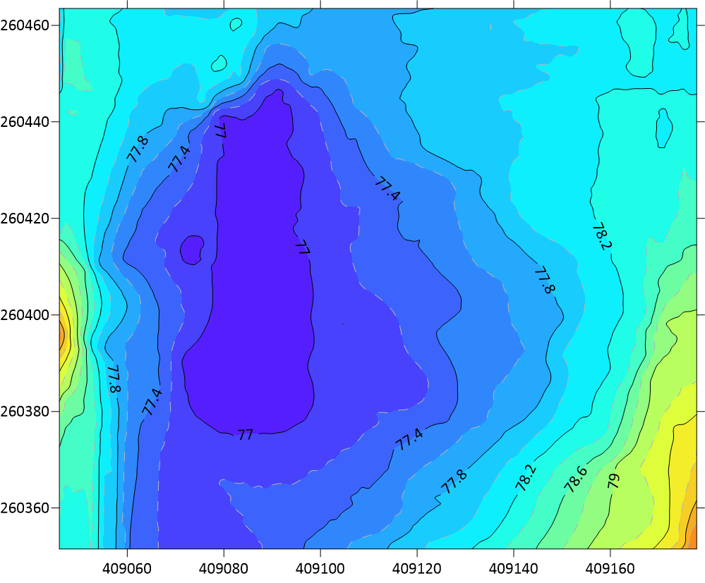
After field acquisition, the data was exported via HiMAX software. Thanks to the K20’s PPP 10 cm positioning accuracy combined with the high-quality depth data from the HD Lite, the underwater contour map of the lake was successfully generated.
The results accurately reflected the lakebed topography, fully meeting the client’s requirements for establishing underwater elevation data. During the test, the positioning status, navigation guidance, and depth data all operated stably with no abnormalities.
Benefits of Single-Person Bathymetric Surveying and Client Feedback
1. No CORS Needed, More Convenient Fieldwork:
The K20’s PPP Solution perfectly solves the pain point of lacking CORS in the wild. Without the need to set up a base station, the preparation time is significantly reduced, enabling high-precision measurements anytime, anywhere.
2. Cost Reduction and Efficiency, Single-Person Operation:
The highly integrated hardware and software solution allows a single person to complete the entire workflow from navigation to acquisition, significantly reducing equipment and labor costs.
3. Precise Navigation, No Missed Data:
HiMAX Navigation effectively solves the problem of blind navigation on water. Real-time distance and angle guidance improve survey efficiency and data coverage.
Client Feedback:
The client was highly satisfied with the test and delivery, commenting: “This is a very good combination, which greatly reduces the equipment and cost required for surveying.” The equipment has been successfully delivered and put into practical use.
Conclusion: Efficient Lake Bathymetry Without CORS
This case study demonstrates the immense application value of the K20 GNSS Receiver + HD Lite SingleBeam Echosounder + HiMAX combination in inland lakes and wild environments without CORS. With the 10 cm positioning accuracy provided by the PPP Solution and the powerful navigation and data acquisition capabilities of HiMAX, Hi-Target provides clients with a lightweight, low-cost, and highly efficient new option for single-beam bathymetry.