


CLICK HERE TO DOWNLOAD THIS CASE STUDY
In the real estate and architectural industries, obtaining accurate spatial data is fundamental for property evaluation, renovation design, and as-built documentation. As projects increasingly demand digital twins and 3D building information, efficient indoor mapping solutions have become essential for both surveyors and designers.
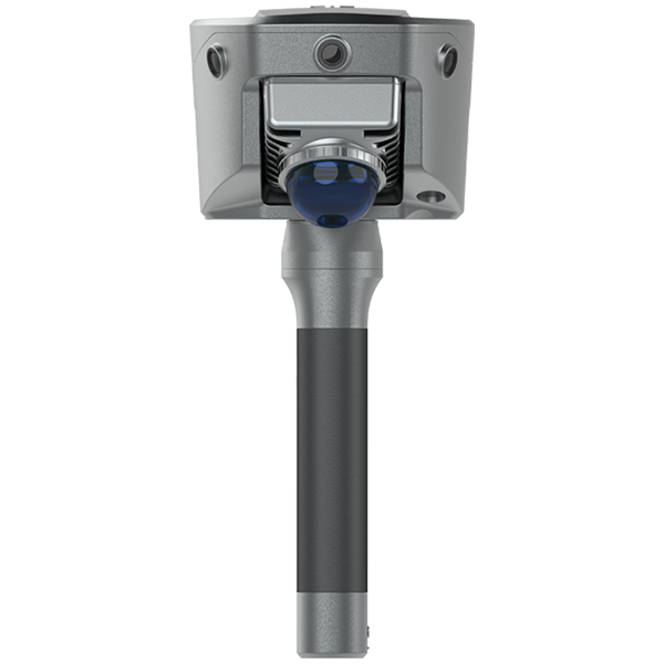
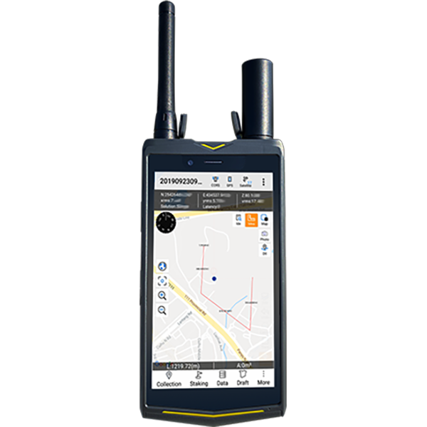
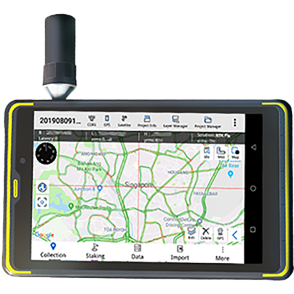
This case study showcases how V700S SLAM RTK scans a pre-renovation office floor at Hi-Target Headquarters. The goal was to quickly capture high-density point cloud data for renovation planning and verification.
Workflow:
1.Used Hi-Target V700S SLAM RTK to scan the entire floor, ensuring no data gaps
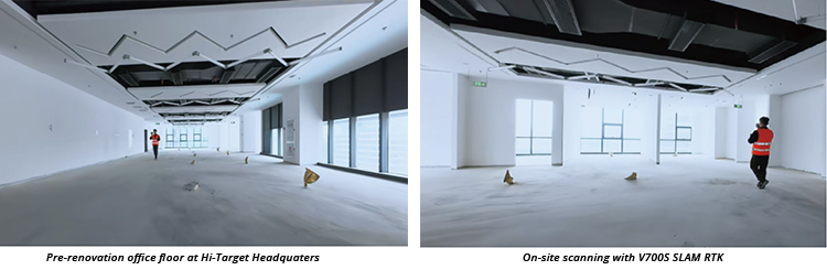
- Set 10 checkpoints to verify edge measurement accuracy.
- Processed point clouds in Hi-LiDAR software for slicing, leveling, and mapping.
- Output in CGCS2000/WGS84 coordinates for direct integration with outdoor survey data.
Result:
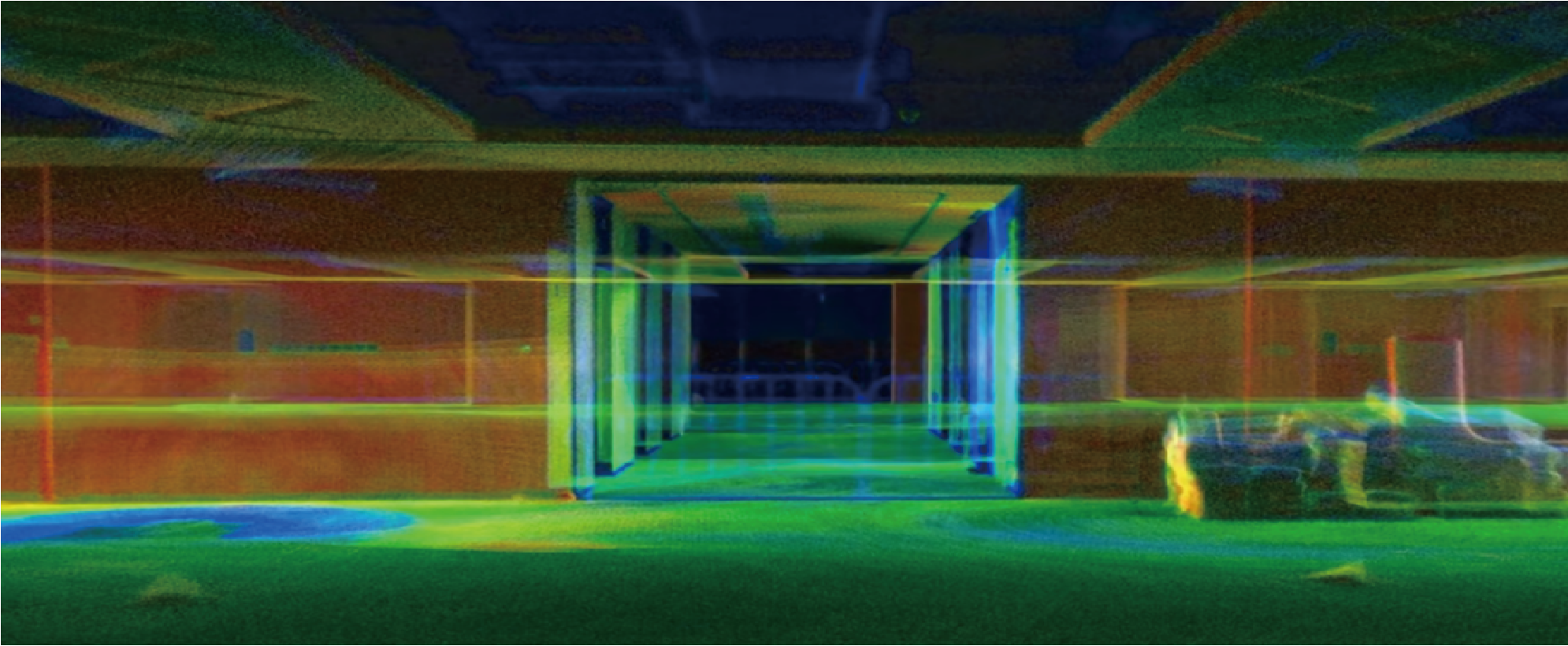
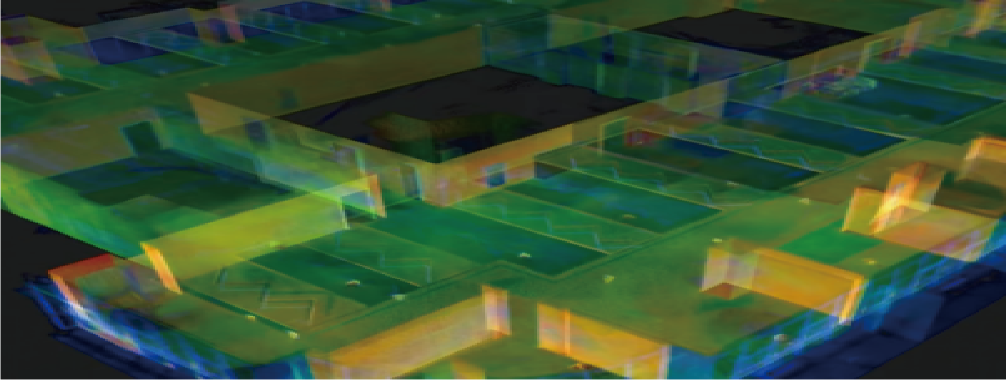
● Full 3D scan completed in 7 minutes.
● Interior details, including curved and irregular surfaces, captured with high accuracy.
● Georeferenced point cloud freely sliced and analyzed in post-processing.
● Precision met customer requirements, demonstrating V700S SLAM RTK’s efficiency and dual indoor–outdoor capability
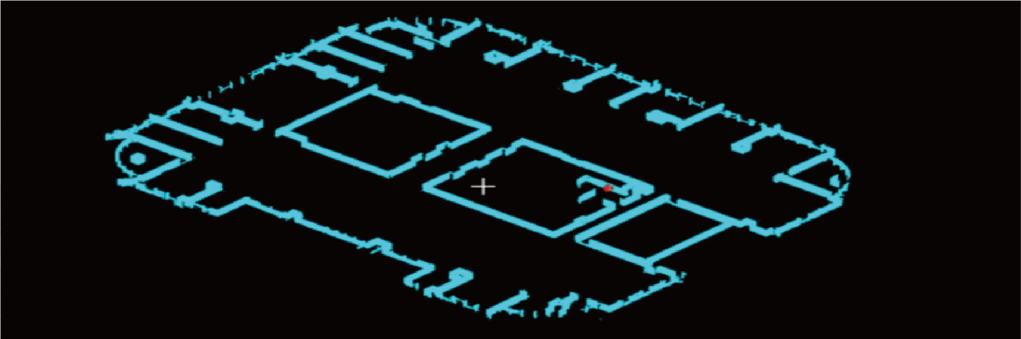
Point cloud and floor plan generated from point cloud data